

Met Eireann is warning people all over the country to expect “strong and very gusty” winds over the next 24 hours, with the forecaster even suggesting that some coastal areas should prepare for the possibility of gale-force winds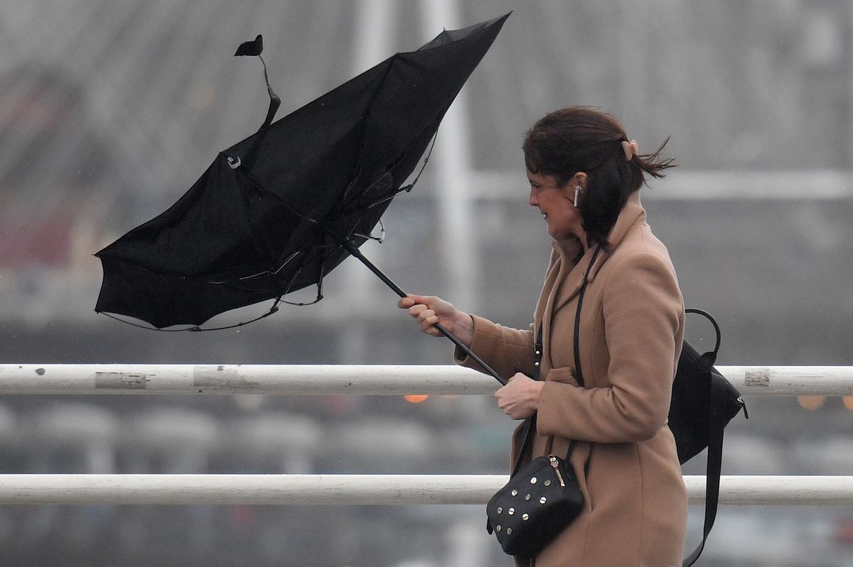
A Status Yellow wind warning will come into effect for 11 counties on Sunday afternoon – stock photo(Image: JUSTIN TALLIS/AFP via Getty Images)
Met Eireann has updated the Status Yellow weather warning issued for 11 counties as strong and powerful gusts are set to batter parts of the country later today.
The warning has been issued for counties Clare, Cork, Kerry, Waterford, Donegal, Galway, Leitrim, Mayo, Sligo, Wexford, and Wicklow.
The national forecaster issued the warning on Saturday and said at the time that it would remain in place from 4pm on Sunday until midnight.
However, in an update issued on Sunday morning, Met Eireann announced that it has brought the weather warning forward by two hours, with the wind alert now set to come into effect at 2pm this afternoon and remain in place until 10pm this evening.
The forecaster said very windy conditions are expected, with strong and gusty southwest winds. The adverse weather conditions are also expected to lead to difficult travelling conditions, as well as fallen trees and branches and some wave overtopping.

A wet and windy day is in store(Image: )
According to Met Eireann’s latest forecast, this morning will start cloudy with outbreaks of heavy rain and drizzle, along with mist and coastal fog.
The rain will become lighter and patchy later this morning, however it will become wet and windy during the afternoon as a spell of rain spreads northeastwards across the country.
The rain will gradually clear northeastwards this evening and will be followed by scattered heavy showers.
South to southwest winds will become very strong and gusty, with gales or strong gales in coastal areas.
It is expected to be milder than recent days with highest temperatures of 10C to 13C.
Tonight will be windy at first, with strong and gusty south to southwest winds, very strong in the northwest. Winds will become mainly moderate overnight, though.
There’ll be a mix of clear spells and scattered showers for most but a spell of rain will affect the northwest for a time early in the night, with lowest temperatures of 5C to 9C.
Tomorrow, Monday, will bring widespread showers and occasional sunshine.
We can expect highest temperatures of 7C to 11C with moderate to fresh southwesterly winds, easing light to moderate by evening.
There will be clear spells and scattered showers at first on Monday night. Cloud will build from the west overnight, bringing outbreaks of rain. Patches of mist and fog will form as winds become light and variable, with lowest temperatures of 1C to 5C.
Subscribe to our newsletter for the latest news from the Irish Mirror direct to your inbox: Sign up here.