
Ireland faces a miserable week of rain, gusty winds and snow, with Met Eireann issuing an early weather warning.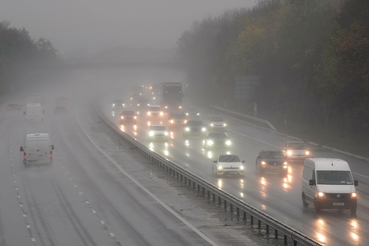
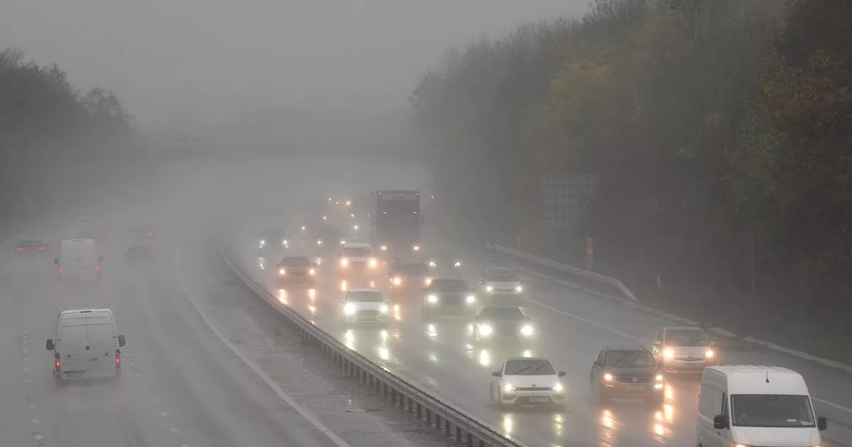
Motorists travel through rain and spray on a motorway (file photo)(Image: Joe Giddens/PA Wire)
Ireland is bracing for a miserable week of weather with torrential rain, gusty winds and even snow set to batter parts of the country.
Met Eireann has warned that an ‘unsettled regime’ will dominate for the coming week, with Tuesday pinpointed as a particularly unpleasant day.
A Status Yellow rain warning has already been issued for Waterford, Wexford and Wicklow from midnight until 6pm Tuesday, with localised flooding and difficult travelling conditions expected.
Meanwhile, parts of the north and northwest could see the rain turn wintry tomorrow morning, with higher ground most at risk of snow.
Ireland Weather Channel’s forecaster Cathal Nolan described the incoming conditions as a ‘multi hazard event’. He explained on his Facebook page: “A multi hazard weather event is set to occur on Tuesday, though this in itself will be enhanced by heavy rain expected Monday afternoon and evening across the eastern half of the country.
“A deep area of low pressure with a central pressure reading of close to 945hPa will cause significant rainfall accumulations, severe gales in coastal areas and high seas.
“All parts of the country will see heavy rain, however it’s the southeast, east and northeast that will see the worst of the weather with coastal and river flooding likely to be the greatest cause of concern.”
If this system reaches significant severity, it has the potential to become Ireland’s third named storm of the season – Storm Chandra. Storms are officially named when orange or red warnings are issued for medium to high impact weather, such as strong winds, heavy rain or snow.
Giving a day by day breakdown of this week’s forecast, Met Eireann said: “Dull, wet and breezy Monday with rain becoming widespread this morning and turning heavy at times. A clearance will develop in the southwest and west this afternoon with the rain giving way to sunny spells and the occasional shower, but it’ll remain dull and wet elsewhere. Highest temperatures of 5C to 10C , mildest in the southwest. Moderate to fresh southeasterly winds will fall light later as the rain clears.
“Patchy rain and drizzle will linger in parts of the east and north early Monday night, but it will be mainly dry for a time elsewhere, with a mix of cloud and clear breaks and areas of mist and fog forming. Cloud will thicken everywhere overnight with rain spreading from the east and turning heavy at times. Lowest temperatures of 0C to 5C , coldest where clear breaks occur. Light variable winds at first will become easterly overnight, increasing fresh to strong and gusty by morning with gales developing on coasts.
“Wet and windy to begin on Tuesday, with widespread rain, heavy at times, possibly turning wintry for a time about higher ground in the north and northwest during the morning. Clearer, brighter breaks and showers will follow from the south, for a time, before further spells of rain spread up over the country. Fresh to strong or near gale and gusty easterly winds will be strongest near eastern and southern coasts with gales on coastal fringes. Highest temperatures of 5C to 9C.
“Wet and windy at first on Tuesday night with widespread showers or longer spells of rain. Winds will gradually ease overnight and the showers will become scattered with longer clear breaks developing. Lowest temperatures of 2C to 6C with fresh to strong and gusty easterly winds becoming southerly and easing moderate to fresh by morning.
“Some early bright spells in the north Wednesday but overall, rather cloudy with further showers or longer spells of rain feeding up from the south in mostly moderate to fresh southeasterly winds. Highest temperatures of 7C to 10C. Showers or longer spells of rain look set to persist through Wednesday night. Some clearer drier breaks may develop in some parts. Lowest temperatures of 3C to 6C in mostly moderate, occasionally fresh southeasterly winds.
“Another rather cloudy day is signalled Thursday with further showers or longer spells of rain. Some limited brighter intervals could occur. Highest temperatures of 6C to 10C in light to moderate southeast to east winds, fresher further north.
“Again rather cloudy overall Friday with further showers or longer spells of rain, possibly heavy. Highest temperatures of 6C to 9C with moderate to fresh easterly winds easing light to moderate southerly.
“Little change for the weekend with the chance of showers or longer spells of rain persisting across most areas as low pressure continues to dominate.”
Subscribe to our newsletter for the latest news from the Irish Mirror direct to your inbox: Sign up here.