
Met Éireann’s Michelle Dillon said there would be a significant drop in overnight temperatures compared with the milder weather of recent weeks.
“It will prove cold with some frost and ice in places on Friday morning, especially in the west and north,” she said.
“Munster and south Leinster will see cloud, but that will clear to leave dry and sunny conditions with a few isolated showers in the north and highest temperatures of 3C to 7C,” she said.
Friday night will prove mainly dry but very cold and frosty with some icy patches. Temperatures are set to drop to -4C and possibly as low as -5C in some places along higher ground.
“Saturday will have a frosty start with some icy patches,” added Ms Dillon. “It will be dry for a time, with some spells of sunshine, the best of these further east.
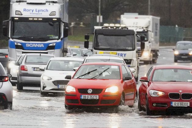
“It will become increasingly cloudy from the west through the day, with rain spreading north-eastwards through the afternoon and evening, turning heavy in parts, with the chance of some sleet later in the day, especially over higher ground.”
Temperatures of just 3C to 7C are expected in most areas on Saturday.
Rain will spread across Ireland on Saturday evening, with some areas seeing heavy showers that could turn to sleet. However, overnight temperatures will rise by around 6C and most areas should see 1C to 5C on Sunday.
“Sunday will be a bright day with sunshine and scattered showers, these most widespread in the west and north, some heavy and with a chance of hail and maybe the odd isolated thunderstorm in coastal parts. Highest temperatures will be 7C to 11C,” said Ms Dillon.
Sunday night will again bring showers across many areas with resulting temperatures remaining above freezing, between 2C and 6C.
“Monday will be breezy or rather windy with sunshine and showers. The showers will be most widespread in the west and north, some heavy, with the chance of hail and isolated thunderstorms,” Ms Dillon said.
“A longer spell of rain is possible too for a time, in the north and north-west, and there is the possibility of a little sleet for a time over higher ground, mainly in the north.”
Highest daytime temperatures will be between 7C and 10C. However, temperatures will plummet on Monday night into the early hours of Tuesday morning, potentially dropping to as low as -4C in some areas.
There will again be a risk of travel disruption given the potential for challenging driving conditions on the busy midweek commute.
“Tuesday morning will see a cold and frosty start, with some sunshine. Cloud will increase from the southwest through the day, with rain gradually moving further north-eastwards. There’s a chance of a little sleet and snow, especially over higher ground,” Ms Dillon said.
Ralph Riegel