

A Saharan dust plume is making its way across Europe, where it is likely to fall to the ground as gritty orange rain when it hits northern Europe’s rainier atmosphere.
Saffron Walden, Essex, UK – February 1, 2024: Saharan dust cloud creates spectacular skies at sunset over England UK with a silhouette skyline
According to meteorologists, a plume of Saharan dust is currently sweeping across the Mediterranean and Western Europe, and it may impact Ireland later this week.
The Saharan dust cloud, as its name suggests, comes from the Sahara desert, and occurs when strong winds blow from south-southwest towards north-northeast, kicking up dust and carrying it in gusts upwards across the continent of Europe. The particles then fall to the ground when they hit northern Europe’s rainier atmosphere.
This is when we can see it gathering on parked cars and contained within raindrops on glassy surfaces. When large amounts of dust are deposited, thick layers of dust can be seen, and the sky will be tinted a hazy yellow or orange as the sun shines through the dusty clouds.
Alan O’Reilly of Carlow Weather said that Ireland may see some effects of the dust on Friday and Saturday.
“Feeling cool in the shade on Friday temperatures coming back up a little bit for the weekend we also have the Saharan dust on its way up towards us so that means that with that rain tomorrow some of that Saharan dust could come down to surfaces, especially in the east,” he said.
“So you could see some dust on your cars and your windows etc but look lots of sunshine to look forward to on Friday and Saturday so at least there is more sunshine on the way.”
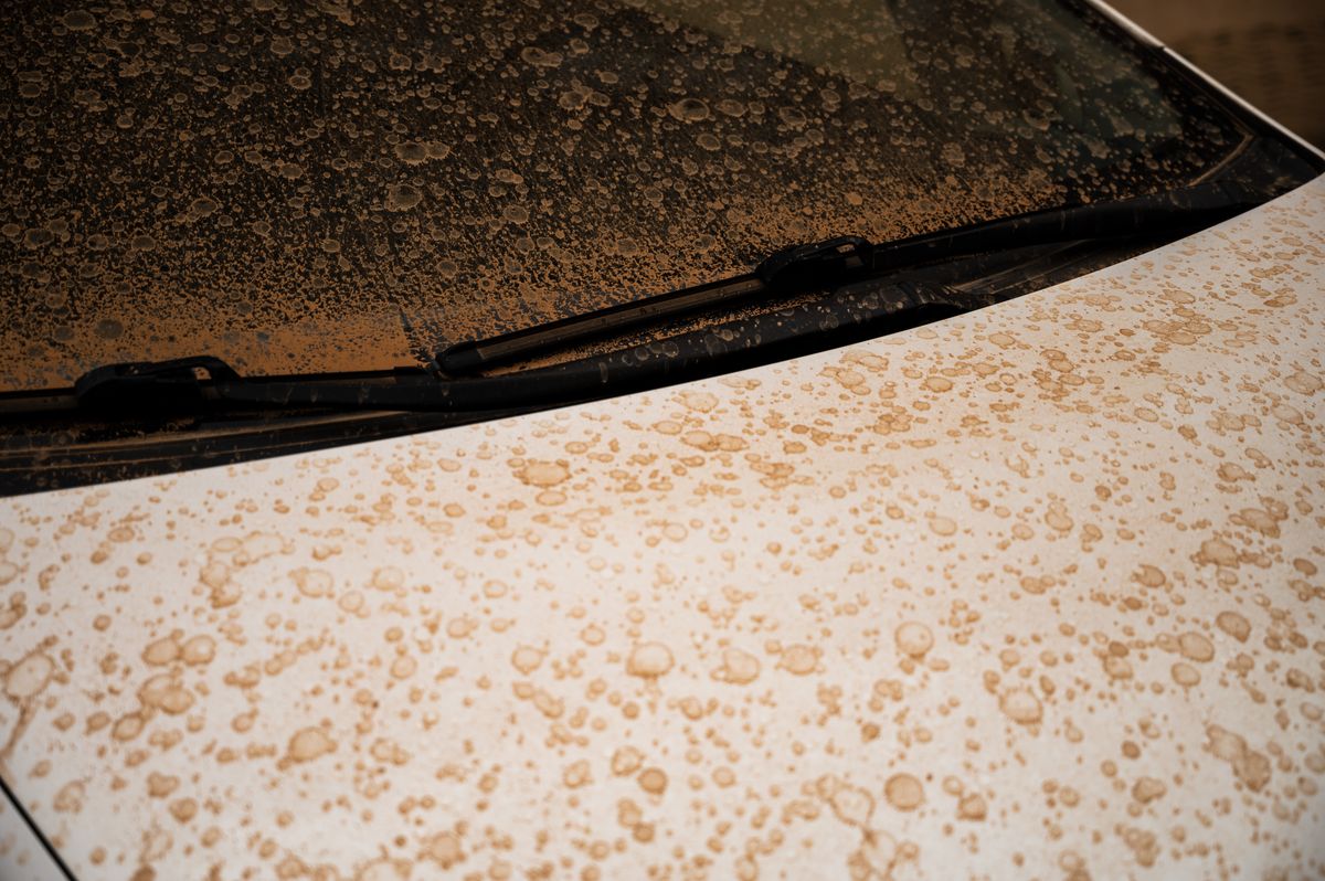
Car covered with brown dust generated by a high amount of particles in suspension coming from the the Sahara(Image: Marcos del Mazo/LightRocket via Getty Images)
His forecast for the remainder of the week includes rain returning tonight. He predicted that the rain will move in from the west overnight tonight and it will be a very wet start in many parts on Thursday morning.
However, the rain will move off eventually: “That rain will move east and it will stay wet in the east until after dark however a nice sunset is very possible in the west so keep an eye out for that as that clearance comes. It will turn cold on Thursday night, there will be a risk of frost on Friday morning, so bear that in mind, but Friday we’ll see lots and lots of sunshine, lots of blue skies again.”
“A good day on Friday, feeling cool but lots of sun and if you’re in the shade you will want to wrap up. Saturday will also start off nice and sunny, good sunny spells on Saturday, but cloud will move in from the south east and it will turn then cloudy, mix of sunny spells and showers on Sunday.”
Sky News UK weather presenter Jo Wheeler said: “Saharan dust is most spectacular when delivered by rainfall, leaving a blood red residue on cars. Since our weather is going to be largely dry for the next few days, we’ll notice hazy skies and vibrant orangey sunrises and sunsets. The impacts are most likely today and tomorrow.”
Want to see more of the stories you love from Dublin Live? Making us your preferred source on Google means you’ll get more of our exclusives, top stories and must-read content straight away. To add Dublin Live as a preferred source, simply click here.