
A nationwide Status Yellow Wind warning will come into effect before temperatures drop to 0C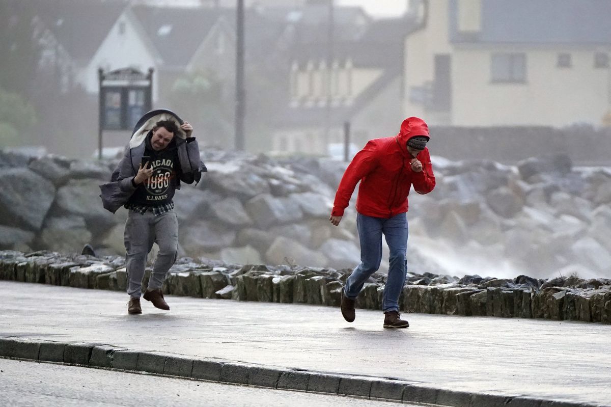
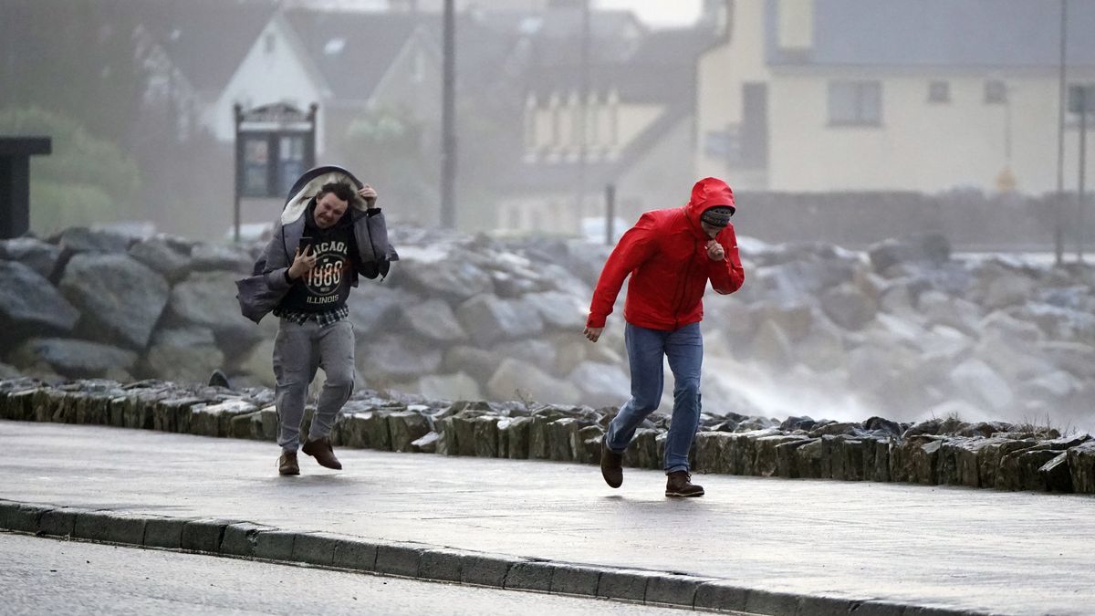
People walking in high winds at Salthill, Galway (Image: PA Wire/PA Images)
Ireland is bracing for a bout of strong winds and freezing temperatures this week, with a nationwide weather warning in place and freezing temperatures forecast.
A Status Yellow – Wind warning for Ireland will come into effect at midnight, and remain in place until 6pm on Thursday evening.
Met Éireann warned there would be strong and gusty southwesterly winds as well as difficult travelling conditions, debris or loose objects displaced and some fallen branches or trees.
Alongside these heavy winds, Met Éireann forecasters have warned that a mobile Atlantic regime will bring rain or showers over the rest of the week, while the mercury is set to drop dramatically.
Temperatures are set to dip on Thursday night, plunging to 0C with wintery showers and lying snow possible across higher ground. Friday will see scattered showers falling as sleet and possibly snow at times early on.
The ever reliable Alan O’Reilly of Carlow Weather also warned it would be windy in the northwest of the country, before more rain tomorrow.
He wrote: “Windy tonight in northwest but more strong winds early Thursday and more rain Thursday also.”
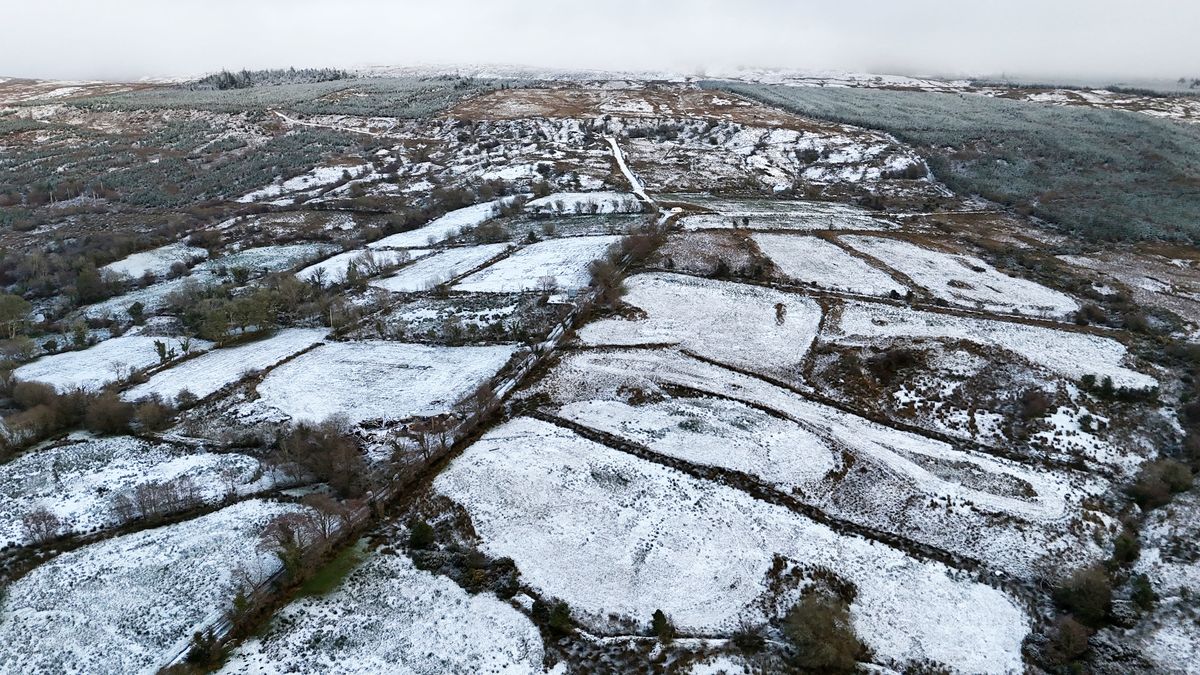
Snow covered farm land in Drumshanbo Co Leitrim(Image: PA)
Here is Met Éireann’s Irish weather forecast for the coming days:
Wednesday
Dry and bright for most with a mix of sunny spells and scattered showers, that will become more isolated through the afternoon. However, cloud will build from the west towards evening. Highest temperatures of 8 to 11 degrees. A breezy day with moderate to fresh west to southwest winds.
Becoming windy with showery outbreaks of rain developing, heaviest for northwestern counties tonight. Southwesterly winds will increase fresh to strong and gusty too. Lowest temperatures of 5 to 9 degrees.
Thursday
A wet and windy day with outbreaks of rain, heavy at times, along with fresh to strong and gusty southwest winds. Some spot flooding is possible, mainly in parts of the northwest. The rain will slowly clear southeastwards with sunny spells and showers following into the northwest during the afternoon. Highest afternoon temperatures of 4 to 8 degrees over much of the northern half of the country and milder reaching 8 to 11 degrees further south. Some hail and lightning will occur later also.
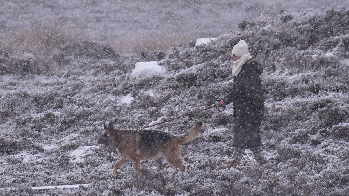
A walker in the snowy conditions at the Wicklow Gap mountain pass in Co Wicklow. (Image: Niall Carson/PA Wire)
Cold with scattered blustery wintry showers, mainly affecting Atlantic counties throughout Thursday night. Some of the showers will be heavy with isolated thunderstorms. Some lying snow is possible across higher ground and parts of the northwest. Lowest temperatures of 0 to 4 degrees in fresh to strong and gusty southwesterly wind.
Friday
Rather cold and breezy with sunny spells and scattered showers. The showers will fall as sleet and possibly snow at times early on. Isolated thunderstorms and hail are also likely. Highest temperatures of just 5 to 8 degrees in fresh and gusty westerly winds, making for an added wind chill factor.
The showers will become largely confined to Atlantic coasts overnight. Lowest temperatures of 1 to 5 degrees in light to moderate southwest winds.
Saturday
Dry to start in the east with sunny spells but becoming cloudy as rain and drizzle spread from the west becoming widespread by the afternoon. Highest afternoon temperatures of 5 to 9 degrees in moderate southerly winds.
Want to see more of the stories you love from the Irish Mirror? Making us your preferred source on Google means you’ll get more of our exclusives, top stories and must-read content straight away. To add Irish Mirror as a preferred source, simply click here.