
A Status Yellow rain warning will be in place for counties Cavan, Donegal, Monaghan, Clare, Kerry, Limerick, Tipperary, Dublin, Kildare, Laois, Longford, Louth, Meath, Offaly, Westmeath, Wicklow and Connacht.
This will be in place from 6am on Thursday until 3pm.
The national forecaster said heavy downpours are expected, with spot flooding, poor visibility and difficult travelling conditions.
While a Status Yellow wind warning will be in place nationwide from midnight tonight until 6pm on Thursday.
Potential impacts will include difficult travelling conditions, debris or loose objects displaced and some fallen branches or trees.

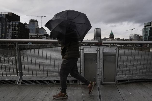
There will be both dry, sunny spells and rain in the mix for the days ahead. Photo: Brian Lawless/PA
News in 90 seconds – March 11
A mobile Atlantic regime will bring rain and showers, turning breezy and cool with some of the showers turning wintry at times.
Thursday will be wet and windy with spells of rain and fresh to strong and gusty south to southwest winds. Rain will be heavy at times with spot flooding possible.
It will slowly clear southeastwards through the afternoon and evening with showers following, some possibly of hail.
Becoming colder as rain clears with afternoon temperatures of 4 to 8 degrees over much of the northern half of the country and reaching 8 to 11 degrees further south
Snow may fall in some areas this week, while rain and showers also on the cards for the rest of the week broken up by some sunny spells.
Snow is possible in areas of higher ground and in the northwest this week on Thursday evening and Friday, according to Met Éireann.
There will be both dry, sunny spells and rain in the mix for the days ahead. Photo: Brian Lawless/PA
7 Day Weather Forecast – 9th March to 15th March
Thursday night will be cold with scattered blustery wintry showers, mainly affecting Atlantic counties. Some lying snow is possible across higher ground and parts of the northwest, with lowest temperatures of 0 to 4C.
Friday will be rather cold and breezy with sunny spells and scattered showers. The showers will fall as sleet and possibly snow at times early on.
Highest daytime temperatures will range between 5 and 8C.
Friday night will see showers become largely confined to Atlantic coasts overnight. Lowest temperatures of 1 to 5C in light to moderate southwest winds.
Saturday will be dry to start in the east with sunny spells, but the day will later become cloudy as rain and drizzle spread from the west becoming widespread by the afternoon.
Saturday will see highest afternoon temperatures of 5 to 9C.
The evening will see the rain ease and become lighter and patchier with some clear spells developing.
Lowest nighttime temperatures will range from 5 to 8C in moderate to fresh southwesterly winds.
Sunday will be a cool and breezy day with sunny spells and blustery showers, some turning wintry in places with sleet or hail possible.
There will be highest afternoon temperatures of 5 to 9C in fresh to strong westerly winds.