
There will be heavy rain and strong winds throughout the day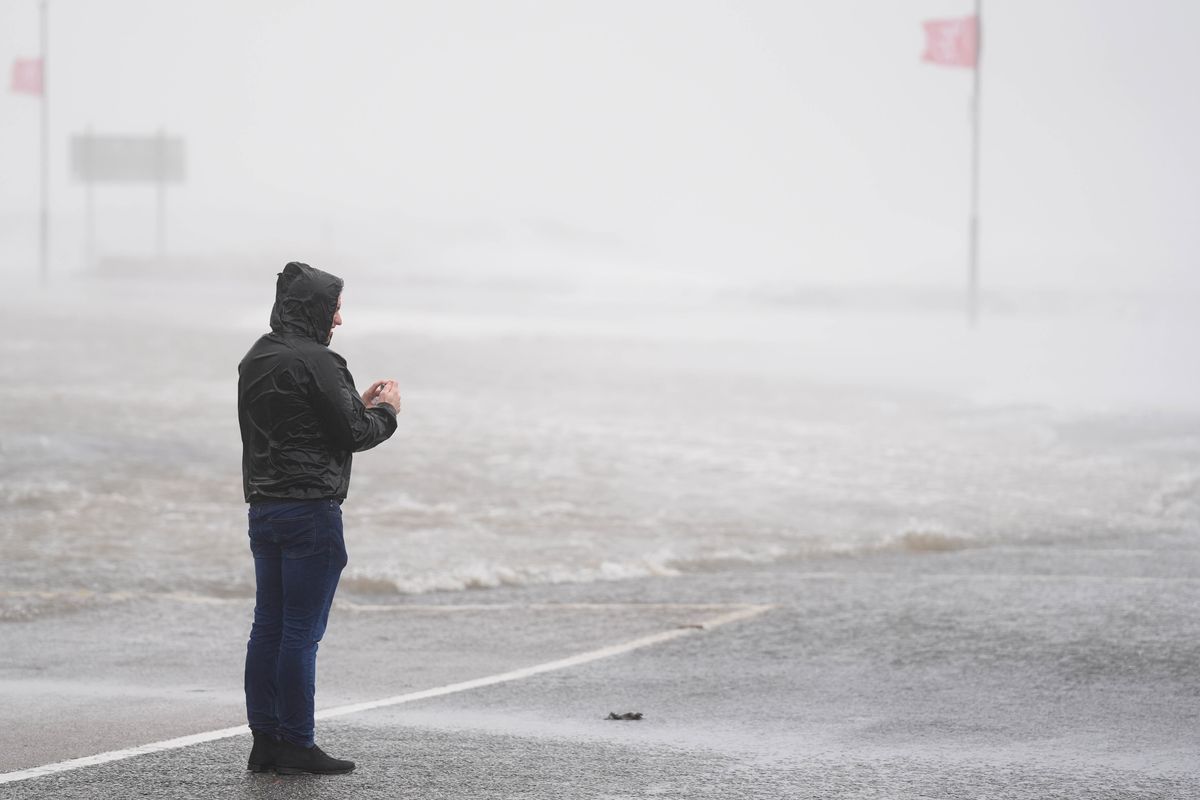
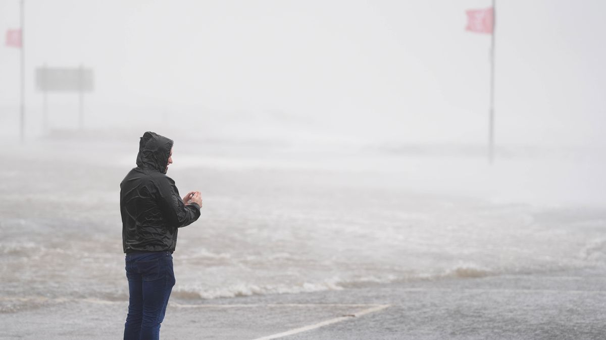
A person looks at a flooded road in Galway (file photo)(Image: Brian Lawless/PA Wire)
Ireland is set to be battered by heavy rain and strong winds before temperatures drop and wintery showers hit parts of the country.
A Status Yellow Rain warning for Cavan, Donegal, Monaghan, Clare, Kerry, Limerick, Tipperary, Dublin, Kildare, Laois, Longford, Louth, Meath, Offaly, Westmeath, Wicklow, and all of Connacht is in place until 3pm.
Met Éireann forecasters said there would be rain with heavy downpours in places alongside spot flooding, poor visibility and difficult travelling.
A Status Yellow Wind warning for Ireland is in effect until 6pm. Issuing the warning, forecasters said there would be strong and gusty southwesterly winds as well as difficult travelling conditions, debris or loose objects displaced and some fallen branches or trees.
The UK Met Office has also issued a Yellow – Wind Warning for Antrim, Armagh, Down, Fermanagh, Tyrone, and Derry. Forecasters warned strong winds along with a spell of heavy rain leading to difficult travel conditions on Thursday morning.
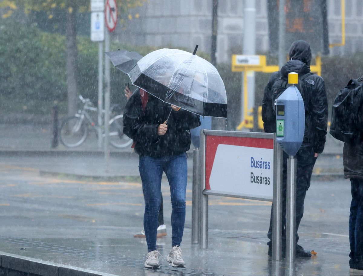
There will be bouts of heavy rain this week(Image: Collins)
Temperatures are set to plummet tonight while scattered blustery showers, some heavy, hit with isolated thunderstorms possible. Some of the showers will be a wintry mix of rain, hail, and sleet. Forecasters said temporary lying snow is possible.
Showers will also hit on Friday, some of the showers could be wintry at first but they will transition mostly to rain or hail through the morning, however, temperatures will dip to -1C in parts.
Alan O’Reilly from Carlow Weather wrote: “Turning much cooler as that main band of rain clears this evening with wintry showers overnight and early Friday along with risk of thunderstorms.”
Here is Met Éireann’s forecast for the next two days:
Thursday
Windy today, Thursday, with rain, heavy at times with spot flooding possible, spreading from the west and north-west, accompanied by fresh to strong and gusty southwest to west winds. The rain will gradually clear southeastwards this afternoon and it will turn colder with showers following. Some of the showers will turn wintry in the northwest this evening. Afternoon highs of 4C to 8C in the north and west, 9C to 12C further south and east.
Cold with clear spells and scattered blustery showers tonight, some heavy with isolated thunderstorms possible. Some of the showers will be a wintry mix of rain, hail, and sleet. Temporary lying snow is possible, mainly across parts of the northwest and about higher ground elsewhere. Lowest temperatures of 0C to 3C in fresh to strong and gusty southwesterly winds with gales along Atlantic coasts.
Friday
Cold and breezy with bright or sunny spells and scattered showers tomorrow, Friday, merging to longer spells of rain of at times. Some of the showers could be wintry at first but they’ll transition mostly to rain or hail through the morning. Isolated thunderstorms are also possible. Highest temperatures of 5C to 8C, but feeling chillier in mostly moderate to fresh and gusty westerly winds becoming west to northwest and easing later.
Showers will gradually become less frequent early on Friday night, becoming largely confined to Atlantic coastal counties with clear spells developing for a time. Cloud will increase from the Atlantic overnight with patchy rain and drizzle developing in western areas. Westerly winds will ease light to moderate and back southwesterly overnight. Lowest temperatures of -1C to +3C.
Want to see more stories from the Irish Mirror? Making us your preferred source on Google means you’ll get more of our exclusives, top stories and must-read content straight away. To add Irish Mirror as a preferred source, simply click here.