
Spring sprung very briefly as we have returned to wintry conditions all of a sudden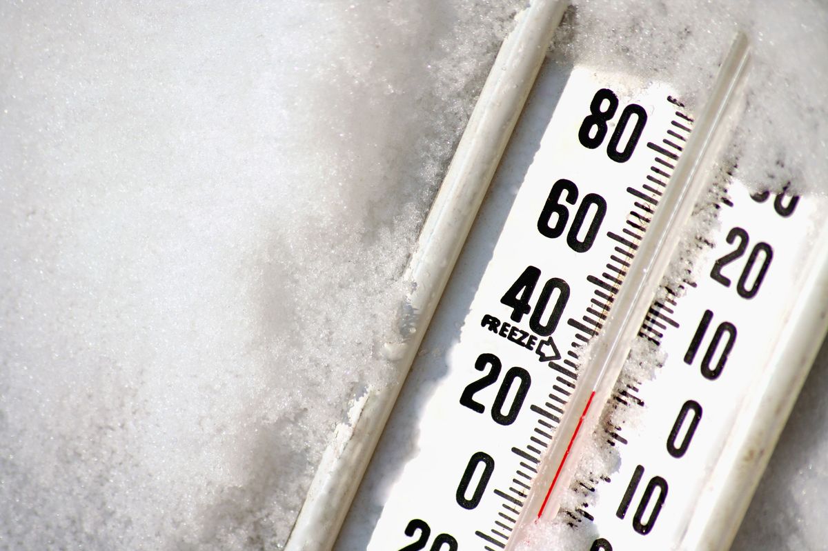
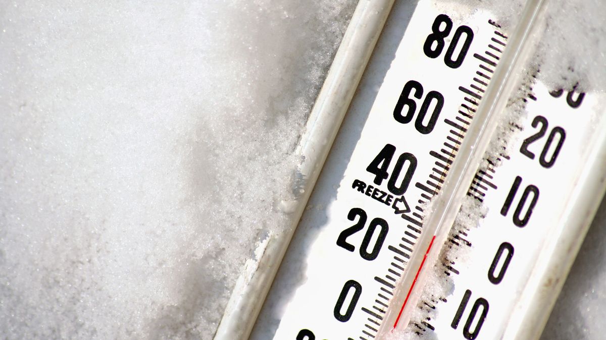
Temperatures will dip overnight(Image: Getty)
Temperatures are set to dip to a chilly -1C overnight, Met Éireann forecasters have warned.
Although Ireland enjoyed a few glorious days of sunshine last week, the national forecaster has said that some frost and icy patches could develop in places overnight on Wednesday as temperatures drop.
While the freezing temperatures will be short lived, Thursday will see scattered outbreaks of rain and drizzle, turning persistent into the afternoon and evening, but highs of 9C overnight.
Moving into the weekend, forecasters said some early rain on Friday would give way to sunshine and scattered showers, with a generally dry day on Saturday before wetter conditions following on Sunday.
Alan O’Reilly from Carlow Weather said that Wednesday would start off cold but strong winds would slowly ease over the evening.
He wrote: “A cold Wednesday morning with mix of early sunny spells and scattered showers. Some showers falling as sleet and snow on high ground. Feeling cold with the windchill in the strong wind, the wind will slowly ease through this evening and tonight.”
Here is Met Éireann’s Irish weather forecast for the coming days:
Wednesday
Wednesday will be cool and blustery with frequent showers. The showers may turn wintry over higher ground and with the chance of hail. Sunny spells between showers too though. Highest temperatures of 5C to 9C and feeling colder with an added wind chill factor. Fresh to strong and gusty northwesterly winds will moderate later.
Largely dry tonight under clearing skies and moderating westerly breezes. It will turn cloudier across western areas towards morning as patchy drizzle and mist develops. Lowest temperatures of -1C to +5C, coldest across Ulster and north Leinster, with frost and icy patches developing in places.
Thursday
Cloudy or overcast on Thursday with scattered outbreaks of rain and drizzle, turning persistent into the afternoon and evening. Some hill, mist and coastal fog too. Parts of Leinster and south-east Munster will stay largely dry. Highest temperatures of 8C to 11C. Light to moderate southwest breeze will increase moderate to fresh during the afternoon.
Cloudy with outbreaks of rain and drizzle. Hill, mist and coastal fog will occur too on Thursday night. A clearance will set in across northwest counties towards morning though. Lowest temperatures of 5C to 9C in moderate west to southwest winds.
Friday
Generally wet to begin. However, sunny spells and well-scattered showers will extend to remaining areas into the afternoon. The odd wintry shower will affect west and northwest during the evening. Breezy with moderate to fresh west to northwest winds. Highest temperatures of 8C to 11C.
Most areas will be dry and clear, outside of a few well scattered showers with isolated wintry showers on Friday night. Cold with some frost and ice. Lowest temperatures of 0C to 4C in a moderate north-west breeze.
Saturday
A bright and breezy day with sunshine and scattered showers. The showers will fade away across west and southwest areas through the afternoon and the rest of the country in the evening. Highest temperatures of 7C to 10C in a rather brisk north-west wind, making it feel quite cool. Cold and clear early on with some frost and ice. Turning wet and breezy later on Saturday night.
Sunday
Starting out wet and rather windy. While the rain will give way to more showery conditions later, it will remain fairly blustery with strong and gusty southwest winds veering westerly later.
Want to see more of the stories you love from the Irish Mirror? Making us your preferred source on Google means you’ll get more of our exclusives, top stories and must-read content straight away. To add Irish Mirror as a preferred source, simply click here.