
Easter weekend looks likely to be a washout across Ireland as the weather is set for a big change
15:02, 01 Apr 2026Updated 15:04, 01 Apr 2026
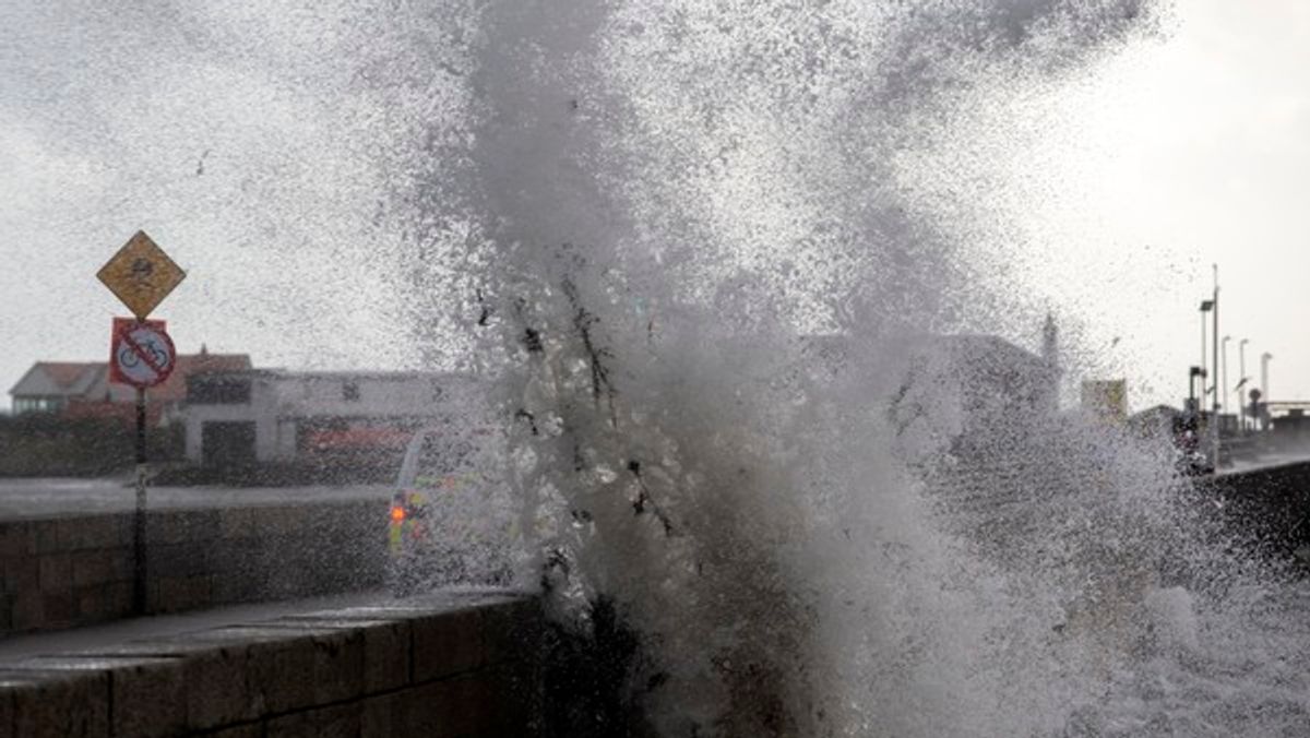
High tides in Clontarf in 2021 (stock image)(Image: Colin Keegan, Collins Dublin)
A weather advisory has been issued for Ireland over Easter as a “mobile Atlantic flow” is set for our shores.
The advisory is in place from midnight on Friday, April 3 through to midnight next Tuesday, April 7. It’s expected that Saturday will be the most impacted part of the weekend, heading into Sunday.
Met Eireann have said that weather warnings are “likely to be issued” in the coming days. They have also warned that there may be “high astronomical tides” with the weather.
Met Eireann’s full weather advisory:
Unsettled and mixed over Easter with a mobile Atlantic flow affecting Ireland. Windy or possibly stormy in places later Saturday.• Potential for some severe or damaging west to southwest gusts.• Coastal flooding is likely, especially around high tide times and in exposed, low-lying locations along the Atlantic coastal counties.• High astronomical tides (Spring Tides) coinciding with storm surge and persistent onshore winds will further increase the risk of coastal flooding. Areas along the west and north coasts are particularly vulnerable.• Strong onshore winds combined with high waves may lead to wave overtopping and flooding in low-lying and exposed coastal areas.• Warnings are likely to be issued. Stay updated via Met Éireann’s website, app and social media channels.
The Met Eireann forecast for Dublin over the Easter weekend reads:
Friday (Good Friday): Likely a windy day with fresh to strong west to southwest winds developing, bringing a chance of wave overtopping to western and northwestern coasts. Quite damp too, with outbreaks of rain and showers, and highest temperatures of 10 to 14 degrees.Friday night: Some clear spells and showers at first will give way to cloud and outbreaks of rain and drizzle extending from the southwest through the night. Lowest temperatures of 1 to 4 degrees in the north and 4 to 7 degrees in the south, all in mostly light south to southwest breezes.Saturday: Likely becoming a wet and windy day with strong and gusty southerly winds developing, alongside outbreaks of rain that will be heavy at times. Highest temperatures of 10 to 14 degrees.Sunday (Easter Sunday): Current indications show a cool and breezy day with sunny spells and showers, some of which could be heavy. Highest temperatures of 7 to 11 degrees with moderate to fresh southwesterly winds.Further outlook: There is uncertainty in the forecast, with current indications showing another spell of wet and windy weather on Monday.
Want to see more of the stories you love from Dublin Live? Making us your preferred source on Google means you’ll get more of our exclusives, top stories and must-read content straight away. To add Dublin Live as a preferred source, simply click here.
Join our Dublin Live breaking news service on WhatsApp. Click this link to receive your daily dose of Dublin Live content. We also treat our community members to special offers, promotions, and adverts from us and our partners. If you don’t like our community, you can check out any time you like. If you’re curious, you can read our Privacy Notice.
For all the latest news from Dublin and surrounding areas visit our homepage.