
Storm Dave is set to wreak havoc across Ireland today, with spells of heavy and persistent rainfall along with “severe gusts” set to batter the country into the early hours of Easter Sunday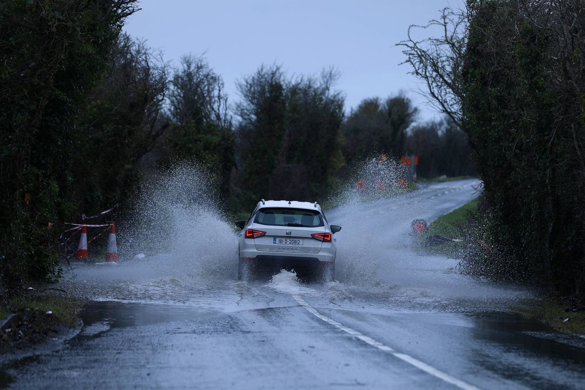
Generally rainy conditions will continue throughout the week(Image: Anadolu, Anadolu via Getty Images)
Met Eireann has issued a rain warning for two counties as Ireland is set for a very wet and windy Easter Bank Holiday weekend.
Storm Dave is forecast to unleash strong winds to the country on Saturday, with a status yellow wind warning in place for all counties from 1pm on Saturday to 2am on Easter Sunday, while a weather advisory issued by Met Éireann warning of windy and stormy weather for Ireland came into effect at 12am on Friday and will remain in place until 12am on Tuesday.
The Met Office has also issued a yellow wind warning for all counties in the North valid from 2pm on Saturday to 3am on Sunday.
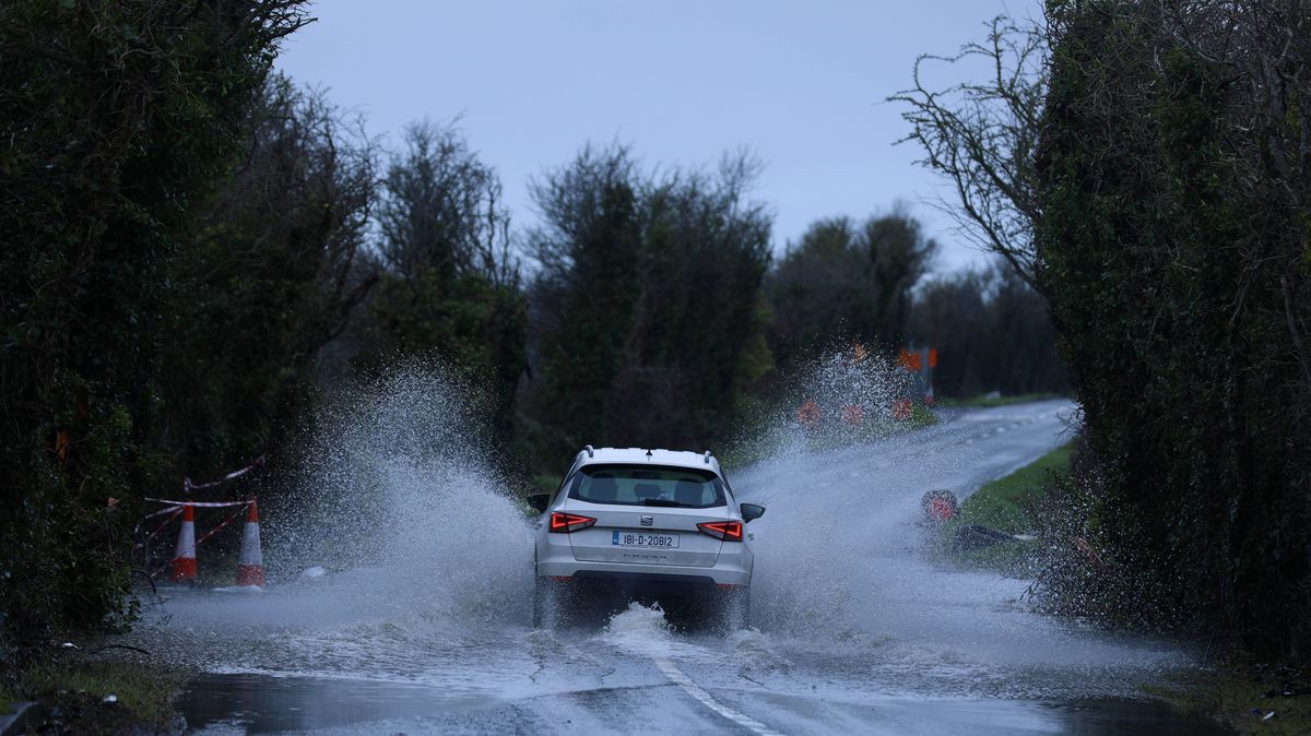
Now, the national forecaster has issued a Status Yellow rain warning for two counties, as spells of heavy and persistent rainfall are set to lash the country today.
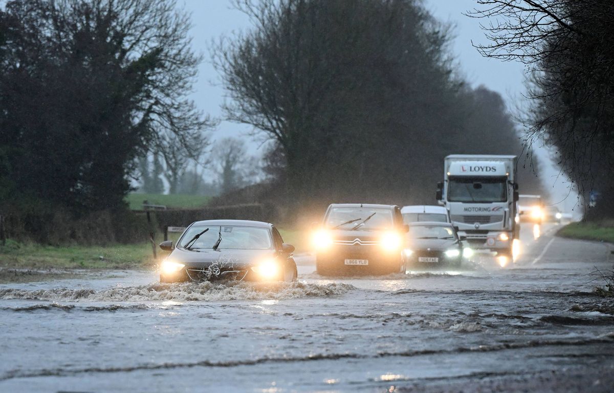
Two counties have been warned of flooding later today(Image: Charles McQuillan, Getty Images)
The Status Yellow rain warning has been issued for Mayo and Donegal, and came into effect at 8am on Saturday morning. The weather alert will remain in place until 4pm this afternoon, with Met Eireann warning that heavy and persistent rain downpours may lead to localised flooding, river flooding, poor visibility and difficult travel conditions.
The national forecaster has warned that Storm Dave will bring “very strong southerly winds, veering westerly by the evening with severe gusts and coastal gales”, with the national forecaster sounding the alarm over possible hazards such as fallen trees, big waves, difficult travel conditions and flying debris.
According to Alan O’Reilly of Carlow Weather, however, there is a risk of orange warnings the closer Storm Dave gets to making landfall, with counties in the northwest the most likely to be subject to an upgrade.
Delivering a video update on Friday morning, O’Reilly said that forecasting the path of the storm was “tricky” as it hadn’t taken shape at that stage.
There were, however, signs of very strong winds moving up through Ireland on Saturday afternoon, with a number of models suggesting winds of sufficient strength that could lead to orange warnings being issued for counties in the northwest heading into Saturday evening.
In their latest forecast, Met Eireann said Storm Dave will track near our west Atlantic coast today bringing very windy and wet weather. Southerly winds, veering southwesterly will strengthen to very strong and gusty throughout the day. Strong onshore winds, coinciding with high tide will increase the risk of wave overtopping and coastal flooding.
Outbreaks of rain and drizzle will move northwards throughout the morning. Over high ground in Ulster, there is a possibility that precipitation may fall as sleet or snow early on. More persistent and heavy rain will spread eastwards across the country through the afternoon, with spot flooding possible. A clearance to scattered showers will develop later in the evening, with highest temperatures of 9C to 12C.
it will remain windy at first tonight with clear spells and scattered showers, with the chance of hail or sleet on higher ground. A cold night is expected with lowest temperatures of 0C to 4C in moderate to fresh southwest winds, gradually veering westerly and easing overnight, but staying strong along Atlantic coasts.
Want to see more from the Irish Mirror? Making us your preferred source on Google means you’ll get more of our exclusives, top stories and must-read content straight away. To add Irish Mirror as a preferred source, simply click here.