
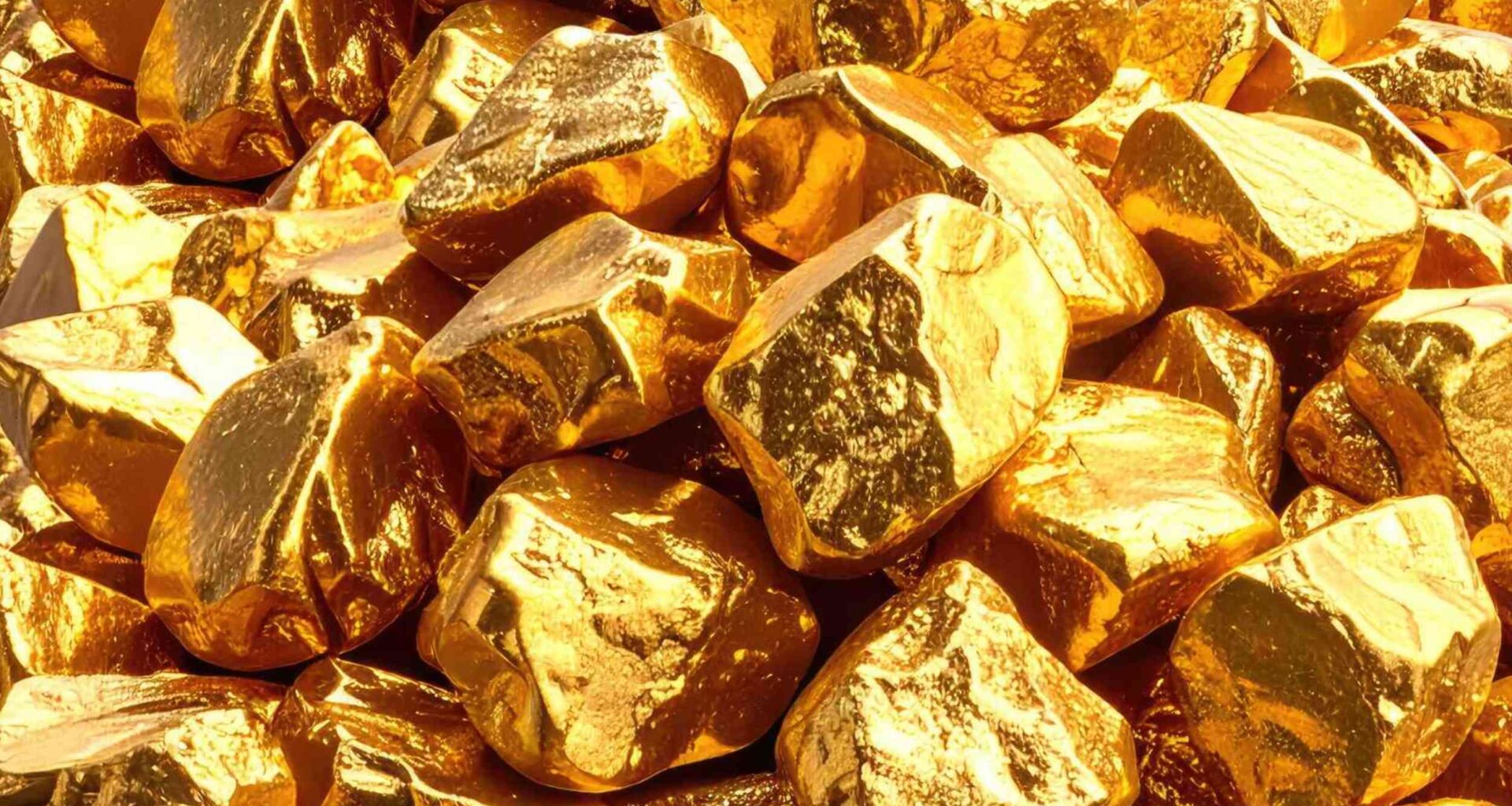
A new analysis has revealed that unusually large gold grains found in southeast Scotland originate from nearby, previously unrecognized sources hidden within the surrounding landscape.
By narrowing the search to within a few miles of where the grains were recovered, the finding redirects attention toward local rock systems that may hold undiscovered deposits.
Gold grains in Scotland

Along the Whiteadder River, a river in Scotland’s southeast border country, pans yielded coarse gold particles rather than the fine flakes typical of long-traveled material.
By comparing grains from two nearby streams, Abdulkadir Mohamed Abdulkadir of University College London (UCL) demonstrated that both sets shared matching shapes and chemical signatures tied to a common local origin.
That consistency showed the particles had not been carried far, preserving clear traces of where they formed instead of mixing signals from distant sources.
The result confines the search to a limited area, where multiple hidden sources may still be contributing gold into the same waterways.
Earlier hints returned
Decades earlier, a report from the British Geological Survey, Britain’s earth science agency, had mapped gold around Duns, a small town in southeast Scotland.
Around Duns, excavations found rock changed by hot mineral-rich fluids, and some samples reached five parts per million gold.
Farther west, geologists tied mineralized ground to the Whiteadder Lineament, a major fault trend that could have opened paths for magma and metal-rich fluids.
A 1998 survey of 1,794 grains from 55 sites around Leadhills, a historic Scottish gold district, hit the same wall, rich stream clues but no obvious bedrock source.
Reading the grains
Modern source hunting works because detrital gold, loose grains eroded from bedrock, keeps much of its identity after streams move it.
As a particle travels, its edges round off and flatten, so shape acts as a rough clock for transport distance.
Mineral specks trapped inside the gold, plus the mix of gold and silver in the alloy, preserve a partial fingerprint.
Those clues rarely name one exact crack in the ground, but they can rule out huge areas and sharpen the search.
A tighter search
Earlier panning across about 77 square miles had singled out only two sites in the Duns area.
At those spots, each pan yielded about 30 to 71 particles, and some pieces reached nearly one-tenth of an inch.
Shape measurements suggested one source lay within about 3.1 miles and the other within about 4.7 miles.
Long river transport looked unlikely, pushing attention back to faults, nearby magma bodies, and altered sedimentary rocks.
Red bed traces
One part of the sample carried the pattern of red bed gold, a style linked to oxidized sedimentary rocks.
Several grains were about 99 percent gold, and a few also held palladium and mercury, an unusual combination.
Branching and blocky forms fit crystals that grew in place and were not battered long in a stream.
That signature explained only a minority of the Duns gold, so another source had to feed the creeks.
Magma in cracks
Road work above one stream exposed more than 650 feet of hard igneous rock cut by a stockwork, a dense web of mineralized cracks.
Gold collected just below that structure carried bismuth and tellurium together, a pairing often tied to magma-related systems.
Channel samples from the exposed rock held low gold values, and 12 tiny grains from the stockwork were set aside.
The outcrop still matters because it points to a nearby magmatic source, even without proof of a rich deposit.
Mud that held gold
Most particles instead matched orogenic gold, gold formed when mountain building squeezed hot fluids through rock.
Many grains carried silver levels that fit that model, and nearby black shale, dark organic-rich mudrock, could have trapped gold and arsenic early on.
Later burial, heating, and deformation may have released that hidden metal into fluids that concentrated it in fractures and veins.
That mechanism best explains most of the Duns gold and ties the find to the region’s deep history of mountain building.
More than one source
Evidence from the grains pointed to a mixture rather than one neat deposit type beneath the landscape.
About 55 percent of the Duns particles fit the black-shale-linked orogenic model, while about 45 percent resembled red bed gold.
A third clue, bismuth-tellurium inclusions below the stockwork, suggested nearby magma bodies also contributed some material.
One stream pan can blend signals from several hidden sources and make the geology look simpler than it is.
Why gold grains in Scotland matter
The study narrowed a vague target and showed where future sampling could start.
Because hidden deposits rarely announce themselves at the surface, durable stream gold can guide geologists before ore becomes visible.
Researchers also proposed testing pyrite, a common iron sulfide mineral, in local black shales for unusually high gold and arsenic.
Until that work happens, the new Scottish trail stands as a strong lead rather than a final verdict.
What comes next
Small river grains, old survey maps, and exposed rock now point to a local cluster of hidden sources instead of one far-traveled mystery.
Further progress will likely come from testing black shales directly and probing faulted ground cut by magma bodies within a few miles of the streams.
The study is published in The Scottish Journal of Geology.
—–
Like what you read? Subscribe to our newsletter for engaging articles, exclusive content, and the latest updates.
Check us out on EarthSnap, a free app brought to you by Eric Ralls and Earth.com.
—–