
Ireland could soon see the warmest spell of 2026 so far
18:31, 14 May 2026Updated 18:37, 14 May 2026
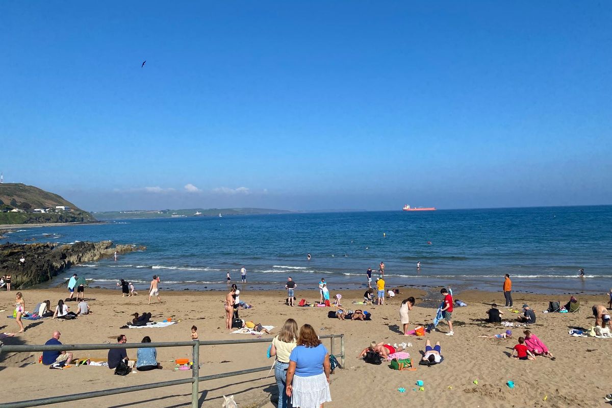
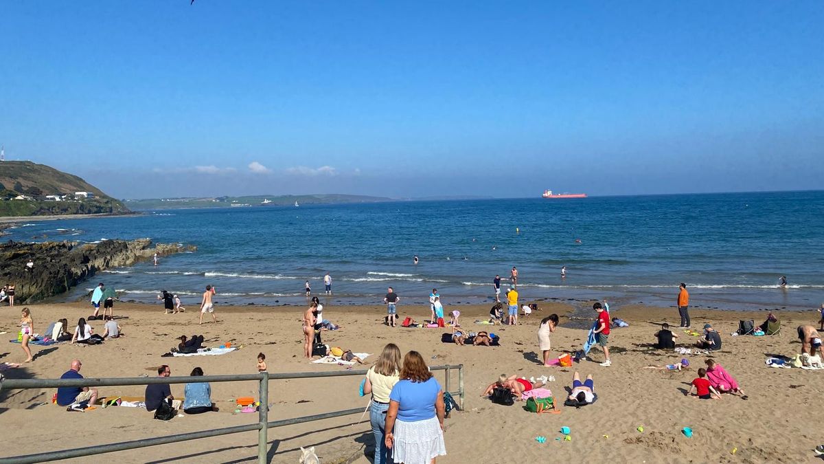
Myrtleville in the sunshine(Image: Sara Rountree)
We’re almost halfway through May, and for many Irish households, summer can’t come quickly enough with the perfect season for beaches and beer gardens nears. While June is still more than two weeks away, the good weather could yet come early, with Met Éireann pinpointing dates for a potential ‘mini-heatwave.’
After weeks of grey skies and mild weather, it looks like we could finally see temperatures break the 20°C mark, as the latest Met Éireann forecasts indicate a shift towards brighter conditions later this month. The national forecaster has signalled that high pressure will begin building close to Ireland over the coming weeks. During the summer, high pressure is usually associated with warmer, sunnier and drier weather
It’s good news for us here in Cork, as the forecasts predict that these high-pressure systems will largely affect the south of Ireland. So while Rebels are basking in the sunshine, those living further up the country could be stuck dealing with the same overcast conditions we’ve had these last few weeks.
In an overview published this week covering May 18 to May 23, a Met Éireann spokesperson said: “Currently, there are signals for high pressure to build south of Ireland.”
“Consequently, the driest conditions would be expected further south, where rainfall amounts are expected to be normal. Elsewhere, rainfall amounts are expected to be slightly above average. Temperatures are expected to be close to normal for most, but slightly above further south.”
The outlook becomes even more promising heading into the final week of May, from Monday, May 25, to Sunday, May 31.
The statement continued: “Current indications are that high pressure will increase its influence over the weather. Rainfall amounts are expected to be slightly below average while temperatures are expected to be close to seasonal norms.”
Another promising indication is that long-range weather maps – which are admittedly subject to change when forecasting this far ahead – are beginning to support the idea of a mini-heatwave, with some models suggesting extended spells of 20°C+ weather.
Weather models from Netweather.tv suggest that warmer conditions could begin to develop from next Tuesday, with current forecasts predicting a high of 18°C. The following days then show temperatures climbing further, with highs of 20C possible on both Wednesday and Thursday before easing slightly to 19C on Friday. Current projections suggest temperatures could then rise back to 20C on Saturday, before peaking at around 21C next Sunday.
The warm spell may not end there as early indications for the following week continue to point towards unusually warm conditions for late May, with current models showing highs of 20C on Monday, May 25, followed by temperatures of around 19C on Tuesday and Wednesday, before potentially climbing back to 21C by Thursday, May 28.
If these forecasts prove accurate, Ireland could be set for its hottest spell of 2026 so far, with a potential mini heatwave lasting for up to 10 days. However, it looks like we’ll need to endure some more unsettled weather over the coming days before we get to enjoy the sunshine.
“Generally, the rest of this week will be a little more unsettled and cooler than normal for this time of year,” the Met Éireann spokesperson said.