
Met Eireann has forecast rising temperatures and weeks of settled weather, fuelling hopes of Ireland’s warmest spell of 2026 so far.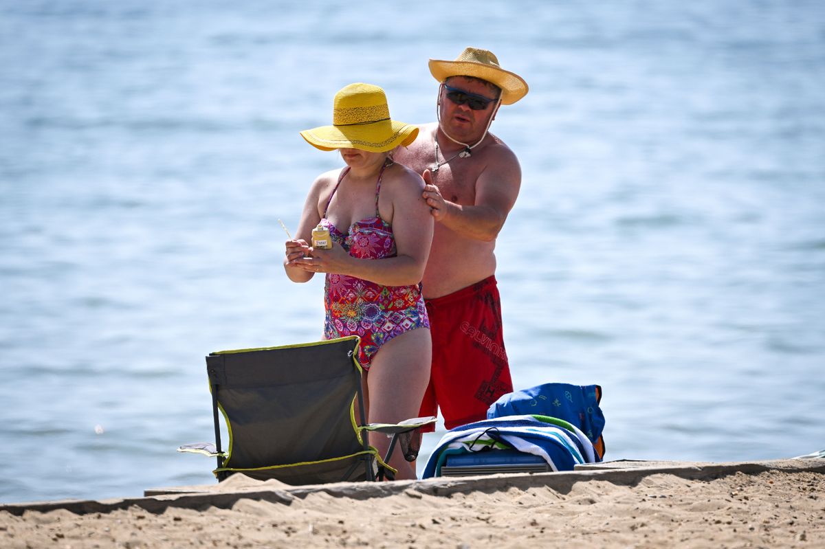
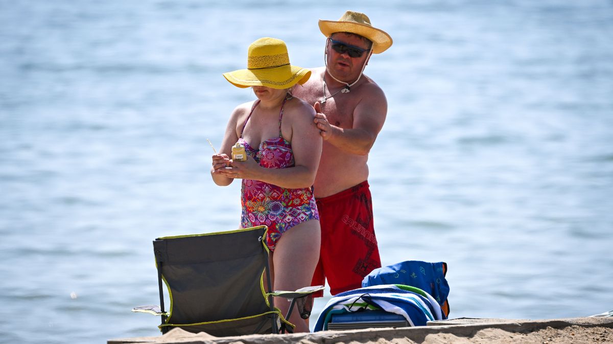
Temperatures are forecast to reach the mid 20s next week(Image: Getty Images)
After what has felt like an endless stretch of grey skies, chilly temperatures and rain, Ireland’s weather is finally about to take a dramatic turn for the better.
Fresh forecasts from Met Eireann have sparked growing hopes that the country could soon experience its warmest spell of 2026 so far, with temperatures expected to climb steadily over the coming days before potentially reaching the mid 20s next week.
And the good news doesn’t stop there, as long range weather models suggest that settled weather could potentially last well into June.
The national forecaster says high pressure is set to build close to Ireland later this week. During the summer, high pressure is usually associated with warmer, sunnier and drier weather – a welcome change from the cool, damp and unsettled conditions often brought by low pressure systems.
According to Met Eireann, temperatures will begin rising noticeably from Thursday, with highs of 19C expected before climbing further to around 20C on Friday, Saturday and Sunday.
However, next week is when the weather starts to look especially interesting. The meteorological service said: “Temperatures will continue to rise into next week, possibly reaching the mid-twenties at times, with some good sunshine, but also some showers or spells of rain.”
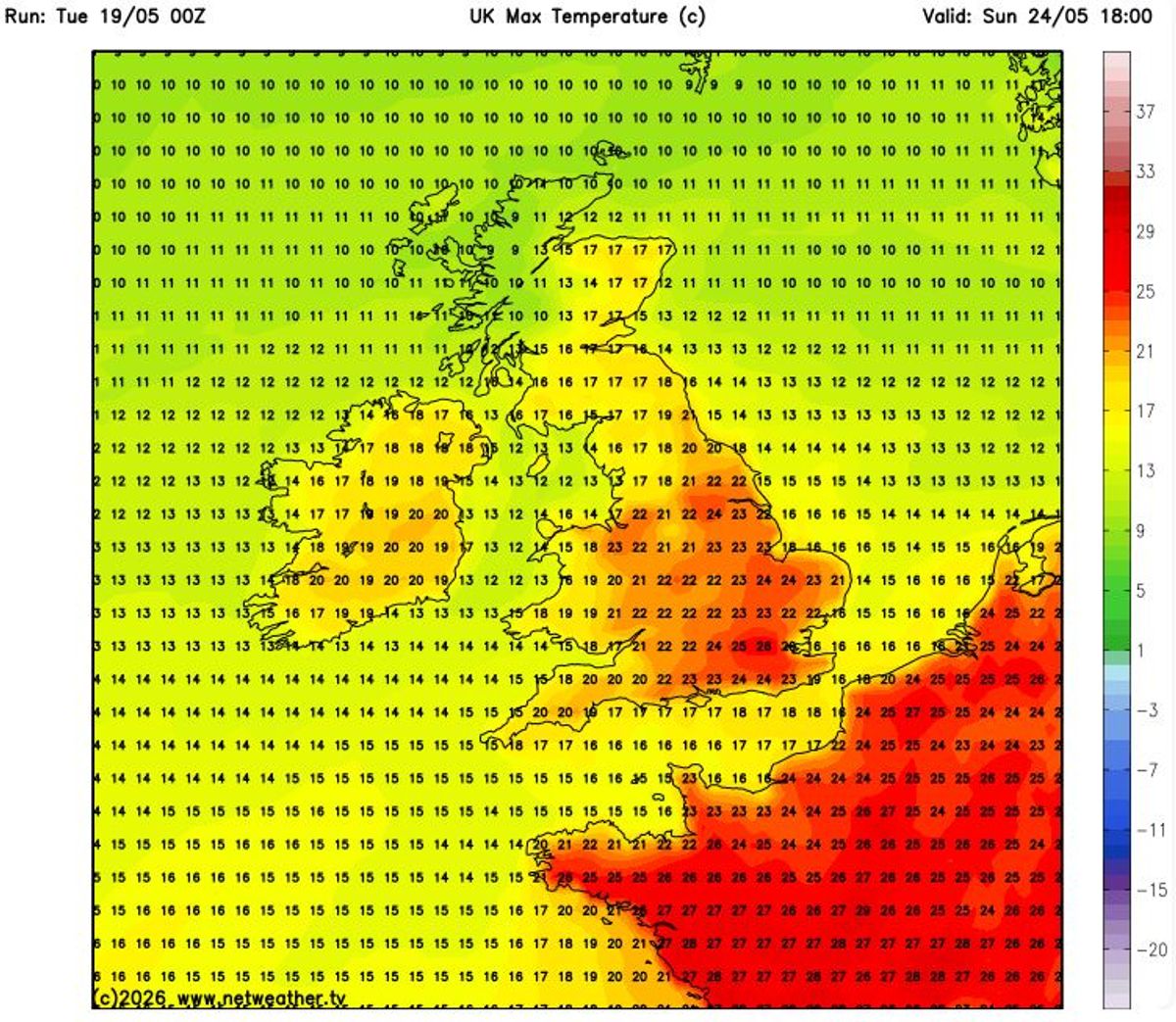
Warmer weather is on the way(Image: Netweather.tv)
While it may still be too early to say whether Ireland will officially experience its first proper heatwave of 2026, the latest forecast has raised hopes of the warmest and most prolonged spell of sunshine seen so far this year.
Heatwaves are often defined as five days of consecutive above average temperatures, but Met Eireann previously told the Irish Mirror: “That is a working definition used by some other met offices, but the Met Eireann definition of a heatwave is five consecutive days of temperatures above 25C.”
That means Ireland would need at least five straight days with temperatures exceeding 25C to officially qualify as a heatwave.
And there are increasing signs that the improving weather may not be short lived. In an encouraging update for anyone hoping for a proper start to summer, Met Eireann’s extended range forecast indicates that high pressure could dominate Ireland’s weather for the next four weeks.
That could bring warmer than average temperatures nationwide along with below average rain and significantly more settled conditions.
For the period between May 25 and May 31, Met Eireann said: “High pressure will dominate our weather during week 1, bringing settled conditions with largely dry weather and sunshine. It will be warmer than average nationwide with rainfall amounts below average for all areas also.”
Looking ahead to the first week of June, it added: “Current indications suggest that high pressure will remain the dominant driver of our weather during week 2. Settled conditions will continue as a result with warmer and drier than average conditions nationwide.”
For the week beginning June 8, the national forecaster stated: “Uncertainty increases in week 3 but current indications suggest that high pressure will remain nearby with generally settled conditions. It will stay warmer than average nationwide. While some showers or spells of rain cannot be ruled out, rainfall amounts will remain below average across the country.”
And for the period between June 15 and June 21, Met Eireann said: “Confidence is low in week 4 but there is a signal for continued high pressure and settled weather across Ireland. There may be some spells of rain or showers but rainfall amounts will be close to or slightly below average. Temperatures will stay above normal.”
Subscribe to our newsletter for the latest news from the Irish Mirror direct to your inbox: Sign up here.