
In its latest national weather outlook, Met Eireann confirmed “temperatures will continue to trend upwards”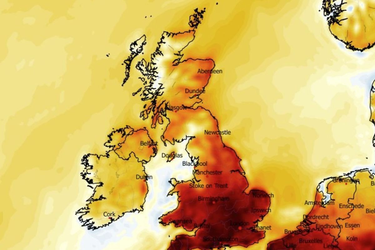
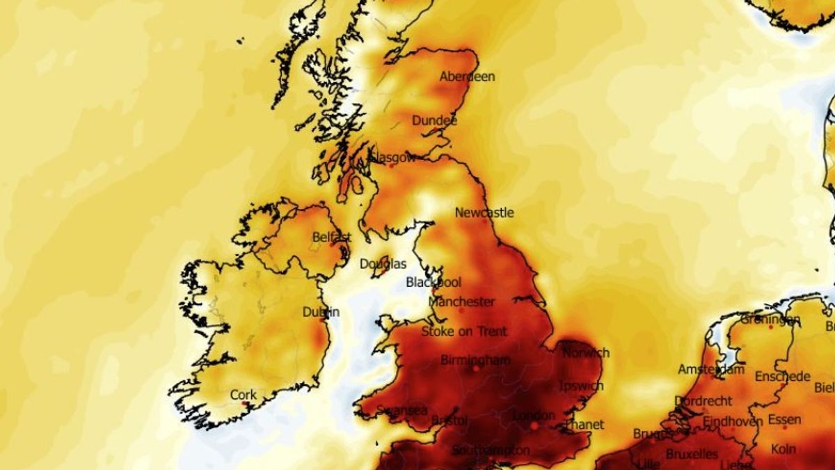
It’s set to heat up this coming weekend, according to weather experts. (Image: WXCharts.com)
People living in certain parts of Ireland will feel like they have been transported to Mediterranean this weekend when warmer than average temperatures sweep across the country.
Newly released weather maps from WXCharts.com show deep red for parts of the country on Saturday, which means temperatures well in excess of 20°C.
And while the temperatures across Ireland will be above the May average, people travelling to parts of Spain and Portugal this weekend can expect the mercury to reach an almost sweltering 40°C.
Irish weather expert, Alan O’Reilly, of Carlow Weather, told his 157,000 followers on X that this weekend would feel significantly warmer than usual.
“The colder air is pulling away and warmer air is slowly moving towards us with over 20c for weekend and early next week,” said Alan.
“We still have more rain to come tonight and Thursday with some showers on Friday but the weekend and early next week look mainly dry. If you are heading to Spain or Portugal some parts there will see up to 38c,” he added.
In its latest national weather outlook, Met Eireann confirmed “temperatures will continue to trend upwards”.
Track the temperature below:
Met Eireann National Outlook:
Overview: Temperatures will continue to trend upwards with warm or very warm conditions. High pressure will bring mostly dry and settled weather too. Sea fog may impinge in some areas however.
Friday night: Any lingering showers will die out early on Friday night with a dry and cloudy night following. Mist and fog may set in though, especially for southeast counties. Lowest temperatures 9 to 12 degrees, in just light southwest or variable breezes.
Saturday: Dry with warm sunny spells developing, and no more than moderate southwest breezes. Highest temperatures of 17 to 21 degrees generally, though it will be a little cooler in some coastal fringes.
Sunday: Similarly, it will be another warm day with spells of sunshine. However, cloudier skies will build in parts too. Highest temperatures of 18 to 22 degrees, in just light southerly or variable breezes.
Early Next Week: High pressure looks set to dominate into early next week, bringing a continuation of the mostly settled spell with warm or very warm feeding up across the country, on a southeast continental airflow.
Met Eireann extended forecast:
Week 1 – Monday 25th May to Sunday 31st May
High pressure will dominate our weather during week 1, bringing settled conditions with largely dry weather and
sunshine. It will be warmer than average nationwide with rainfall amounts below average for all areas also.
Week 2 – Monday 01st June to Sunday 07th June
Current indications suggest that high pressure will remain the dominant driver of our weather during week 2.
Settled conditions will continue as a result with warmer and drier than average conditions nationwide.
Week 3 – Monday 08th June to Sunday 14th June
Uncertainty increases in week 3 but current indications suggest that high pressure will remain nearby with
generally settled conditions. It will stay warmer than average nationwide. While some showers or spells of rain
cannot be ruled out, rainfall amounts will remain below average across the country.
Week 4 – Monday 15th June to Sunday 21st June
Confidence is low in week 4 but there is a signal for continued high pressure and settled weather across Ireland.
There may be some spells of rain or showers but rainfall amounts will be close to or slightly below average.
Temperatures will stay above normal.
Subscribe to our newsletter for the latest news from the Irish Mirror direct to your inbox: Sign up here.