
It feels safe to assume that a sharper weather model must be a more accurate one. Today’s global models are the sharpest ever built.
They are fine enough to pick out a single storm where older versions saw only a vague gray smudge across the map.

A research team tested six of the most advanced weather models against a record-breaking flood season. They all missed the storms in the same four ways.
Sharper than ever before
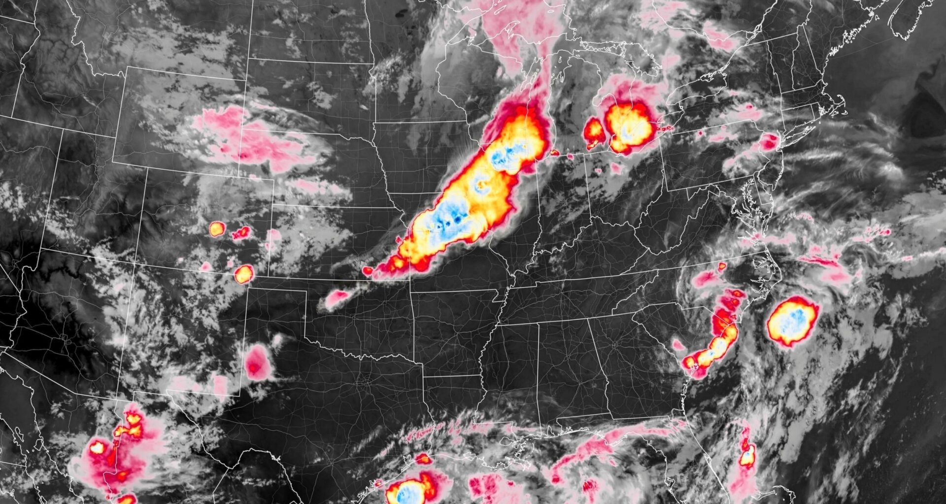
Storms that do the worst damage are rarely lone thunderstorms.
They gang up into sprawling clusters – mesoscale convective systems – that a review ties to most of the world’s worst flooding, damaging winds, and record rain.
Older models spread only about 10,000 grid cells across the globe. A storm spanning hundreds of miles fell on a few blocky squares.
To compensate for storms they could not fully resolve, those models relied on simplified rules of thumb, producing too much light rain while missing the most intense downpours.
A new generation, called kilometer-scale models, slices the globe into over 50 million cells – fine enough to make out features as small as about 1.7 miles.
Xiaotong Huang, a graduate researcher at the Chinese Academy of Meteorological Sciences (CAMS), led the team that ran six of these models against the 2020 storms.
Weather models meet a record flood
That exam came in the summer of 2020, when relentless rain swamped East Asia. Ten Chinese provinces flooded.
Parts of Japan saw about 39 inches of rain in three days. South Korea’s rainy season ran 54 days instead of the usual 32 days.
In a worldwide modeling effort in 2025, several of the new weather models were each run for a full year – enough to cover the whole 2020 wet season.
The models came from leading weather and climate centers in Europe, Asia, and North America – each with its own design.
Huang’s team checked them against satellite observations of the real storms – where rain fell, how big each system grew, and how long it lasted.
The big picture
Much of the news was reassuring. Across the board, the models placed the rain roughly where it belonged and moved the storms at close to the right speed and duration.
“These models mostly get the big picture right,” said Huang. They also caught the daily rhythm of these storms – the regular cycle of when they flare up and fade.
Most models even tracked one of the region’s signature patterns – storms forming near the Tibetan Plateau and marching eastward across China for hours.
The fact that this new generation of models could reproduce so much of the observed behavior was an encouraging sign for their developers.
Four shared blind spots
Surprises showed up when the team lined up the errors. Every model missed in the same four directions at once – a pattern no one had confirmed across so many leading models.
Each one conjured too many storm clusters, mostly flimsy systems that fizzled fast.
Real storms lasted longer and stayed organized, while the models produced a larger number of shorter-lived systems.
On top of that, each simulated storm covered too little ground, cramming its rain into a patch smaller than the real one.
Inside that core, the rain fell harder than the satellites ever recorded.
Each weather model had one strength
Despite the shared blind spots, the models were not identical, and each had a strong suit.
The European center’s model drew the most realistic map of where the heaviest rain landed, matching the real geography best.
A Japanese model came closest on storm size, getting each system’s sprawl about right where others shrank it too far.
The strongest U.S. entry best captured a subtler contrast – how rain differs over land and over open ocean.
No single model won outright. Each got a piece of the puzzle right while carrying the same core weakness – a hint that the fix lies deep in the way they all build a storm, not in one model’s tweak.
A clear target for better forecasts
The stakes are not hypothetical. In late May 2026, torrential rain hammered the lower Yangtze River basin in eastern China, and authorities issued the year’s first red alert for flash floods.
These storm clusters are not staying put, either. An earlier study from the same group found their rain has grown more frequent and intense over two decades.
For the first time across so many leading models, the field knows exactly where they fail on the storms that do real harm.
That hands developers a clear target and pushes these year-long simulations toward a tool forecasters and flood planners can rely on.
The study is published in Advances in Atmospheric Sciences.
—–
Like what you read? Subscribe to our newsletter for engaging articles, exclusive content, and the latest updates.
Check us out on EarthSnap, a free app brought to you by Eric Ralls and Earth.com.
—–