
Met Eireann has put a weather advisory in place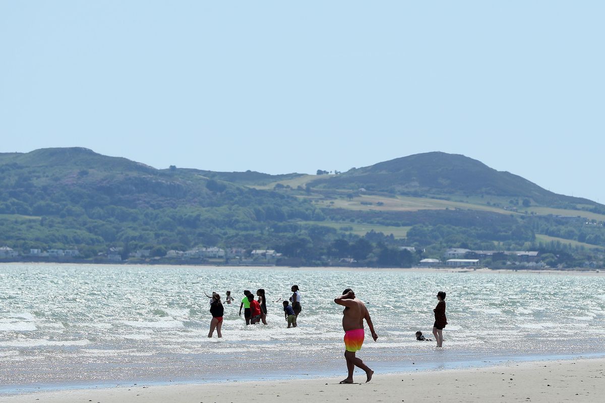
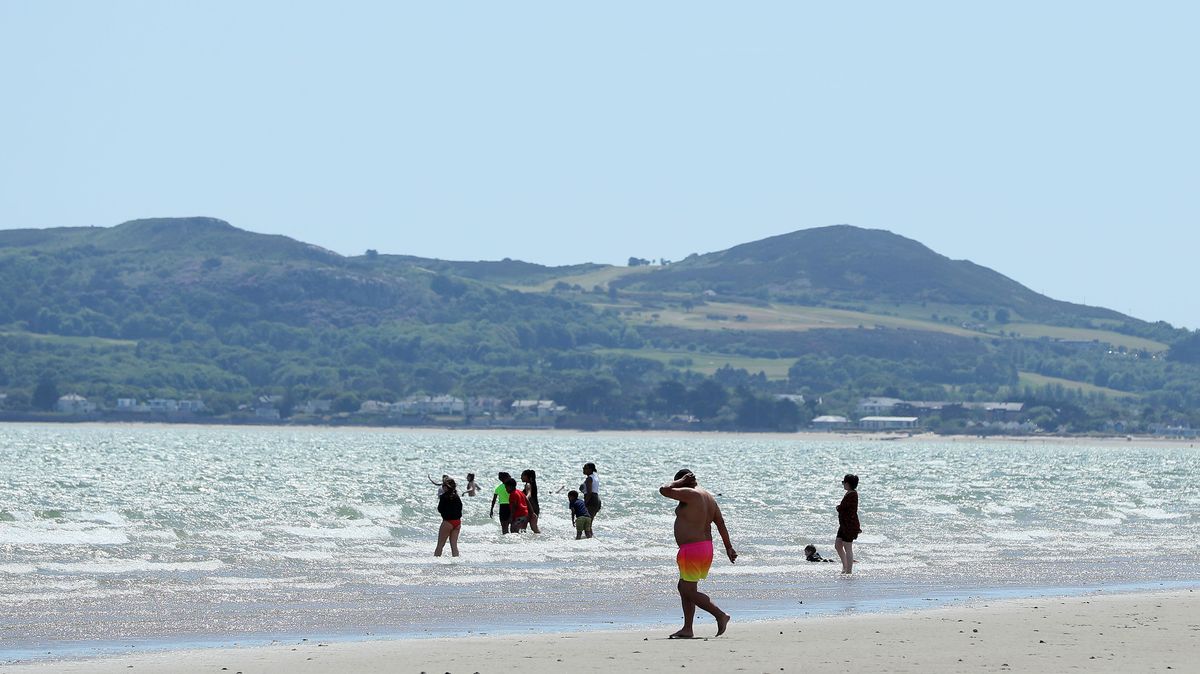
People on Portmarnock Beach, Dublin(Image: Brian Lawless/PA Wire)
Ireland is set for some scorching temperatures over the coming days as another heatwave hits the country.
Met Éireann forecasters have promised the weather will continue to get hotter as the week progresses, hitting highs of 30C on Saturday and Sunday, with no rain forecast for the rest of the week.
Alan O’Reilly from Carlow Weather told followers Wednesday would see temperatures hit 28C with weather models showing the heatwave continuing into next week and no rain for seven to 10 days.
He said in a video update: “Wednesday will start off very cloudy with some fog and mist and even some drizzle in the northwest. The southeast will see the best of the sunshine, but by late afternoon, that sunshine will be extending to many more areas, but it will be stubborn cloud, I’m afraid, for many areas on Wednesday morning, early afternoon – so you’ll have to be patient.

Grace Hewitt from Australia, James and Anne Kavanagh from Dublin enjoying the sunny weather at the Forty Foot in Seapoint, Dublin. (Image: Sam Boal/Collins Photos)
“Getting up to 28C again in the southeast, but not as warm, obviously, further west. The good news is for those who don’t like the heat, the temperatures will drop back quite a bit at night, so tonight will get down to 12C or 13C, so if you have the windows open, it should cool down the houses nicely.
“This heatwave is going to continue through the rest of the week and into the weekend, into the early days of next week, and some of the weather models keep it going into much of next week, and still at the moment no sign of rain on most weather models for seven to 10 days.”
Here is the weather forecast for the rest of this week:
Wednesday
Rather cloudy to begin across Atlantic counties with drizzle on northwest fringes, patches of mist and fog in places too. However, sunnier skies will develop widely as low cloud burns away. Another very warm or hot day for the Midlands, South and East with highest temperatures of 23C to 29C. Highs will range 18C to 24C elsewhere, warmest inland with low cloud and mist lingering along coastal fringes till later.
Generally dry again tonight with clear spells, though mist and coastal fog will develop in parts. Rather warm and humid; lowest temperatures of 12C to 16C, in a light southwest or variable breeze.
Thursday
A similar day for Thursday. Very warm or hot, as well as mostly sunny across the Midlands, South and East with highs of 24C to 28C. Cloudier to begin elsewhere with perhaps the odd spot of drizzle. Mist and fog in places to begin too, though tending to burn off. Highest temperatures of 18C to 25C, warmest away from coasts.
Very mild and humid with temperatures holding between 13C and 17C on Thursday night. Some mist or fog for west and northwest areas, otherwise dry with clear spells and just light northerly or variable breezes.
Friday
Very warm or hot on Friday, though cooler for northern fringes, with somewhat cloudier skies across west and northwest counties and isolated showers. Dry elsewhere with summer sunshine, hazy at times. Top temperatures of 21C to 30C (ranging north to south) with just light northerly breezes.
Saturday
Very warm or hot, but cooler for northern fringes. Overall sunny with moderate northeast breezes. Top temperatures of 18C to 30C (ranging north to south).
Subscribe to our newsletter for the latest news from the Irish Mirror direct to your inbox: Sign up here.