
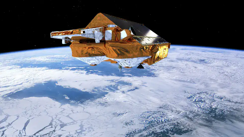
 The European Space Agency’s CryoSat-2 satellite monitors subtle changes in ice sheet thickness in Antarctica and Greenland. Credit: ESA/AOES Medialab
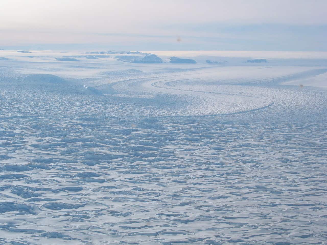
Antarctica is often thought of as a frozen desert — a vast, uninhabited landmass locked in ice. In the interior, the mean annual temperature is a bone-chilling –43.5 °C (–46.3 °F). Even in its “warmest” regions, averages hover around –10 °C (14 °F). It’s a place where almost everything is frozen solid.
Almost.
Deep beneath nearly a mile of Antarctic ice lies a secret network of lakes, hidden under a thick layer of ice. Once thought to be static, these subglacial lakes are proving to be surprisingly dynamic.
“It was fascinating to discover that the subglacial lake areas can change during different filling or draining cycles,” said Anna Hogg, professor of Earth observation at the University of Leeds, in a statement released by the European Space Agency.
The findings, published in Nature Communications on September 19, 2025, challenge long-held assumptions about what happens at the bottom of the world’s largest ice sheet. And they may hold crucial clues to the future of global sea levels.
Satellites Detect the Pulse Beneath Antarctica
 David Glacier, Antarctica. Image via Wiki Commons.
To uncover these lakes, scientists relied on a decade of data from the European Space Agency’s CryoSat-2 satellite, launched in 2010. Equipped with a radar altimeter, CryoSat-2 can detect even centimeter-scale changes in the elevation of the Antarctic ice sheet.
These tiny vertical shifts signal when subglacial lakes fill with meltwater or suddenly drain. Between 2010 and 2020, the satellite tracked these subtle changes across 43% of Antarctica’s surface, identifying dozens of spots where the ice rose or sank.
“Only 36 complete cycles, from the start of subglacial filling through to the end of draining, had been observed worldwide before our study,” said Sally Wilson, the study’s lead author and a doctoral researcher at the University of Leeds. “We observed 12 more complete fill-drain events, bringing the total to 48.”
These lakes form when geothermal heat and friction from ice movement melt ice at the bedrock. Meltwater collects in depressions and cavities, sometimes pooling for years before flowing away, creating a hidden plumbing system beneath the ice sheet.
A Subglacial Network
 Artistic depiction of Vostok Lake, one of the most famous subsurface lakes in Antarctica. This lake was known before the study and was explored in several studies.
Some lakes were found in clusters, hinting at vast, interconnected networks of hidden waterways. Five such networks were identified in this study. In these systems, upstream lakes were seen draining while downstream lakes filled, forming a sort of slow-motion cascade beneath the ice, an active water circulation system that’s remarkably active.
“This shows that Antarctic subglacial hydrology is much more dynamic than previously thought,” said Hogg. “We must continue to monitor these lakes as they evolve in the future.”
One striking example lies under David Glacier in East Antarctica, where a lake known as David_180 drained while another, David_80, began to fill 100 km downstream. Whether water directly flows between them remains uncertain, but the connection is likely.
“Subglacial hydrology is a missing piece in many ice sheet models,” Wilson said. “By mapping where and when these lakes are active, we can start to quantify their impact on ice dynamics and improve projections of future sea level rise.”
The Bigger Picture
 A map of Antarctica showing the locations of 85 newly discovered “active” subglacial lakes (red triangles). The area shaded in pink is where Cryosat-2 collected data between 2010 and 2020. Credit: ESA
Antarctica holds over 700 known subglacial lakes, but most are still poorly studied. Until now, scientists had records of just 36 complete drain-refill cycles. This new research increases the tally to 48. It’s progress, but still only scratching the surface of a vast and dynamic system.
Some lakes revealed dramatic transformations. Cook West_67, for example, released a stunning 1.3 cubic kilometers of water between 2012 and 2016, roughly enough to fill half a million Olympic swimming pools. Others, like Lambert_84, slowly accumulated massive volumes, swelling by 2.5 cubic kilometers from 2015 to 2017. Events like these cause the overlying ice to rise or sink by several meters, which can in turn accelerate glacial flow into the ocean.
Most concerning are the six active lakes within 8 km of the grounding line — the critical zone where the ice sheet transitions into a floating ice shelf. Drainage events here can destabilize ice shelves and speed up sea level rise.
“Retreating grounding lines may also influence the timing or frequency of subglacial drainage events,” the authors note in the study, “as small changes in surface slope… have the potential to trigger and sustain subglacial lake drainage.”
For now, one thing is clear: Antarctica’s hidden lakes are not silent reservoirs trapped in ice. They are alive and active, pulsing with water in ways that could reshape the future of our oceans.
“The numerical models we currently use to project the contribution of entire ice sheets to sea level rise do not include subglacial hydrology,” said Wilson. “These new datasets… will be used to develop our understanding of the processes driving water flow beneath Antarctica.”