
A weather expert has shared an update on the risk of stormy conditions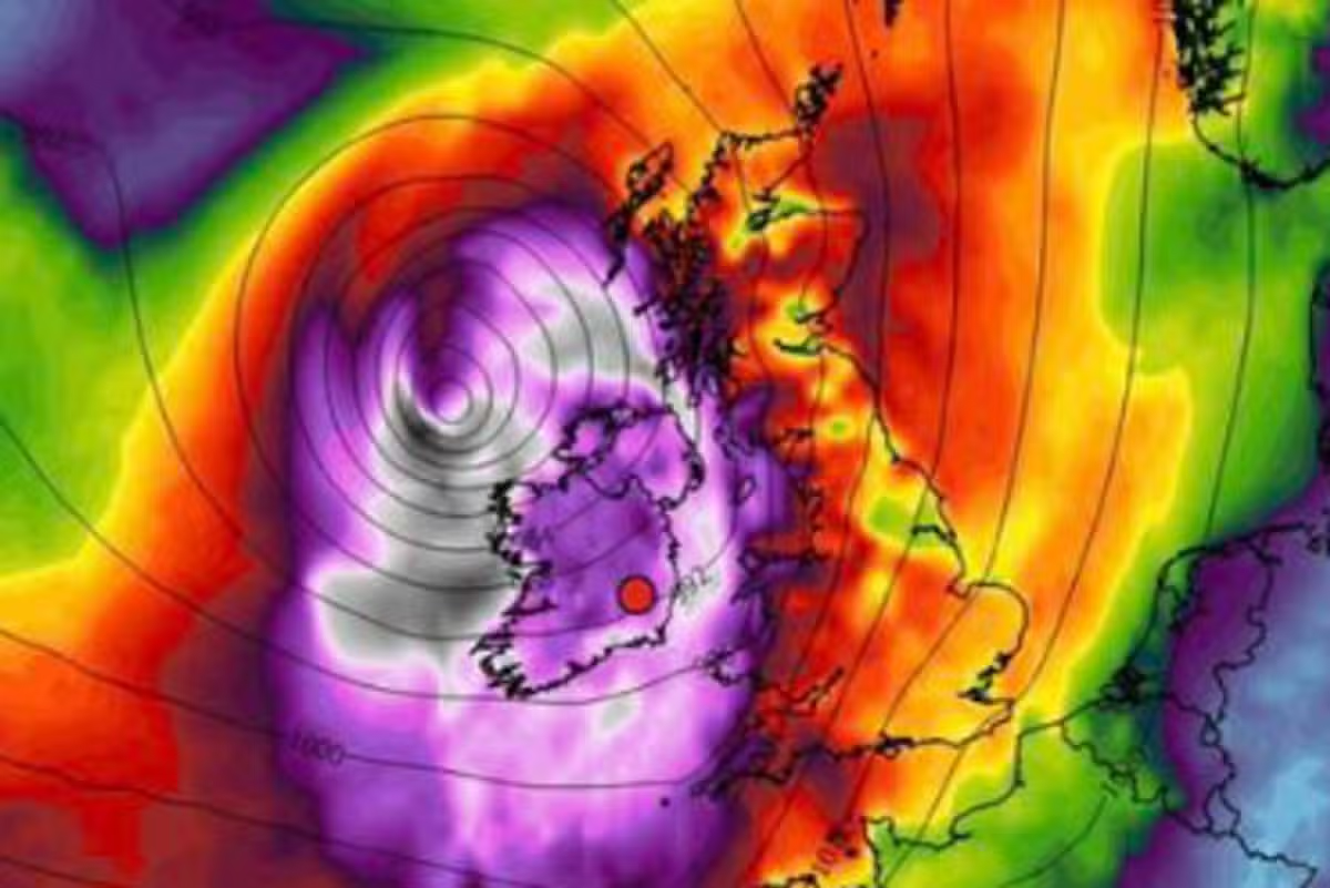
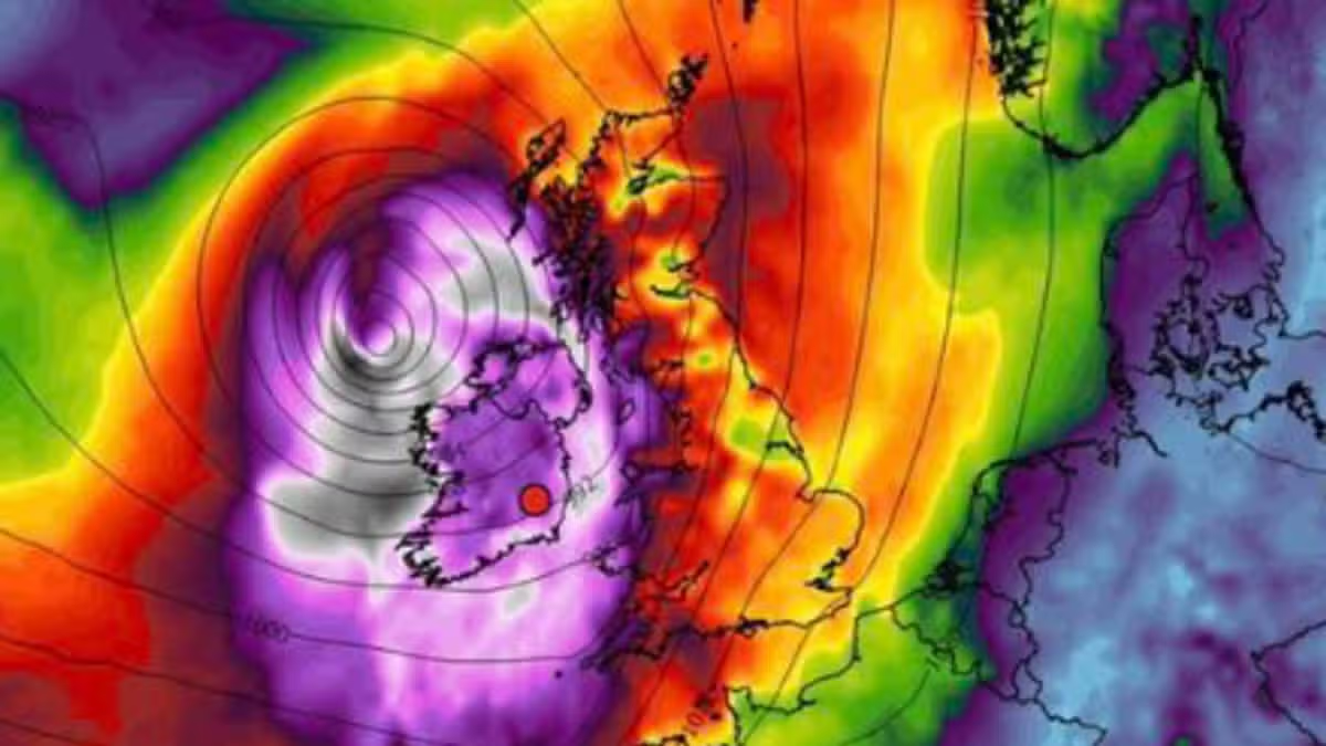
WX Charts. Image: Carlow Weather
Ireland might see some windy weather over the next week or two, and a weather expert has shared an update on the risk of stormy conditions.
Currently, predictions are showing milder but breezy weather is likely. Meanwhile other weather models are showing storm formation.
However, the risk of storms is low at this time. “Some weather models are showing a risk of storms later next week and the bank holiday weekend but the ensembles show the risk is low at present” said Alan O’Reilly of Carlow Weather.
“I’m sure some will share charts showing very severe winds but at present the risk is low. However more unsettled weather is looking likely from around the 23rd and certainly one to keep an eye on.”
According to Met Eireann, an area of high pressure is currently in control.
“With high pressure in control, it’s going to be a settled, mainly dry weekend with good spells of sunshine. Cool, though, with some chilly nights, leading to a touch of frost in places, and with some mist and fog overnight and into the mornings. Continuing mainly dry on Monday too, with uncertainty beyond that and the chance that it may turn a little more unsettled from Tuesday, but if so, it’d also be a little milder, most noticeably by night.”
Here is the full forecast from Met Eireann.
Thursday
Thursday will be mainly dry with sunny spells and scattered showers spreading slowly eastwards, remaining most frequent in the west and north. Showers continue overnight—turning heavy at times with a slight chance of thunder in northern areas—with lowest temperatures dropping to between 3 and 8 degrees under fresh westerly coastal breezes.
Friday
Friday will bring sunny spells alongside scattered showers, which will be heaviest and most frequent in western and northern parts during the morning with a slight risk of thunder. These showers will contract to Ulster and Leinster during the afternoon before dying out to leave a dry, bright evening, with highs of 12 to 15 degrees. Friday night will be dry, mostly clear, and cold, with patchy mist, fog, and frost developing as temperatures fall to between 1 and 5 degrees, locally reaching freezing.
Saturday
Morning mist and fog will clear to reveal a dry, bright day with long spells of sunshine and highs of 11 to 14 degrees. Saturday night will stay dry and chilly under mostly clear skies, with patchy mist, fog, and frost re-emerging as lows drop back to between 1 and 5 degrees.
Sunday
Mist and fog will gradually lift through Sunday morning, leaving a dry day featuring a mix of cloud and sunny spells. Temperatures will reach highs of 11 to 13 degrees in light variable breezes.
Monday
Early mist and fog will clear on Monday morning to leave another predominantly dry and bright day with sunny spells, despite isolated light showers or drizzle possible along eastern and north-western coasts. Highs will range from 11 to 13 degrees in light to moderate southeasterly breezes.
Tuesday
Tuesday turns more unsettled as cloud and outbreaks of rain push up from the south-east, followed by sunny spells and scattered showers. Highs will reach 11 to 14 degrees with moderate southeasterly winds, which will be fresher near southern and south-eastern coasts.
Wednesday
Unsettled conditions persist into Wednesday, with outbreaks of heavy, showery rain and potential thundery bursts moving up from the south. Highest temperatures will reach between 11 and 15 degrees.
Want to see more of the stories you love from Dublin Live? Making us your preferred source on Google means you’ll get more of our exclusives top stories and must-read content straight away. To add us as a preferred source, simply click here.