
Ireland is set for a worryingly wild winter with a record-breaking El Nino forecast to peak in December.
The weather phenomenon, which plays out thousands of kilometres away in the Pacific, sends ripples right around the globe and forecasters are now pointing to an erratic few months ahead.
Here is what the experts are saying, and what it could mean for Ireland’s winter months.
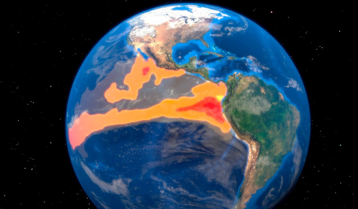 El Nino is the warm phase of the El Nino La Nina Southern Oscillation (ENSO) that occurs across the tropical Pacific Ocean roughly every five years. The ENSO affects weather systems across the world, bringing extreme weather such as floods and droughts. El Nino generally causes drier conditions in Australia and South-East Asia, and wetter and warmer conditions in the Americas.
What is El Nino?
El Nino is a natural climate event that occurs every two to seven years, when sea-surface temperatures in the central and eastern Pacific climb well above normal.
It shifts weather patterns worldwide, nudging the odds towards drought in some regions and flooding in others.
A record-breaking ‘monster’
This one is shaping up to be a monster. In its latest update, the World Meteorological Organisation (WMO) said the event is ‘firmly established and strengthening rapidly’. It is forecast to peak around December.
The organisation put the likelihood of it lasting into February 2027 at close to 100%, and said it could prove one of the strongest since at least 1950.
Sea-surface temperatures in the key Pacific region are forecast to reach around 3.7C above normal, which would shatter the previous record.
Wet and wild for Ireland
So what does it mean for us? For Ireland and north-west Europe, forecasters say the likeliest effect of a strong El Nino is a shove towards wetter, stormier and more unsettled conditions through autumn and early winter.
This will significantly raise the risk of heavy rain, flooding and the kind of Atlantic battering that comes with a run of named storms.
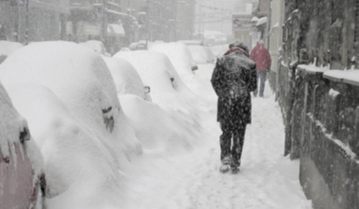
A sharp cold snap is not off the table either. Later in the winter, a strong El Nino can help disrupt the polar vortex, the band of winds high in the atmosphere that bottles up freezing Arctic air.
If that breaks down, through what is known as a Sudden Stratospheric Warming, it can open the door to a bitterly cold spell. That remains a possibility rather than a certainty, and it cannot be pinned down this far out.
What the experts are saying
A WMO spokesman said: ‘El Niño will continue to intensify ahead of its forecast peak in December. It is likely to bring above-average temperatures to much of the globe and shift rainfall patterns, increasing the risk of drought and floods in different regions.’
At home, Met Eireann has said that Ireland faces a greater chance of wetter and windier weather in the months ahead as the El Niño effect strengthens, in what the forecaster says could be the strongest event of its kind in more than 100 years.
The forecaster has urged caution, however, pointing out that while El Niño has powerful effects in many parts of the world, ‘its influence on Ireland and Europe is comparatively weak, highly variable, and not robust’, meaning the Atlantic, as ever, will have the final say on our weather.