
Rain started falling across northern Israel on Thursday and continued into Friday, before spreading southward to the central regions. The precipitation will persist after Shabbat begins but will steadily diminish. As Shabbat draws to a close, rainfall will intensify once more, delivering substantial precipitation overnight. The rain will taper off by morning, with Sunday bringing a temporary lull before another system arrives Monday.
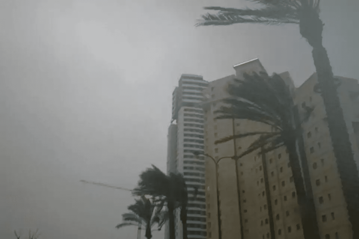
Wind conditions warrant close attention, as standard velocities across the coastal plain and lowlands will crest at 60 km/h (37 mph). Mountain zones will experience fiercer gusts, peaking at 70 km/h (43 mph) with potential bursts reaching 100 km/h (62 mph).
Friday will bring sporadic rainfall punctuated by isolated thunderstorms from northern Israel down to the northern Negev. Powerful gusts will sweep through, rendering the sea treacherous for swimmers and even vessels. Flash flooding threatens the wadis of the Judean Desert and the Dead Sea. Temperatures will plunge noticeably yet remain seasonally appropriate. Evening and overnight hours (Friday into Saturday) will see precipitation weakening and gradually subsiding.
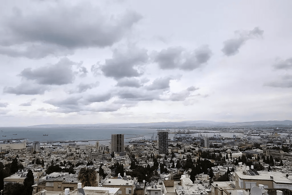 “Saturday will deliver partial cloud cover” (Photo: Michel Dot Com)
Saturday will deliver partial to substantial cloud cover. Throughout the day, scattered light showers may still affect northern and central Israel. Temperatures will hold at seasonal norms. As evening approaches, rainfall is forecast to strengthen anew, especially across northern Israel and the coastal plain.
Sunday will transition to partly cloudy or clear skies. Morning hours may still produce scattered light showers in northern Israel and along the coast. A slight temperature increase is anticipated.