
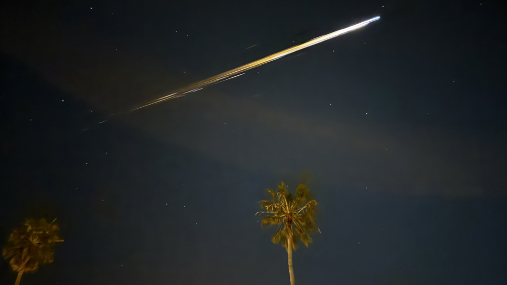
Space debris entering the Earth’s atmosphere moves faster than the speed of sound, producing sonic booms that trigger seismometers. By mapping out the activated seismometers, it’s possible to follow the trajectory of falling debris and estimate where it may have landed in near real-time.
According to the researchers, the new technique could act as an aid to the radar tracking more commonly used to estimate landing spots of space junk. Their work is published in the journal Science.
“Re-entries are happening more frequently,” said lead author Benjamin Fernando, a postdoctoral research fellow at Johns Hopkins who studies earthquakes on Earth and elsewhere in the solar system.
“Last year, we had multiple satellites entering our atmosphere each day, and we don’t have independent verification of where they entered, whether they broke up into pieces, if they burned up in the atmosphere, or if they made it to the ground. This is a growing problem, and it’s going to keep getting worse.”
Alongside Constantinos Charalambous, a research fellow at Imperial, Fernando used the new method to track to reconstruct the path of debris from China’s Shenzhou-15 spacecraft after it de-orbited in April 2024. They analysed data from 125 seismometers in southern California, calculating the path and speed of the module, which was cruising at Mach 25-30. The intensity of the seismic readings allowed them to pinpoint how the spacecraft broke into fragments and establish that it was travelling approximately 25 miles south of the trajectory predicted by US Space Command based on measurements of its orbit.
“When a spacecraft starts coming apart and tracking gets messy, the ground still ‘hears’ it,” said Charalambous. “Seismic networks let us recover a sub-second breakup sequence that we usually only model, but rarely observe directly.”
Rapid and more accurate identification of crash sites can be important for several reasons, not least the threat to human life. Debris engulfed in flames can sometimes produces toxic particulates that can linger in the atmosphere for hours. Knowing the trajectory of the debris will help organisations track where those particulates go and who might be at risk of exposure, according to the researchers.
“In 1996, debris from the Russian Mars 96 spacecraft fell out of orbit,” said Fernando.
“People thought it burned up, and its radioactive power source landed intact in the ocean. People tried to track it at the time, but its location was never confirmed. More recently, a group of scientists found artificial plutonium in a glacier in Chile that they believe is evidence the power source burst open during the descent and contaminated the area. We’d benefit from having additional tracking tools, especially for those rare occasions when debris has radioactive material.”