
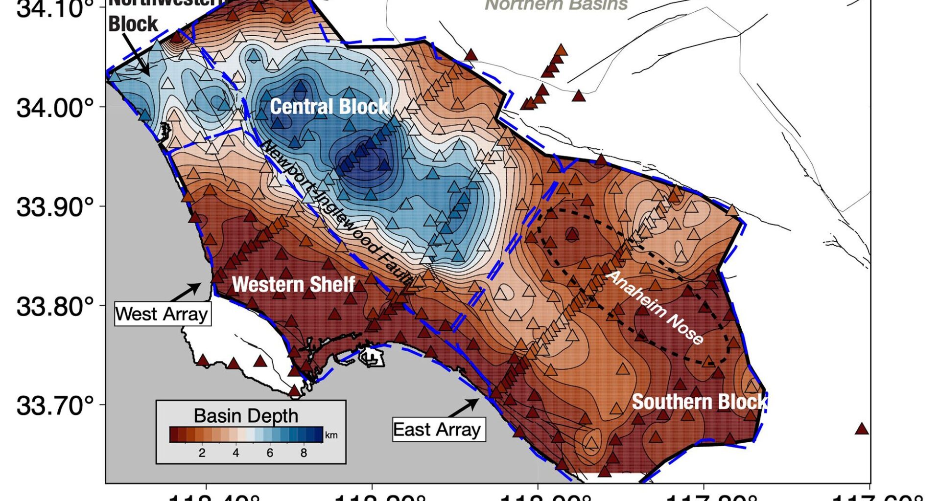
Scientists have a new view of the ground under Los Angeles, and it’s a bit shaky.
The 3D model of the Los Angeles basin shows that downtown LA is underpinned by up to 6.2 miles (10 kilometers) of sediment, which will likely amplify shaking from any earthquake that hits the region. That’s not entirely new information, but the underground map is more precise than ever before, and it should help earthquake scientists better understand which areas of the city are most vulnerable.
Latest Videos FromLive Science
You may like
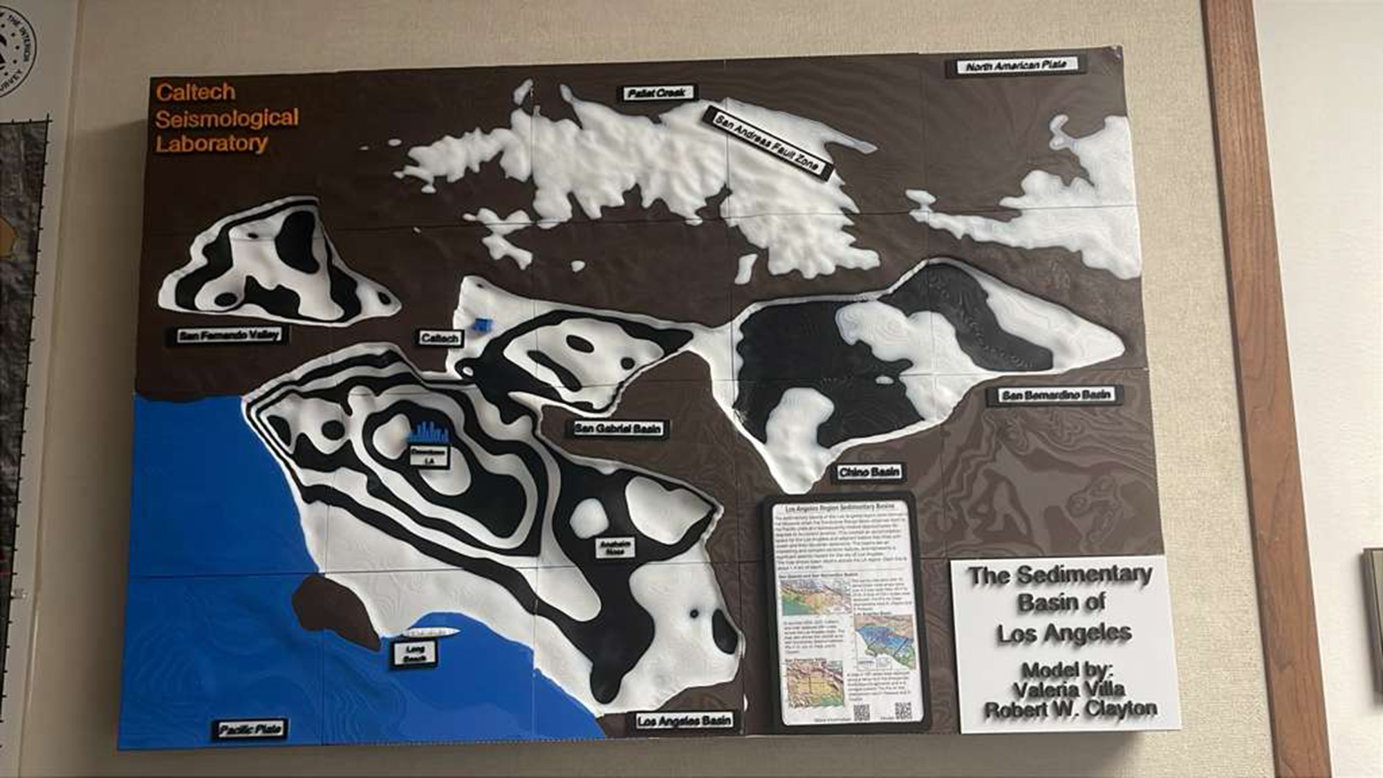
A 3D-printed model of the LA sedimentary basin.
(Image credit: Valeria Villa/Caltech)
Villa, V., & Clayton, R. W. (2026). Three‐Dimensional structure of the Los Angeles Basin and its underlying moho. Journal of Geophysical Research Solid Earth, 131(8). https://doi.org/10.1029/2026jb033837