
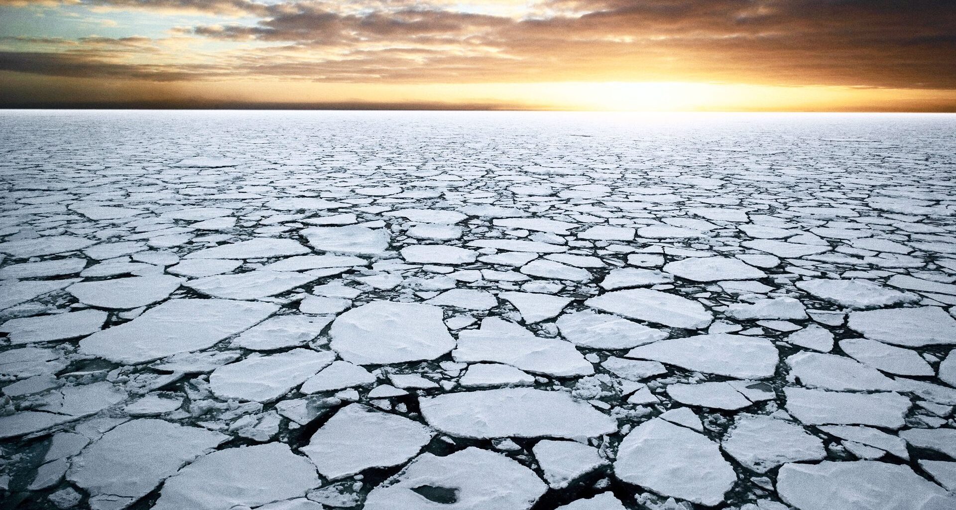
Antarctic sea ice reached its third-lowest winter peak in 2026, extending a decade of unusually low ice coverage and raising climate concerns.
Every year, the sea ice around Antarctica grows through the southern winter and reaches its largest extent in September. This year, that peak came up short again.
The ice reached its 2026 maximum on September 14, at about 6.79 million square miles (17.59 million square kilometers).
That is the third-lowest winter peak since satellite records began, and it continues a run of low years that started about a decade ago.
A peak well below average
The figures come from the National Snow and Ice Data Center (NSIDC) and were reported by NASA Earth Observatory. NASA noted that September 14 is likely the annual peak.
“The ice reached its third-lowest maximum extent since satellite observations began,” NASA wrote. Only two years in the roughly 48-year record had smaller winter peaks.
The 2026 peak was “well below average for the season,” said Lettie Roach, a researcher at the Alfred Wegener Institute in Germany, as quoted by Carbon Brief.
Other datasets tell a similar story. The UK Met Office, using a separate satellite record, also ranked the 2026 maximum as provisionally the third-lowest, behind 2023 and 2024.
How the peak is measured
Scientists track sea ice with passive microwave sensors carried on a series of satellites, including Nimbus-7, DMSP, Aqua and GCOM-W, according to NASA. Together, their data form a record that goes back to the late 1970s.
The key number is extent. According to the NSIDC, extent is the total region with at least 15 percent sea ice cover.
Extent is not the same as the area covered by ice, which counts only the ice itself. Extent is usually the larger number, but it gives a consistent way to compare one year with another.
Because the data are provisional, the exact figures can shift slightly. Different centers also process the satellite data in different ways, which is why their totals do not match exactly.
The timing can also shift. When it reported the peak in September, the Met Office cautioned that a later maximum was possible, since Antarctic peaks have sometimes come as late as early October.
A decade of low ice
For much of the satellite era, Antarctic sea ice held steady or even grew slightly. That changed around 2016, and since then it has “largely remained lower than normal,” according to NASA.
The lowest point so far came in 2023, which set records for both the lowest winter maximum and the lowest summer minimum.
The low values have shown up at other times of year too. “All five of the lowest July extents have occurred since 2022 and all four of the lowest August extents since 2023,” said Clare Eayrs of the Korea Polar Research Institute, as quoted by Carbon Brief.
Researchers are still working out why the shift happened. One study linked the 2015 turning point to the weakening of a cold water layer that had shielded the ice from warm deep water.
Another found that stronger winds pulled warm water toward the surface and that melt feedbacks then kept the ice from recovering after 2015.
Why scientists are cautious
“It is concerning to see these low values persisting,” said Roach. She also noted that it is still unclear how much of the recent change comes from human-caused warming and how much from natural variability.
More years of data will be needed to tell the difference, Roach said. For now, scientists are treating the run of low years as a signal to watch rather than a settled trend.
The pattern this year was uneven around the continent. Eayrs linked regional differences to shifts in atmospheric pressure and wind, with ice unusually scarce in the Amundsen Sea and across much of East Antarctica. A shortfall in the Bellingshausen Sea, by contrast, had recovered by late August.
Eayrs said that after a partial recovery in some regions, the ice had “returned to unusually low winter coverage.” July and August 2026 had the fifth- and fourth-lowest extents on record for those months.
The view from the other pole
In the Arctic, sea ice reached its seasonal minimum on September 12, at about 1.78 million square miles (4.60 million square kilometers). That tied for the 10th-lowest minimum on record, Carbon Brief reported.
Even so, Roach noted that the 2026 Arctic minimum was “lower than any sea ice minimum before 2007.”
Satellite records show that Arctic sea ice is now mostly thin and young after decades of loss.
At both poles, the long-term record is what scientists watch most closely. In Antarctica, this year’s peak added one more low data point to a decade that has looked very different from the years before it.
The information was obtained from NASA Earth Observatory, the National Snow and Ice Data Center and Carbon Brief.
—–
Like what you read? Subscribe to our newsletter for engaging articles, exclusive content, and the latest updates.
Check us out on EarthSnap, a free app brought to you by Eric Ralls and Earth.com.
—–