
Follow us
Add us as a preferred source on Google
Newsletter
Subscribe to our newsletter
QUICK FACTS
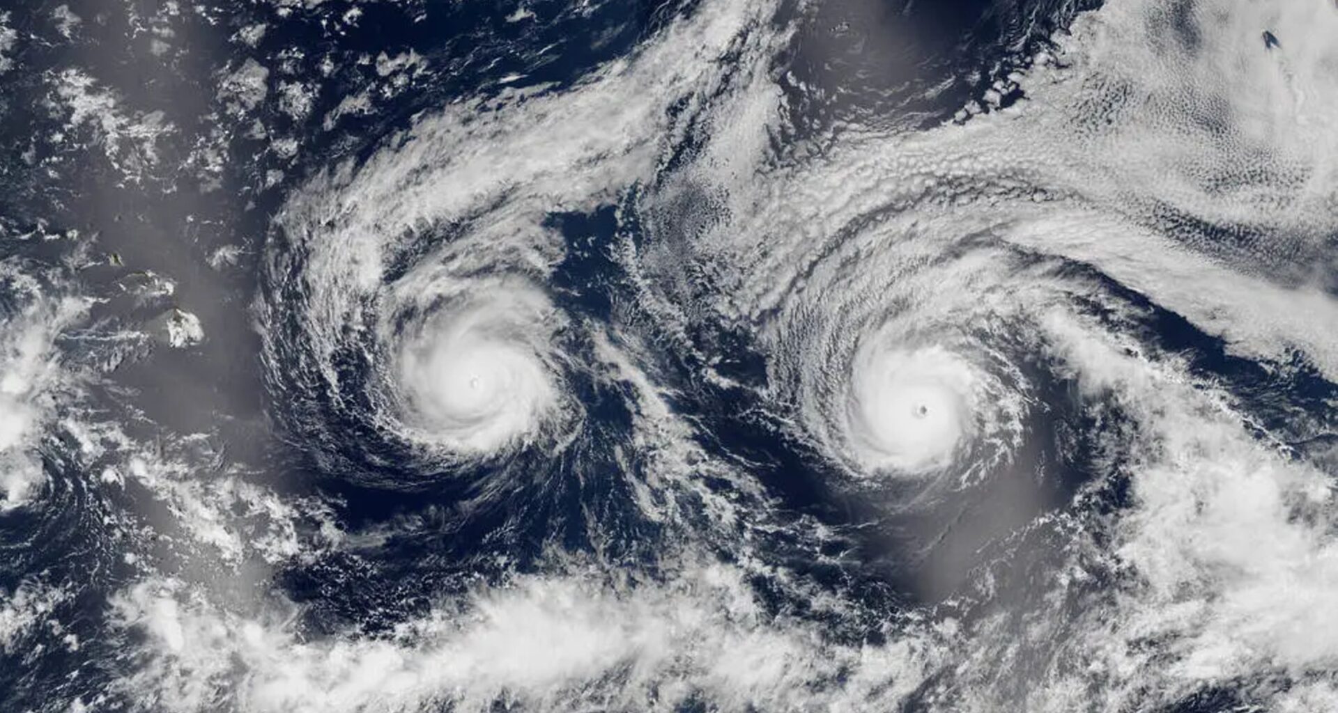
Where is it? Pacific Ocean
What’s in the photo? Hurricane Madeline (left) and Hurricane Lester (right)
Which satellite took the photo? Suomi NPP
When was it taken? Aug. 29, 2016
You may like
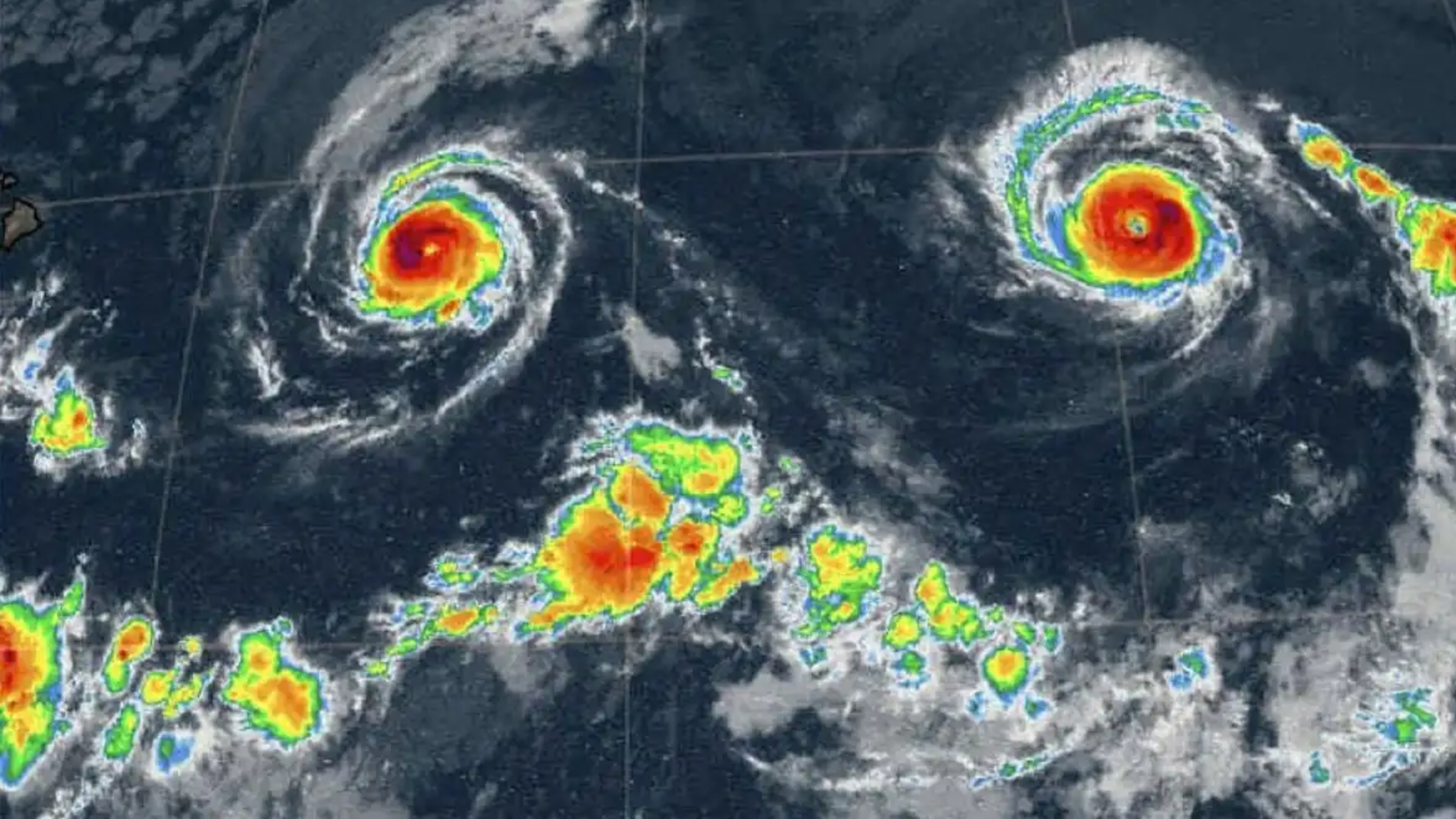
When viewed on a radar-based weather map, the hurricanes look like they are staring up into space even more.
(Image credit: National Weather Service)

While hurricanes almost never make landfall in Hawaii, they often come close enough to trigger strong gusts of wind on the islands.
(Image credit: Smith Collection/Gado/Getty Images)
TOPICS