
El Niño isn’t just sticking around—it’s supercharged—and the Washington Post reports that could translate into one of the most active US winters on record, with the exact flavor of “busy” depending heavily on where you live. The Post, drawing on its own El Niño data and interviews with meteorologists around the country, says the pattern should ramp up in November as a juiced subtropical jet stream drives a parade of storms from California across the South and up the East Coast, with heightened risks of flooding and severe thunderstorms well into 2027. Highlights by state and region:
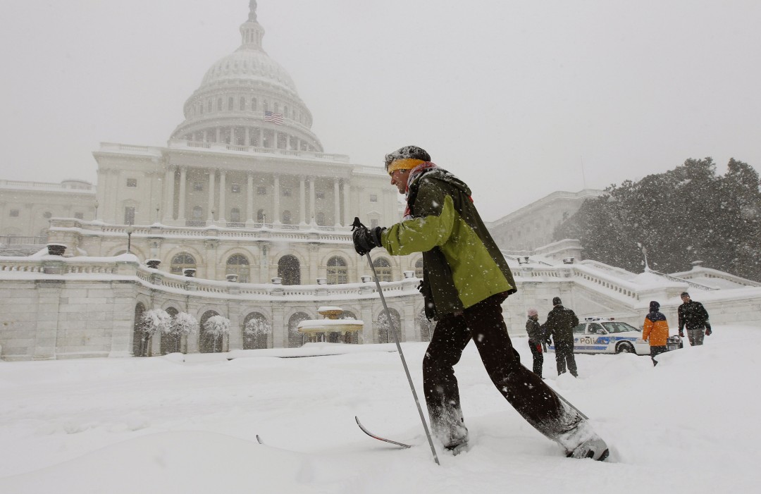
East Coast: Along the East Coast, winter should skew warmer but stormier, with more nor’easters and at least a decent shot at one big snowstorm around Washington, DC. Boston’s winter should be milder and less snowy than average, but WBZ’s Eric Fisher warns of roughly double the usual number of strong storms along the coast. New England could bid adieu to its recent drought. “I’ve been telling people that we’re about to stop asking for more rain and will start begging for it to stop raining,” Fisher says. CNN notes that more snow is typically seen during El Niño years in the likes of Baltimore (+5.1″) and DC (+3.6″) than Boston (+1.1″) or New York (+.9″).