
As Christmas celebrations are “merry and bright,” residents are finding joy and warmth in anything other than the weather.
With a downpour in Santa Clarita, and the rest of Southern California, making a strong appearance during the holiday week due to an atmospheric river, residents can expect an accumulated total between 6 to 9 inches of rain by Friday evening.
According to Joe Sirard, meteorologist with the National Weather Service, the worst of the storm occurred Wednesday, but residents are not in the clear just yet.
“We have a chance of showers and thunderstorms today through this evening. There’s a very small chance we could have a severe thunderstorm, the Warning Prediction Center said there’s a 2% chance that there could be a weak tornado that’s today through this evening,” Sirard said. “Then more of a steady rain will move in later tonight, and it’s going to linger all the way through most of Friday.”
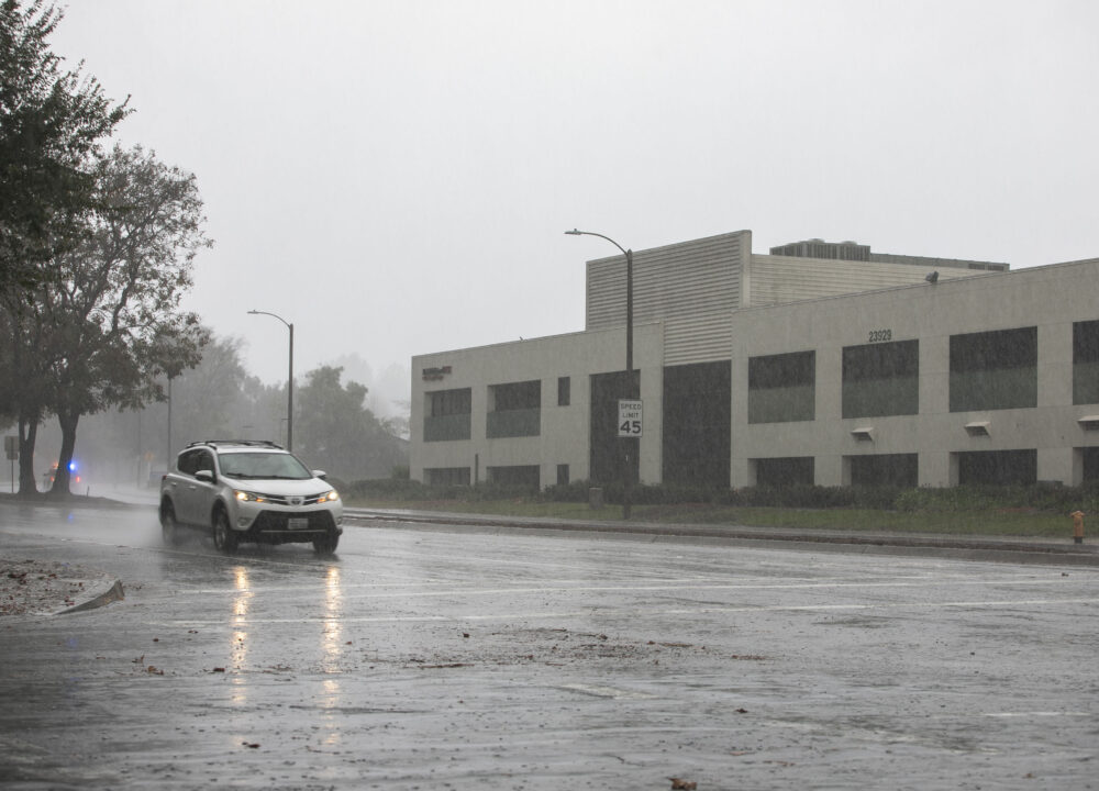
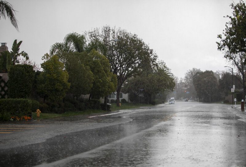 A heavy downpour was seen Christmas morning in Santa Clarita neighborhoods on Thursday, Dec. 25, 2025. Habeba Mostafa/ The Signal
According to Sirard, between 1 to 3 inches of rain is expected in the next 24 hours alone.
“With the super wet ground conditions already, it won’t take a lot of rain to produce flooding. We’re still under a flood watch through tomorrow, so we may have more flood warnings once the rain kicks in. It’s going to be another hazardous to dangerous situation coming up for tonight and Friday,” Sirard said. “Sor far, it looks like Santa Clarita has had anywhere from 5 to 6.5 inches of rain.”
Residents can expect the heaviest rains on Thursday to take place after 10 p.m. From then on, moderate to occasionally heavy rain will go into Friday afternoon.
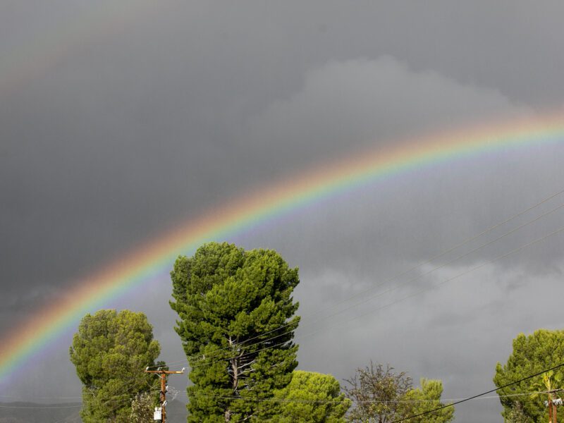 A rainbow could be seen amidst the storm in Canyon Country on Thursday, Dec. 25, 2025. Habeba Mostafa/ The Signal
As for gusts of wind, residents can expect anywhere between 20 to 50 MPH winds throughout Thursday.
“We might have some advisory level wind gusts through this afternoon. We could get 20 to 35 MPH winds; gusts up to 40 to 50 mph would not be out of the question. We’re expecting gusty winds through the afternoon, as well, and winds should die out a little bit tonight,” Sirard said. “People need to just be aware that we’re expecting flooding conditions again, so they should pay attention to the latest forecasts and warnings from the National Weather Service.”
After Friday, the weather is expected to be sunny until New Year’s Day, with a potential for another storm taking place next week.
With heavy, consistent rain for the past few days, the aftermath of the downpour has affected roads, sidewalks, and other means of transportation.
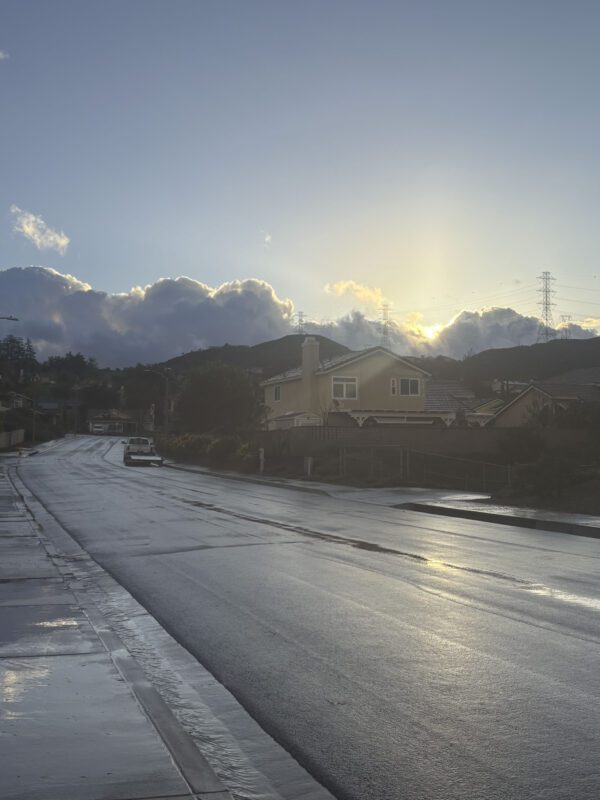 The sunrise could be seen for a short time Thursday morning in Saugus during a break in the storm. Courtesy of Erin Whyte.
According to Sgt. Anthony Levin, with the Santa Clarita Valley Sheriff’s Station, deputies responded to a sinkhole at the Newhall Metrolink Station at 6:30 p.m. The sinkhole was between the train platform and one of the tracks. Trains were directed to other tracks, and there were no pedestrians injured or vehicles affected.
According to witnesses at the scene, California Highway Patrol and L.A. County Public Works were called to the intersection of Sand Canyon Road and Big Tujunga Canyon Road Wednesday afternoon, at 4:50 p.m., to clear 200 feet of mud and debris blocking both the north and southbound lanes. Witnesses also reported another rockslide at mile marker 6.95.
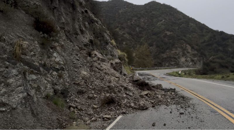 Rockslides were seen throughout Big Tujunga Canyon Road. Courtesy image.
The city of Santa Clarita released a social media post stating that the westbound right lane of Soledad Canyon Drive, between Camp Plenty Road and Langside Avenue, is closed due to the “washing out” of the sidewalks.
“Please expect delays, drive with caution and use alternate routes if possible while crews make repairs,” the post read.