
Lasers have confirmed the big driver behind today’s rapidly rising sea levels. A new study reports that global mean sea level (GMSL) has climbed about 3.5 inches since 1993.
What’s even more concerning is that the pace has increased dramatically in the last two decades.

Roughly 60 percent of the rise coming from added water mass, and more than four fifths of that added mass came from melting land ice.
Sea level changes for two reasons, seawater warms and expands, and new water flows from land into the ocean.
The oceans take up about 90 percent of the extra heat trapped by greenhouse gases, according to the IPCC report.
Lasers and global mean sea levels
Dr. Yufeng Nie of the Department of Land Surveying and Geo-Informatics at Hong Kong Polytechnic University led the analysis (PolyU).
His team focused on barystatic sea level, the part of sea level rise caused by adding water to the oceans rather than warming.
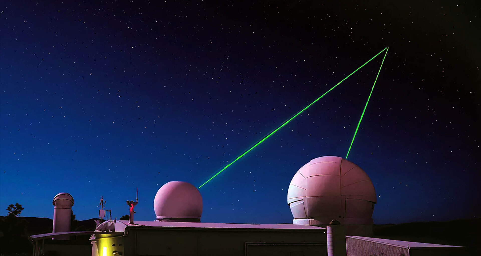
The record comes from satellite laser ranging (SLR), where ground stations fire brief laser pulses at satellites and time the light’s round trip to millimeter accuracy. This global work is coordinated through the ILRS.
Those distances let scientists track small shifts in Earth’s gravity as water and ice move. When the ocean gains mass, the gravity field changes in ways the laser measurements can detect over long periods.
The team checked the laser record against gravity data from GRACE, the NASA and German satellite pair that began tracking Earth’s shifting water in 2002.
Both systems told a consistent story about how much new water has poured into the ocean.
Importance of SLR technique
The laser technique fills a key gap because the GRACE record begins in 2002 and has short interruptions.
A continuous, independent barystatic record from the early 1990s strengthens confidence in how fast the ocean’s mass is climbing.
It also cross checks satellite altimetry, which measures the height of the sea surface. When mass from land and heat expansion are added together, the results match the altimeter record within known uncertainties.
The PolyU team used forward modeling to overcome the coarse resolution of laser gravity data and to handle geocenter issues that can bias long term rates.
That step kept signals from bleeding across coastlines, which is a common problem in global gravity work.
“This demonstrates that the traditional SLR technique can now serve as a novel and powerful tool for long term climate change studies,” said Dr. Nie. The point speaks to the value of long, independent measurements.
What lasers say about sea levels
Three and a half inches over three decades might sound small, yet it stacks on top of tides, storms, and land motion.
Local sea level can move faster or slower than the global average because ice loss from warming waters and changing gravity redistribute water unevenly.
The pace is not steady either. The global rate today is higher than it was in the 1990s, which lines up with faster ice loss seen in Greenland and Antarctica.
The new mass record shows why. When land ice adds water to the ocean, the extra volume raises sea level everywhere, year after year.
By contrast, thermosteric rise depends on how heat is distributed. Heat can shuffle between layers and regions of the ocean, so its effect can slow or speed up for a few years without changing the long term trend.
Coastlines are feeling the heat
Communities on low lying coasts are already seeing more frequent high tide flooding. A small upward nudge in the baseline allows ordinary tides to push water onto streets that used to stay dry.
Heavy rain and storm surge then ride on a higher starting point. That means a flood that once reached a certain mark now reaches a bit farther inland.
Added water mass also nudges local gravity and can tilt the sea surface by small amounts. That is why sea level fingerprints from polar ice loss are not uniform across the globe.
City planners care less about the cause and more about the pace. A world where mass driven rise is a larger slice of the total is one where the baseline steadily inches up in most places.
What scientists are watching next
Long records help separate year to year wiggles from enduring trends. With lasers extending the barystatic record back to 1993, researchers can test whether climate models capture both the rate and the acceleration.
They will also keep checking the global sea level budget. When the height from altimeters equals the sum of added heat and added water within uncertainties, the observing system is working as intended.
Better coastal projections depend on pinning down how fast land ice will melt under different warming paths. The mass record from lasers and gravity satellites gives a direct global check on those estimates.
The observing toolbox is getting stronger. Lasers supply stability across decades, GRACE style missions sense mass month to month, and altimeters track the ocean surface with high precision.
Lasers, sea levels, and Earth’s future
A steady rise of a few inches over a couple of decades changes flood odds. Homes, roads, ports, and wastewater systems last a long time, so design choices made now will live in a higher ocean world.
Simple steps add up, from raising electrical gear and sea walls to restoring natural buffers like marshes. In many places, planning for today’s tides plus a few extra inches is already prudent.
Insurance markets, mortgages, and local budgets notice these creeping changes. Clear, consistent measurements calm debate and help communities avoid expensive surprises.
The big picture is plain. New water pouring into the seas is now the main driver of global sea level rise, and the laser record confirms it.
The study is published in Proceedings of the National Academy of Sciences.
—–
Like what you read? Subscribe to our newsletter for engaging articles, exclusive content, and the latest updates.
Check us out on EarthSnap, a free app brought to you by Eric Ralls and Earth.com.
—–