
COSMO-SkyMed image of Pine Island Glacier in Antarctica, which clearly shows icebergs
of considerable size (the one in the center of the image is almost 9.5 miles) breaking
away from the ice shelf formed by the flow of ice into the sea. Photo courtesy Italian
Space Agency
A University of Houston scientist has teamed with international partners to examine
how Antarctica’s massive glaciers are shifting and how that could predict sea level
changes. Their latest collaboration offers the most precise mapping to date in Antarctica
of grounding lines, the points where glaciers lift from bedrock and begin to float
on the ocean.
On earth today, only two ice sheets, or continental glaciers, exist — one in Antarctica
and the other in Greenland. Over thousands of years of snow compacting and compressing,
the ice sheets formed and now cover most of the land in those areas.
About five years ago, the Italian Space Agency began examining Antarctica’s glaciers
during its dedicated COSMO-SkyMed mission, meant to observe the earth using its constellation
of four synthetic aperture radar satellites, first launched 17 years ago.
And now, after transcription and interpretation, these observations reveal tidal movements
and retreat rates in Antarctica of up to 700 meters — or about a half mile — per year
in some regions, providing an unprecedented view of glacier evolution.
Antarctica is a significant contributor to global sea level rise, with the potential
to substantially increase sea level by the end of this century.
It seems a simple math problem: If the grounding line is measured as having moved
inland, where glacier thickness increases, then more ice is flowing outland — or into
the ocean. And the more ice into the ocean, means higher sea levels. And vice versa.
“Continuous monitoring of Antarctic evolution is important to understand ice sheet
dynamics, minimizing uncertainties in sea level rise projections, and develop strategies
to mitigate the risks posed by rising sea level,” said Pietro Milillo, assistant professor
of civil and environmental engineering.
“This dataset provides the most detailed view yet of how Antarctica’s glaciers are
interacting with the ocean. For the first time, we can monitor fast-flowing glaciers
at a continental scale using high-frequency radar observations.” Milillo and the
Italian Space Agency published their findings in Scientific Data, a Nature publication.
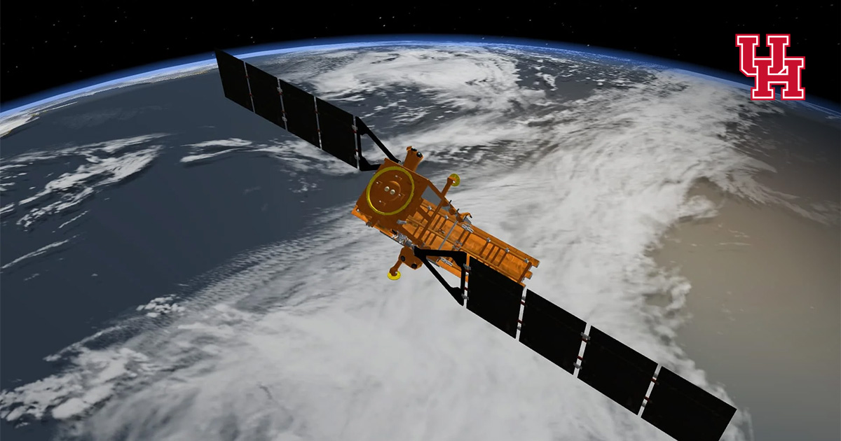
 COSMO-SkyMed over the earth. Photo courtesy Italian Space Agency.
 Pietro Milillo, assistant professor of civil and environmental engineering, is working
with the Italian Space Agency to interpret unprecendented photos of Antarctica glaciers.
The paper presents an Antarctic grounding line dataset, manually mapped using Differential
Interferometric Synthetic Aperture Radar (DInSAR) data. Over the years, various techniques
have been developed for mapping grounding lines, but DInSAR stands out for its ability
to operate under all weather conditions, and its proven effectiveness in continuously
monitoring grounding lines and detecting their rapid migrations.
To measure tiny movements in the ice, the team analyzed 794 images from over 74 glaciers
in East Antarctica, West Antarctica, and the Antarctic Peninsula between July 2020
and March 2022.
“Our collaboration with NASA and the University of Houston highlights how international
cooperation can advance the frontiers of Earth observation,” said Luigi Dini of the
Italian Space Agency, coauthor of the study. “The COSMO-SkyMed system’s radar technology
gives scientists a powerful lens to observe Antarctica’s evolution in near real time.”
The dataset fills major data gaps left by previous missions which struggled to map
fast-flowing glaciers and is freely available to the scientific community.
“By partnering with the Italian Space Agency and funding by NASA, we’ve made these
data publicly available so scientists worldwide can better understand and model how
Antarctic glaciers are evolving and contributing to sea-level rise,” said Milillo.