
“With the current information set up, wet weather is more likely in the south and west, maybe some passing showers for western parts of the North Island.”
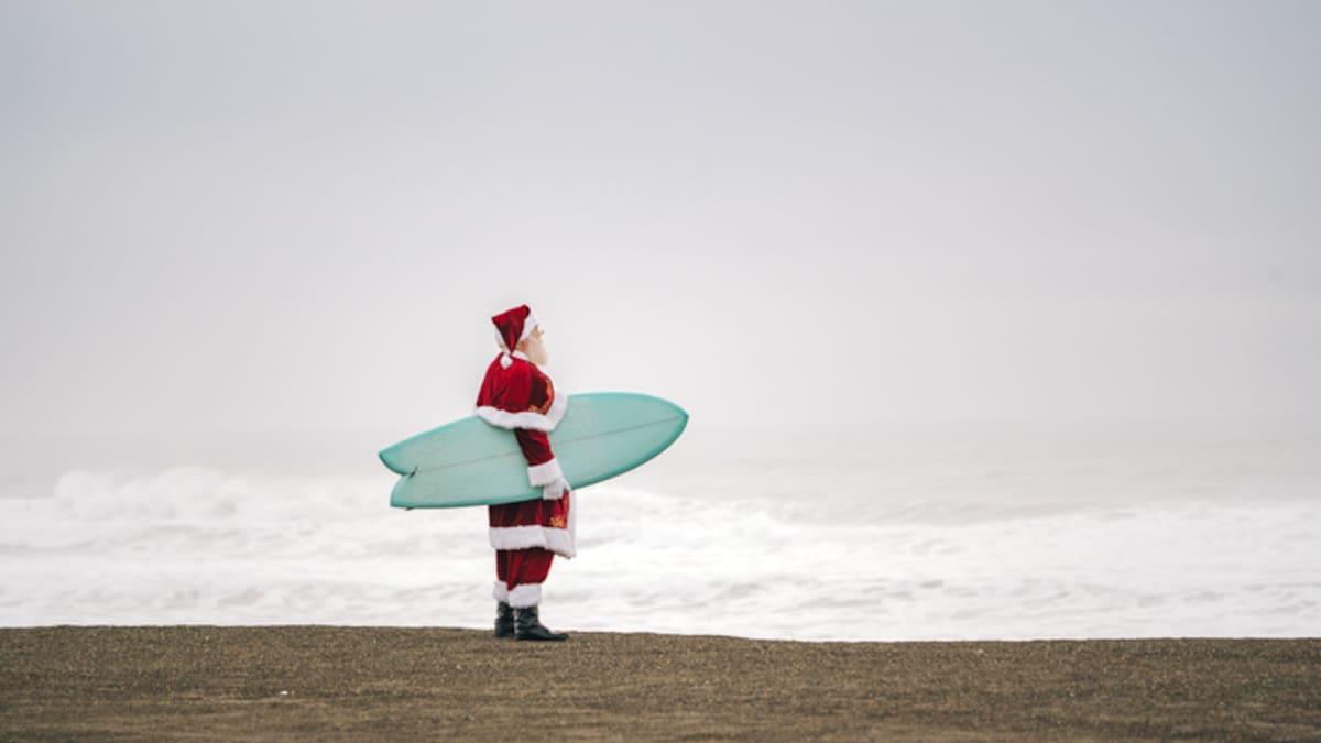
With only eight sleeps until Christmas, new forecasts predict some areas will be lucky to dodge the rain on the big day. Photo / Sylvie Whinray
Where is the place to be?
Ferris said that, as is tradition, eastern areas of both the North and South Islands look to be the best places in terms of having warm, sunnier days.
He also said the most northern parts of New Zealand are expected to be the warmest and finest for Christmas Day.
Ferris said Kiwis in those eastern areas will likely get some warmer winds too.
“In terms of temperatures, most places have already kind of dipped down, especially if you look at the highs that we were having just last week.”
Last week, sizzling temperatures were felt across the country as Auckland hit 28C, Napier Airport 34C and Wairoa 32C.
Ferris said some regions have dropped to lower than average temperatures for this time of year.
“I think it’s always a timely reminder that December is often going to have these sorts of swings in temperatures.
“It’s still a sort of hangover from spring where we can have that colder air push up from the south, which is what we’re seeing,” Ferris said.
He said these colder temperatures could linger through to next week.
“It does look like the top of the North Island is kind of spared from the cold air that has been moving up the country.”
Ferris said Central Otago, the northern parts of the South Island, and the central parts of the North Island are areas where the weather “could go either way”.
“People will just need to keep an eye on that forecast, especially if they’re planning that sort of outdoors Christmas lunch, because [they] might need to be squeezing the whole whānau around the dining table inside.”
Sign up to The Daily H, a free newsletter curated by our editors and delivered straight to your inbox every weekday.