
Heat alerts are in place for Kerikeri, Whangārei, Whitianga, Tauranga, Whakatāne, Rotorua and Taupō.
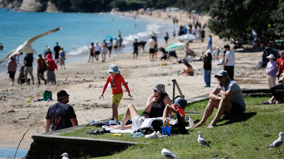
Water offers quick relief from the midday summer heat. Photo / Jason Dorday
Heat alerts are also in place for Gisborne, Napier, Hastings, Motueka, Blenheim, Kaikōura, Christchurch and Timaru.
A heat alert for Masterton is only in effect for the remainder of today.
MetService meteorologist Rob Kerr said heat alerts are issued a day out from hot weather, and are based on each centre’s usual summer highs and/or how many days of hot weather are forecast.
Heat set to crank up to 38C
The hottest spell of the multi-day heat-streak is expected tomorrow, with Hastings forecast to fry on 38C and neighbouring Napier not much lower at 36C.
Kerr said it is likely Napier will break its January temperature record tomorrow.
The heat, combined with severe northwesterlies forecast for the lower North Island and much of the South Island tomorrow, has raised wildfire risks to extreme.
“It will be dry in these northwesterlies, particularly in places like northern Wairarapa, Hawke’s Bay, Gisborne. Those are the areas that we’re focusing on for high risk of fires for tomorrow,” Kerr said.
He said people should be cautious when planning any barbecues in the next few days.
“Anything that’s lit, sparks can fly and get driven quite a long way and start fires,” Kerr said.
People in areas under alert should check in on their most vulnerable, including babies and the elderly, and ensure pets are “well cared for” with water and shade, MetService meteorologist Michael Pawley said.
“Heat alerts are more than just a typical hot summer’s day … people can see some health effects from this sort of thing,” Pawley said.
Auckland’s forecast of 29C for tomorrow is just 1C shy of its heat alert trigger, Pawley said.
Multiple dead in water incidents
Two people died in separate water tragedies in Canterbury and the Bay of Plenty this afternoon.
One person remains missing, one person is in a critical condition, and one is in a serious condition after other, separate water incidents across the country.
Water Safety New Zealand chief executive Glen Scanlon urged people to keep in mind the key messages around water safety at this busy time.
“What we tend to see is so often those hot, calm days when people find themselves unexpectedly in more trouble because the conditions look so good,” Scanlon said.
He advised people to never swim or dive alone in any of New Zealand’s water environments.
“If you’re at a patrolled beach, please swim between the flags. Take advantage of the great surf lifesavers and the job they do to keep you safe.
“Please, if you’re fishing from land or from a boat as well, wear a lifejacket. It’s going to keep you really super safe.
“If you’ve got your kids, always stay close to them,” Scanlon said.
Severe 130km/h gales
Meanwhile, severe gales gusting up to 130km/h are expected across a large part of the South Island and the lower North Island, posing an extreme fire risk when combined with scorching temperatures.
MetService has issued a warning for severe gale northwesterlies gusting to 120km/h from early tomorrow morning through the day for Marlborough, Wellington, Wairarapa and Tararua District.
The high country and foothills of Canterbury are also under a warning for severe gale northwesterlies gusting 130km/h from 10pm tonight until 5pm tomorrow.
Strong wind watches are also in place for eastern Canterbury and the lower South Island.
Northland, Tairāwhiti, Hawke’s Bay, Wairarapa, Marlborough, Canterbury, Mid-South Canterbury and Otago faced “spiking” fire danger today and especially tomorrow, Fire and Emergency deputy chief executive of prevention Nick Pyatt said.
“Extreme caution [is] needed.”
There is an extreme risk of fire in northern and eastern parts of the country this weekend, Fire and Emergency says.
In contrast, an orange heavy rain warning has been issued for the headwaters of the Canterbury lakes and rivers about and south of Arthur’s Pass, and for Fiordland and parts of Westland from tonight, MetService said on its website.
“There’s an elevated risk of thunderstorms, especially in the west of the South Island tomorrow.”
“We can expect that there might be some damage to trees and power lines … [and] with winds picking up, wildfires can get out of hand quite quickly,” Pawley said.
Further north, there are heavy rain watches across the Grey and Buller districts in the upper South Island tomorrow afternoon and evening.
Sign up to The Daily H, a free newsletter curated by our editors and delivered straight to your inbox every weekday.