
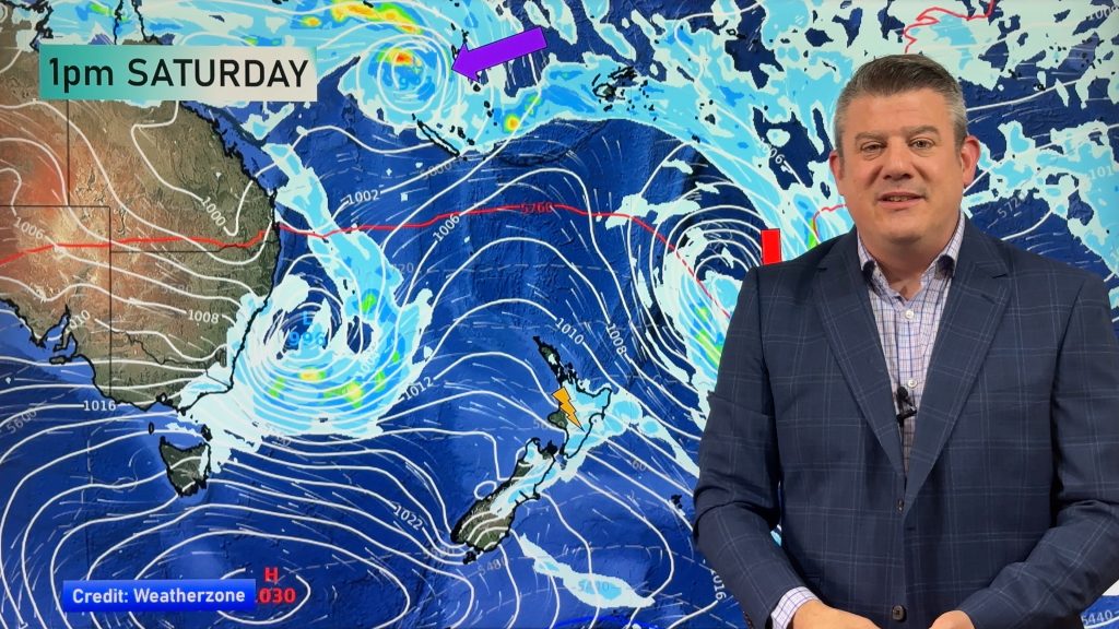
High pressure looks to be pretty dominant in the NZ area this week, but we have plenty of showers, downpours and a few inland thunderstorms in the mix too as humidity levels lift a little and more east to north-east winds develop.
There are at least four low pressure zones to monitor this week, three of them having tropical or subtropical connections.
A tropical cyclone near New Caledonia is possible later this week or weekend. It’s not locked in yet, with so many other lows in the region sometimes they can “steal energy” off each other, making for large lazy lows rather than one particularly aggressive one. Still, they are all worth monitoring as all these lows, even if offshore, may influence NZ’s weather. But higher air pressure looks to be the main driving force of our weather this week.
We have your forecast through until this coming Sunday.