
It’s been a rough run of weather across New Zealand, from one storm after another to widespread flooding – and now we’ve got another major shift on the horizon.
One of the strongest El Niño events, not to be confused with La Niña, in the past 50 years is expected to develop this winter.
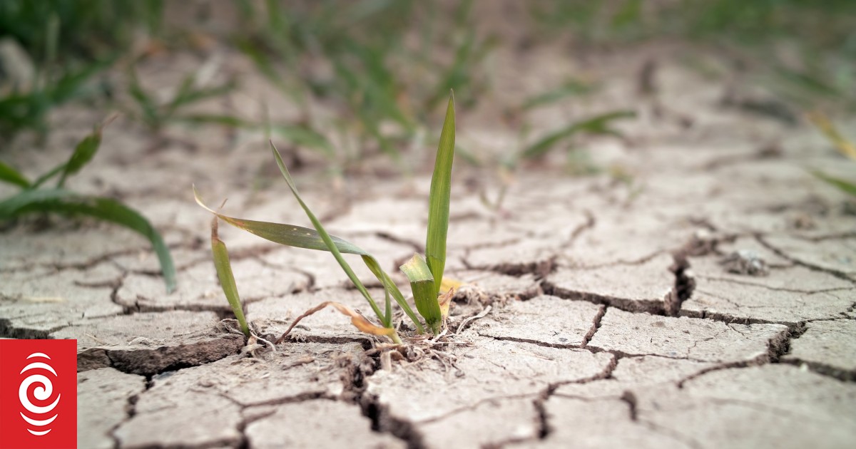
That could mean dry conditions in the north and east, and much wetter in the west.
But what’s actually driving this shift, and what does it mean for the months ahead?
To help explain it all, Emile Donovan is joined by Earth Sciences New Zealand climate scientist Chris Brandolino.
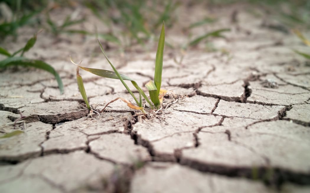
Photo: 123rf