
A tree is down blocking SH30, near Rotorua. Photo / Supplied
Meanwhile, rainfall totals in the region have been steady.
According to the MetService website, Tauranga recorded 31.4mm as of 7.30am, with a forecast total of around 39.4mm, while Rotorua has had 32.9mm, with expectations of up to 53.4mm by the end of the day.
MetService warns a further 30 to 60mm could fall across affected areas, with peak intensities of up to 20mm/h possible in localised downpours. Thunderstorms are also possible through the morning and early afternoon.
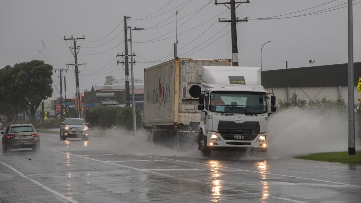
The prolonged heavy rain is expected to increase the risk of rapidly rising rivers and streams, surface flooding, slips and hazardous driving conditions.
MetService meteorologist John Law said the northerly flow caused the hills on the Bay of Plenty’s southern edge to act like a funnel.
“The rain comes, feeds in, pushes through towards parts of Rotorua and those hills in the east as well.”
MetService’s website warns streams and rivers may rise rapidly, with surface flooding, slips and difficult driving conditions possible.