
Toitū Te Whenua Land Information New Zealand has released new high-resolution coastal Lidar point cloud data, offering one of the most detailed digital representations of New Zealand’s coastline to date.
The dataset, now available on the LINZ Data Service, forms part of the 3D Coastal Mapping Programme, which launched in 2025 with an objective of mapping up to 40 percent of New Zealand’s coastline. The latest release marks one of several dataset milestones under the programme, with more coastal data scheduled to follow.
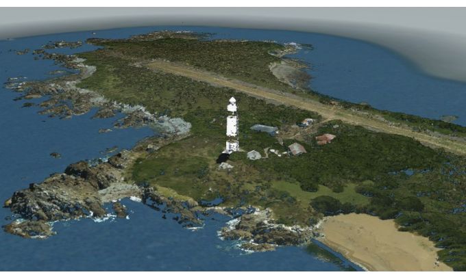
The point cloud captures coastal environments in three dimensions, enabling more accurate analysis of coastal change and associated risks including sea-level rise, storm surge and tsunami. Areas covered include the Ōakura coastline in Taranaki, Dog Island in Foveaux Strait and the Port of Tauranga. Data points are classified – and can be colourised – into ground feature types such as bare ground, vegetation, buildings and seafloor, giving scientists, planners and decision-makers a richer basis for environmental assessment.
Stuart Caie, 3D Coastal Mapping Programme lead, noted that the release had been delivered on schedule and acknowledged the contribution of suppliers Woolpert Asia-Pacific and NV5 Geospatial in bringing the dataset to completion.
Where water turbidity limits bathymetric Lidar penetration, the programme supplements acquisition with MBES (multibeam echosounder) technology, ensuring continuity of seabed coverage in areas where suspended sediment would otherwise leave gaps in the dataset.
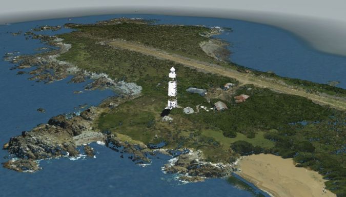
Lidar point cloud data of Dog Island, New Zealand. (Image courtesy: LINZ)