
MetService said the record-breaking heat was caused by a strong northwesterly wind that lifted temperatures around four degrees within half an hour.
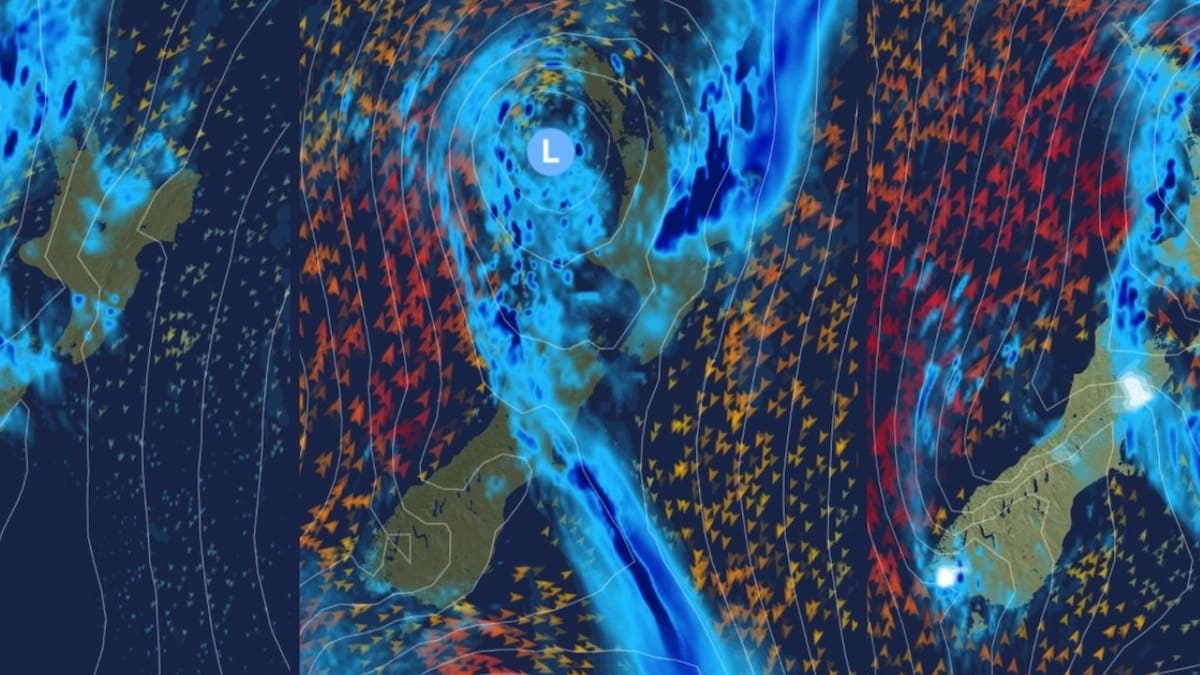
Possible path for the low-pressure system heading towards New Zealand this week. Image / MetService
“That’s pretty impressive, considering the warmest temperature they’ve had so far this year was 32.3C on January 11,” Bakker said.
“The average maximum in June is 11.6C, which was exactly the max temperature recorded on Sunday.”
Bakker said the mountainous parts of the South Island are unlikely to see temperatures in the double digits.
Snow is likely in higher parts of inland Canterbury and Marlborough on Thursday, which could affect high roads.
The low-pressure system is set to bring heavy rain to many areas from Wednesday, especially in the northern and central parts of the country.
Strong winds are set to follow, with the risk of severe gales for parts of the North Island on Thursday and Friday.
“The exact path of this weather system will affect which regions will see the heaviest rain and strongest winds.”
MetService urged people to keep up with the latest forecasts later in the week, with potential for severe weather warnings.