

Several parts of the South Island are in for a variety of weather warnings this weekend while police also urged caution on an icy North Island road.
Heavy snow, rain and wind warnings are spread out across parts of Canterbury, Otago and Southland.
MetService has issued an orange heavy snow warning for Otago, excluding coastal areas, as well as northern Southland from 6am Sunday till 6am Monday .
Metservice meteorologist, Gerard Bellam, said parts of the southern South Island could see a metre of snow in areas above 800m over the next day.
He said an active front was currently crossing the South Island which would move to the North Island tomorrow.
“People need to keep up to date with the latest forecasts, have a look at our warnings page, and only really take necessary travel if you’re travelling around that southern part of the South Island tomorrow with that heavy snow expected.”
Bellam said that towards the end of next week, the weather in the South Island should be fine but chilly so it could be a good opportunity to head to the ski fields.
Meteorologist Alanna Burrows says snow is expected to develop as low as 200 metres in Otago and northern Southland on Sunday.
“We are expecting snow to develop tomorrow (Sunday) so we’ve got a heavy snow warning out for Otago and northern Southland.”
Above 400 metres in the region, over 15 cm of snow was expected to accumulate.
There were also road snowfall warnings for the Crown Range Road, Milford Road (SH94), Haast Pass (SH6), Lindis Pass (SH8) and Dunedin to Waitati Highway (SH1).
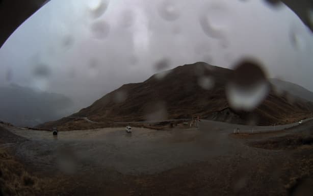
The Crown Range live webcam around 11am on Saturday 4 July.
MetService/Screenshot
Metservice said there was a possibility in areas under the snow warning of travel disruptions and damage to trees and powerlines with cold conditions potentially causing stress for livestock.
Snow was not the only weather hazard expected for the region with rain and wind warnings covering large parts of the South Island.
MetService had issued orange heavy rain warnings for the ranges of Westland, Coastal Otago, Fiordland about and north of Doubtful Sound, headwaters of the Otago lakes and rivers as well as the headwaters of the Canterbury lakes and rivers south of Arthur’s Pass.
Most heavy rain warnings are in place from Saturday morning until Saturday afternoon or night, with the exception of Coastal Otago which has rain warnings from Sunday till Monday morning.
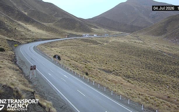
The Lindis Pass live webcam around 11am Saturday July 4.
NZTA/Screenshot
Up to 200mm of rain was expected in the ranges of Westland with most other areas expecting a maximum of between 100-150mm of rain. Fiordland about and north of Doubtful Sound was set to get between 40 to 70 mm of rain.
MetService warned that streams and rivers can rise rapidly and surface flooding, slips, and difficult driving conditions possible in all areas under orange rain warnings.
A heavy rain watch is also in place for Mainland Southland, not including northern Southland above 400 metres for 24 hours from Saturday night.
Canterbury High Country was also under an orange strong wind watch until 9pm Saturday with severe northwest gales, gusting 130 km/h in exposed places.
The South Island was not the only one in for frosty conditions as police urged motorists on the North Island’s State Highway 5 to drive with caution.
They say ice has caused two minor crashes, with the worst of the conditions between the Summit and Te Hāroto in Hawke’s Bay.
Both police and contractors were in the area and while no injuries were reported, drivers were being advised to drive to the conditions.