
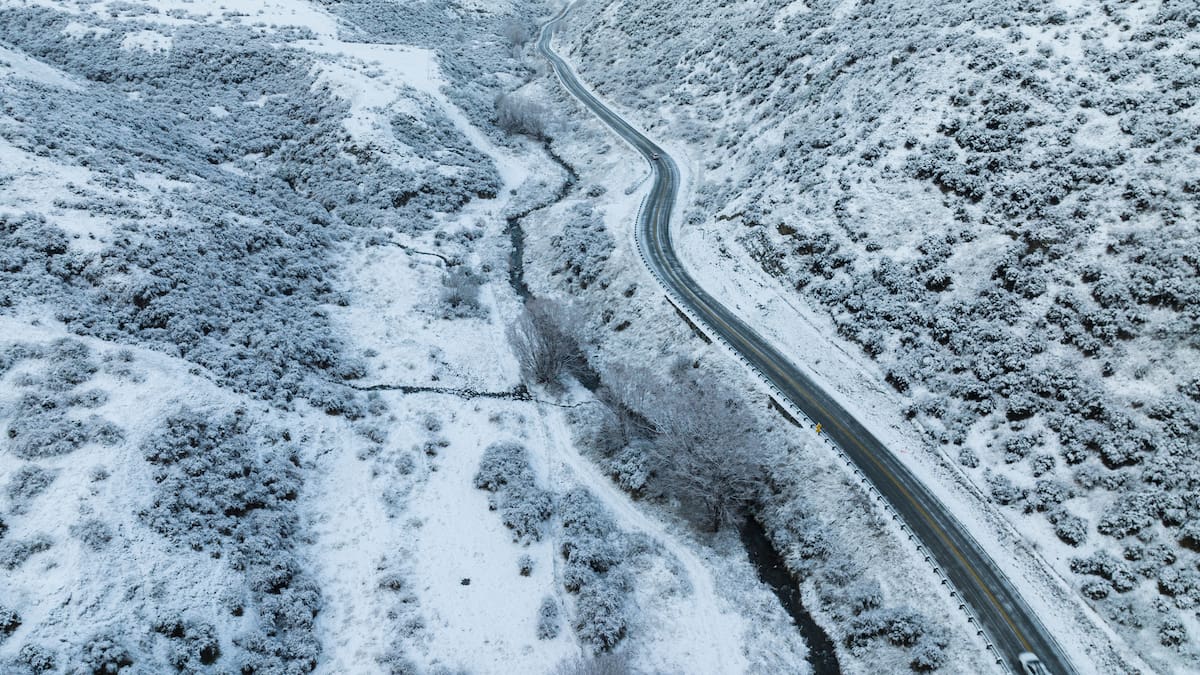
Motorists are advised to take care, with road snowfall warnings in place for the Haast Pass (SH6), Lindis Pass (SH8), Crown Range Rd and Milford Rd (SH94) from the early hours.
A road snowfall warning is also in place for State Highway 1 between Dunedin and the Waitati Highway from midday.
Though the snowfall is expected across many of the South Island’s ski fields, today’s whiteout conditions are expected to make skiing difficult before clearing next week.
“Probably from middle of week onwards we’ll be looking at bumper skiing conditions, coinciding nicely with the school holidays,” Bellam said.
Coastal Otago is under an orange heavy rain warning until 9am on Monday, with 75mm to 100mm expected.
“So quite a reasonably prolonged spell of rain coming in from the east for those people there,” Bellam said.
MetService has also issued a heavy rain watch for mainland Southland, while a strong wind watch is in place for parts of Fiordland from tonight into Monday, with southeast winds potentially reaching severe gale strength in exposed areas.
“We’ve got a big low front that was crossing the South Island yesterday and that’s going to cross the North Island during the course of today.”
The front will bring rain and potentially heavy falls to parts of the North Island as it tracks northward throughout today.
For the coastal fringe of Northland, Great Barrier Island and the Eastern Bay of Plenty, there is a risk of thunderstorms throughout the morning.
With the snowfall, the South Island can expect single-digit daytime temperatures through the close of the weekend.
In Twizel and Alexandra, a maximum of 6C is expected.
“This time of year, you would expect on average about 8C for their maximum,” Bellam said.
Temperatures across the North Island will be closer to seasonal averages after a frosty start to the weekend, with overnight lows of 6C forecast for Gisborne and Hawke’s Bay.