
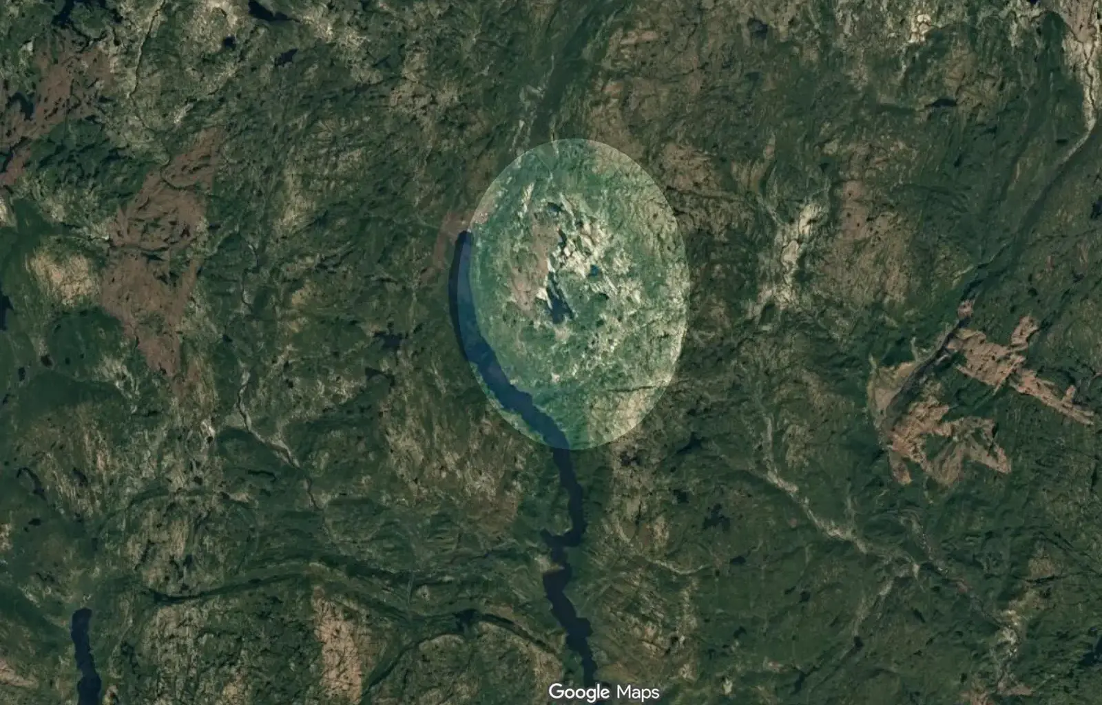
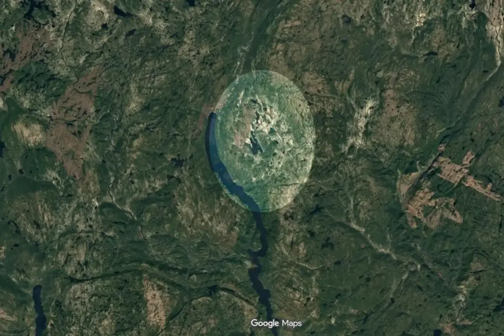
 One of the key things geophysicists look for is evidence of shock metamorphism, which can only occur due to the immense pressures created by asteroid or comet impacts. Joël Lapointe’s discovery via Google Maps contained evidence demonstrating such a shock. Credit: Google Maps
Amateur astronomer Joël Lapointe discovered a 25-kilometer (15.5-mile) circular depression in Quebec’s Côte-Nord region while using Google Maps to plan a camping route. Scientists have now confirmed that the structure is a meteor impact crater formed about 390 million years ago. The site, centered around Lake Marsal, is one of roughly 200 confirmed impact craters on Earth and one of 31 known in Canada. Researchers named it Uhaachatik Crater after consulting the Ekuanitshit Innu council, which represents the Indigenous community in the area. The confirmation followed a field expedition that found geological features created by the extreme pressure and heat of a meteor impact.
Google Maps revealed the shape of the ancient crater
Lapointe noticed the formation in 2024 while examining satellite imagery of the remote Côte-Nord region. The circular depression measured about 25 kilometers (15.5 miles) across and formed an almost complete ring around Lake Marsal. Its shape led him to contact French geophysicist Pierre Rochette, who said the topography suggested an impact crater.
A circular depression alone cannot prove that a meteor created a geological structure. Erosion, volcanic activity and tectonic processes can also produce large features that appear unusual from above. Scientists therefore look for physical evidence that records the extreme conditions produced during an impact.
Initial samples from the site contained zircon, a mineral that can preserve evidence of geological events over very long periods. The finding supported further investigation but did not by itself confirm the crater’s origin. Researchers needed evidence of the shock pressures associated with a high-speed impact.
Planetary geologist Gordon Osinski led a team that visited the site in October 2025. The expedition crossed rough terrain in a remote area of Quebec, where the researchers examined rocks exposed across the suspected structure. The fieldwork allowed scientists to test whether the landscape’s shape matched the geological evidence beneath it.
The team found shatter cones, distinctive rock structures created by shock waves moving through solid rock. These structures form under the extreme pressures associated with major impacts and are among the geological features scientists use to identify impact sites.
The researchers also identified large exposures of impact melt rock. An impact can generate enough energy to melt parts of Earth’s crust. When that material cools and solidifies, it can preserve evidence of the event long after the crater itself has changed through erosion and other geological processes.
The team collected rock samples and dated the crater to about 390 million years ago. The impact occurred during the Devonian Period, a geological interval that lasted from about 419 million to 359 million years ago.
Uhaachatik Crater adds a rare large impact site to Canada’s record
The crater’s size makes the discovery unusual. Most newly identified impact craters measure less than 5 to 10 kilometers (3 to 6 miles) across, according to Osinski. Researchers know of roughly 200 confirmed impact craters on Earth, and Canada accounts for 31 of them.
Canada boasts a high concentration of identified impact craters due to its vast expanses of ancient, exposed bedrock, particularly within the stable terrain of the Canadian Shield. Geological evidence can survive for long periods in such regions, although erosion, glaciation and other processes can also alter or obscure the original shape of an impact site.
The last meteor crater confirmed in Canada was identified in 2010. The Uhaachatik discovery effectively ends a 15-year hiatus in the country’s archaeological record, establishing a vital new confirmed site.
The name reflects consultation with the Ekuanitshit Innu council. Researchers chose Uhaachatik Crater after discussions with the Indigenous community connected to the region. The naming process adds a local cultural connection to a site that scientists initially identified through satellite imagery and later confirmed through field geology.
Field teams must examine the rocks themselves. They look for evidence of shock pressures, melting, and deformation that other geological processes cannot easily reproduce. In this case, researchers found shatter cones and impact melt rock at the site.
The scientists plan to continue studying the samples collected during the expedition. Further analysis may provide more information about the impact and the structure’s later geological history.
Key facts about the discovery:
Location: Quebec’s Côte-Nord region, centered around Lake Marsal.
Diameter: about 25 kilometers (15.5 miles).
Age: approximately 390 million years.
Discovery on satellite imagery: 2024.
Field investigation: October 2025.
Confirmed geological evidence: shatter cones and impact melt rock.
Name: Uhaachatik Crater.
Lapointe had initially been looking for a camping route. The satellite image instead drew attention to a geological structure that had remained unconfirmed for hundreds of millions of years.