
Brown said 7.30am was expected to be the peak and if the generators are at maximum capacity, power companies could step in.
“[Transpower] engage with the sector and work through to make sure there’s enough residual in the system.
“If things get tighter there is still controllable load which effectively is people’s hot water cylinders, which distributors are able to turn off for what’s required.”
He said peaks generally lasted 30 to 60 minutes and the turning off of cylinders “wouldn’t be noticed by people at home”.
Transpower said yesterday’s electricity peak was the highest power use ever recorded.
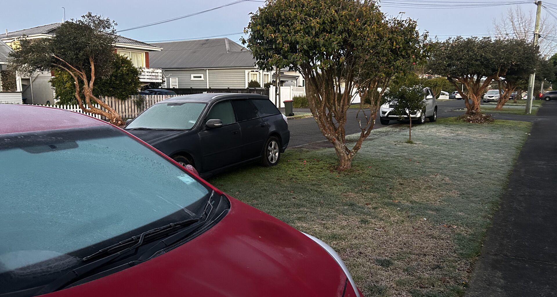
Frosts blanket Northland this morning as temperatures fall to freezing across New Zealand. Photo / Denise Piper
The coldest temperature in the country this morning was -9.7C at Mt Cook – though it feels more like -13C, according to the MetService website. That’s not far off its coldest temperature this year of -11.5C last month.
Christchurch dipped to -3.7C overnight – about 5C below its average overnight minimum – while Queenstown woke to -5C and Invercargill -4C.
In Alexandra, frozen pipes forced the closure of the toilets at BMX park and Molyneux Park, the Central Otago District Council said.
In the North Island, the coldest town this morning was Taumarunui at -5.6C. Hamilton was at -2.6C, Taupō just under -2C and Rotorua -2.5C, according to MetService.
In the winterless north, Kaitāia had dipped to 0.4C at 6am, with MetService describing it as feeling like -3C.
Auckland dipped to 2.7C overnight and is currently on 3.5C, though MetService says it feels like 1C.
Parts outside central Auckland have awoken to subzero temperatures. At 8am Waitākere and Hunua were both on -2C, while Whenuapai in the city’s northwest sat at -1.8C with a ‘feels like’ reading of -4C.
MetService meteorologist Katie Lyons told the Herald that clear skies and a frigid Antarctic air mass had created ideal conditions for severe frosts.
“Those clear skies just mean that there’s no blanket to trap any of the heat, so it’s all just escaping out to the atmosphere,” she said.
Much of Auckland was in the “frost risk zone”, Lyons said, with anything from -2C to around 4C forecast last night.
“I hope anyone who has sensitive plants managed to tarp them or bring them inside.”
MetService warned that frosty conditions could cause icy roads and urged motorists to take extra care this morning.
Much of Auckland is in the “frost risk zone”. Photo / Anna Heath
Despite the freezing starts, much of the country could expect sunny, dry conditions during the day, Lyons said.
“We’re very focused on these cold temperatures because it is really cold, but places will see lots and lots of sun about the country.”
The cold snap followed an Antarctic blast that brought snow, sleet and hail to parts of the country on Tuesday, causing travel chaos in parts of the South Island and even snow flurries in Wellington.
While this morning would bring the coldest conditions for much of the South Island, Lyons said parts of the North Island could become even colder overnight into Friday.
“We’re still in winter, so the days are still quite short. We’ve still got lots of night-time for that heat to radiate out to the atmosphere.”