
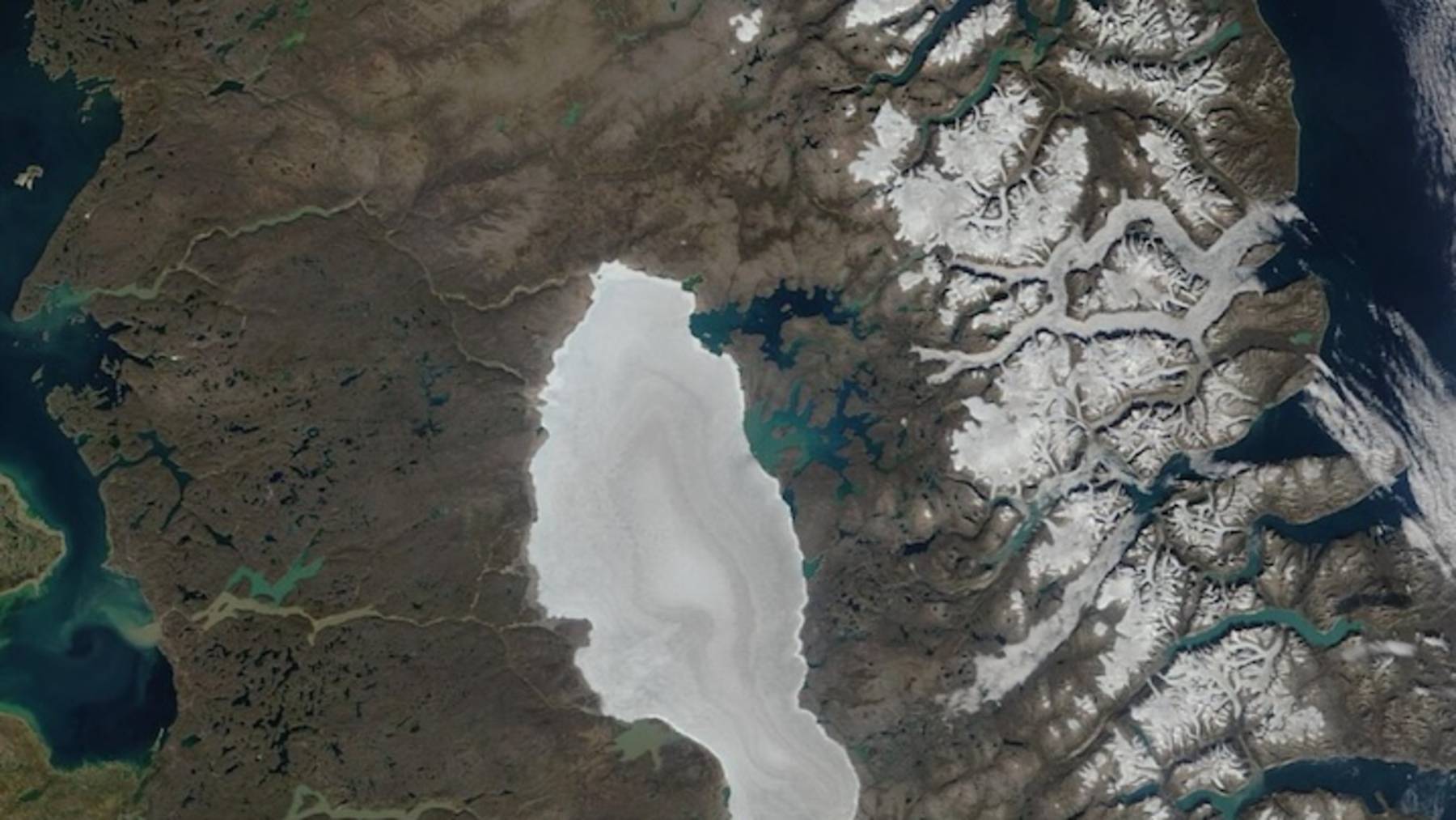
For thousands of years, the Barnes Ice Cap has held its ground on Baffin Island — a remnant of the last ice age, reliably blanketed in snow through the height of summer. By mid-July 2026, that snow was essentially gone.
NASA satellite imagery tells the story in two frames: a snow-covered ice cap on June 16, and by August 11, a surface stripped nearly bare. What the images captured wasn’t a routine seasonal shift — it was something without precedent in the entire satellite record.
A relic of the ice age, stripped bare
The Barnes Ice Cap isn’t just old — it’s ancient in a way that’s hard to fully grasp. It formed as a surviving fragment of the Laurentide Ice Sheet, the massive glacial system that once buried much of North America during the last ice age. While the rest of that great sheet retreated thousands of years ago, Barnes held on, perched on Baffin Island in Canada’s Arctic Archipelago.
Its persistence made it scientifically significant. Researchers have long studied it as a living connection to glacial-period conditions — a frozen record of a world that no longer exists. Part of what kept it stable was a reliable layer of seasonal snow that would melt back gradually through summer, historically enduring well into the warmer months. Losing it entirely by mid-July had simply never been recorded before.
What NASA’s satellites captured
The evidence came from the MODIS instrument — the Moderate Resolution Imaging Spectroradiometer — aboard NASA’s Terra platform. MODIS has been acquiring detailed imagery of Earth’s surface for decades, making it one of the most consistent tools scientists have for tracking changes in ice and snow cover over time.
The comparison it produced this year is stark. On June 16, the ice cap appeared as it typically does: blanketed in white, snow cover intact. By August 11, that same surface looked dramatically different — the snow essentially gone, exposing darker ice and rock beneath. But the August image isn’t even the most telling part.
Related
According to NASA Earth Data, the ice cap was already snow-free by mid-July — weeks before the later photograph was taken. The loss happened both earlier in the season and faster than anything previously captured in the satellite record. The August image simply confirmed what had already occurred.
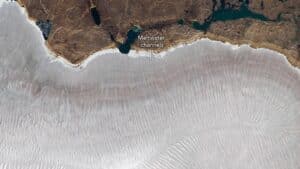
Close-up of the Barnes Ice Cap’s northeast side dated July 12
Why losing snow cover makes things worse
Snow is remarkably good at reflecting sunlight. Its bright surface bounces solar energy back into the atmosphere rather than absorbing it — a property scientists measure as albedo. The Barnes Ice Cap’s seasonal snow cover has historically acted as a kind of thermal shield, limiting how much solar energy the underlying ice absorbs.
When that snow disappears, the dynamic shifts fast. Exposed ice is darker than snow, and bare rock darker still. Both absorb significantly more solar radiation, converting it into heat at the surface — heat that accelerates melting beyond what would occur if the snow were still present.
This is the ice-albedo feedback loop, and it compounds on itself. Earlier snow loss drives more absorption, which drives faster melting, which prevents snow from re-establishing. An early snow-free date isn’t just a sign that something unusual happened — it actively worsens the situation by triggering a cycle that amplifies further ice loss through the remainder of the melt season.
A record that rewrites the baseline
When scientists say something is the earliest in the satellite record, they’re pointing to a specific and meaningful benchmark. Consistent satellite observation of Earth’s polar regions has built up a reliable baseline over decades — a reference point for what “normal” looks like. Surpassing that record means the event fell outside the entire observed range of variability, not merely toward its edge.
Related
For a body of ice already considered vulnerable, that distinction matters. The Barnes Ice Cap sits at a relatively low elevation compared to ice caps farther north, and its location places it in a zone where warming trends are already pronounced. Glaciologists have noted that it faces greater exposure to warming than more elevated or polar counterparts.
What 2026 may be signaling is that the Barnes Ice Cap is approaching — or has already crossed — a threshold where the pace of change accelerates beyond recovery between seasons. Whether this year represents an outlier or a new pattern won’t be clear immediately.
But it’s worth sitting with the scale of what happened: ice that survived the end of the last ice age, that outlasted civilizations, lost its seasonal snow cover faster than any instrument has ever recorded. That’s not a routine data point. It’s an invitation to reconsider how much we’ve already changed the conditions that allowed it to survive this long.
Read the whole thing?
Get the week’s signal, not the noise
Our sharpest reporting on energy, climate and nature — free, once a week.