
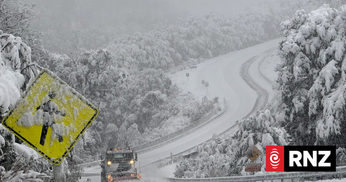
Fire and Emergency says Queenstown firefighters have responded to a number of reports of flooding and slips in the area on Thursday night.
A FENZ spokesperson said crews were using pumps to drain water away from a commercial building in Hansen Rd, Frankton, while another team was working to clear mud and water washing down the hill near a residential property on Arthur’s Point Road.
They were receiving reports of cars aquaplaning on inundated roads and crews had attended an abandoned vehicle which had become submerged in floodwaters on Kingston Road, Frankton earlier in the evening.
Evacuations from homes or buildings had not been necessary, the spokesperson said. They described the current situation as “busy but not manic”.
People in parts of Queenstown were also being asked to conserve water after a slip affected a water treatment plant.
Queenstown Lakes District Council said the Two Mile Water Treatment Plant was offline and water supply to some areas was relying on existing reservoir storage.
It said crews were working hard to restore normal service as soon as possible but conditions were challenging and repairs may take some time.
In the meantime homes and businesses in Fernhill and Sunshine Bay, the Queenstown CBD and Frankton Road should reduce their water use where possible.There is currently no need for a boil water notice.
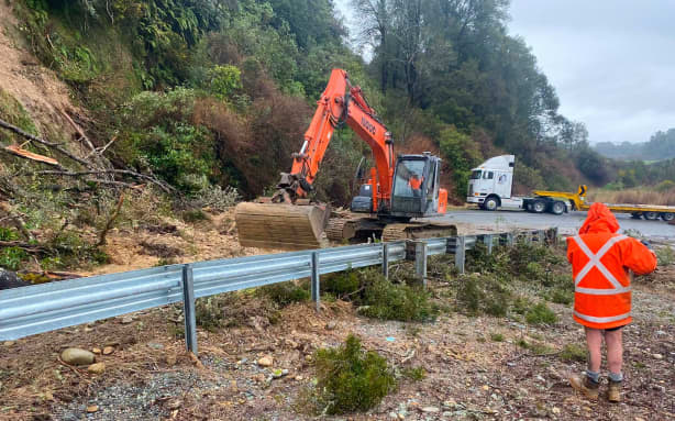
A slip on the road between Blackball and Atarau.
Grey District Council
Fire and Emergency urged people to avoid any unnecessary travel and take extreme care if they must drive in affected areas.
“Especially in the hours of darkness, it really heightens the possibility of a serious incident. The potential is much higher to hit floodwaters before you see them and [that] can have serious consequences.
“If you can not put yourself in a situation, don’t,” the spokesperson said.
Highways would be monitored overnight for any further flooding and slips, with more heavy rain expected to fall.
Orange heavy rain warnings cover Westland and headwaters of lakes and rivers in Otago and Canterbury, with a separate warning starting from midnight for the Grey and Buller ranges.
An area warning for surface flooding will remain in place overnight, covering the 278 kilometre stretch of State Highway 6 from Haast to Hokitika.
The Transport Agency said all highways except part of State Highway 94 to Milford Sound were open.
Any motorists travelling Thursday night were encouraged to check the forecasts and status of highways first.
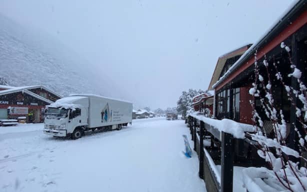
Heavy snow at Arthur’s Pass.
Sean Moran
Wet weather triggers avalanche warnings
Parts of the South Island were hit with heavy rain and snow on Thursday, closing roads and triggering severe avalanche warnings.
More than 20 centimetres of snow fell in some parts of the South Island, closing state highways.
Large avalanches were expected to run to the valley floor in some areas as heavy snow prompted multiple alerts for very dangerous conditions.
People were urged to stay out of the backcountry until the stormy weather had passed and snowpack conditions settled.
The Avalanche Advisory Council had its second highest danger warning in place for Arthur’s Pass, Aoraki Mount Cook, Ohau, Queenstown, Wanaka, Fiordland and Aspiring.
A considerable avalanche risk was also in place for Craigieburn Range, Mount Hutt, Two Thumbs and Nelson Lakes.
The council’s advisory said Aoraki Mount Cook had already received plenty of snow and rain with more snow predicted.
More than 3.5 metres could have fallen on the Tasman Saddle over recent days, the advisory said.
The advisory said the risk at Arthur’s Pass meant large avalanches were expected to reach the valley floor and people should keep out of runzones which included tramping terrain.
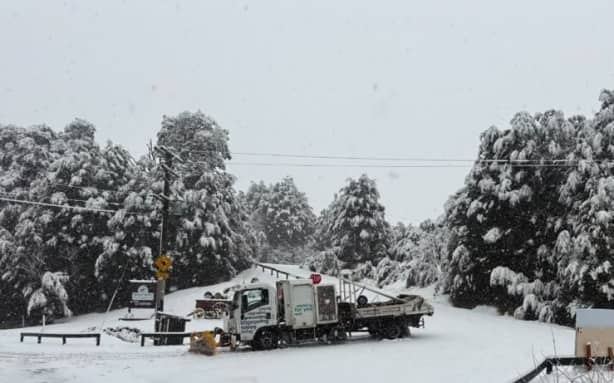
State Highway 73 which was closed earlier in the day but has now reopened.
NZTA / Waka Kotahi
In Queenstown, the advisory said local ski fields had reported multiple natural and ski-triggered loose wet avalanches.
Mountain Safety Council chief executive Mike Daisley said the return to blue skies could be deceptive and there would be a lot of instability in the snowpack.
“Currently across the whole southern alpine region, it’s what we describe as quite treacherous conditions and people that are thinking about exploring the backcountry, be that hunters, trampers, skiers, snowboarders … we highly don’t recommend any travel in that backcountry at the moment,” he said.
It was not just high alpine areas that were at risk.
The size and scale of the potential avalanches could run all the way down to the valley floor in some areas, crossing paths and tracks that were not in alpine terrain, he said.
A worker at Aoraki Mount Cook’s Hermitage Hotel said he had heard avalanches rumbling on the mountains as snow battered the area.
Hotel activities manager Tim Thorstensen said Mount Cook Village had had a huge dumping of snow.
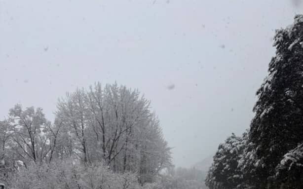
More than 20cm of snow fell in parts of State Highway 73.
NZTA / Waka Kotahi
Heavy rain, rising rivers ahead on Friday
MetService meteorologist Devlin Lynden said the storm was expected to weaken as it moved across the country and the worst of the snow had passed, but areas of heavy rain would persist into Friday.
More than 300mm of rain had been recorded around Franz Josef by 2pm on Thursday with more expected to fall.
Environment Canterbury said the rivers were expected to rise further on Thursday night and Friday morning and remain high through Friday.
Moderately high flows have been reported for the Rangitata, Rakaia, Waimakariri, Hurunui, and Waiau-uha rivers.
Ashley, Selwyn, Ashburton, Orari and Opihi rivers are all flowing slightly higher.
Out-of-river flooding was unlikely despite heavy rain and snow falling on headwaters of major alpine rivers.
See how the day unfolded below: