
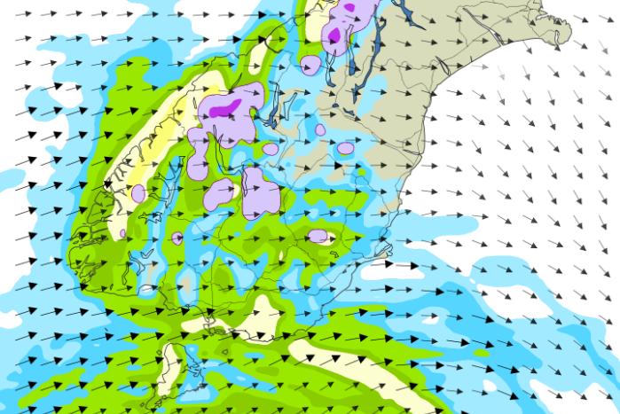
A cold front could bring snow to near sea level in Dunedin Monday night as MetService issues strong wind watches and road snowfall warnings for Otago and Southland.
The forecaster said the southwesterly front would bring snow to 500m in Dunedin, Southland and Clutha on Sunday night, lowering to near sea level Monday night.
A strong wind watch has been issued for Southland, Clutha and Dunedin, extending north to Waikouaiti and Middlemarch.
The watch runs for 27 hours from 9am Sunday to noon on Monday.
Westerly winds may approach severe gale in exposed areas, gusting to 100kmh.
Caravan hit by strong winds
A police spokeswoman said they were called to the scene of a crash involving a caravan that had blown over in strong winds on State Highway 1 north of Balclutha at about 12.15pm Sunday.
The road is under stop/go traffic management, just south of the Paterson Rd intersection, while debris is cleared.
No injuries were reported in the crash.
Snow expected on mountain passes
For inland areas, road snowfall warnings have been issued for Lindis Pass, Crown Range Rd, Milford Rd and Arthur’s Pass in Canterbury.
Snow is expected to fall above 800m Sunday afternoon, lowering to about 400m by Monday evening.
Spring is set to arrive just in time for the start of September though, with temperatures rising to 18degC by midweek.