
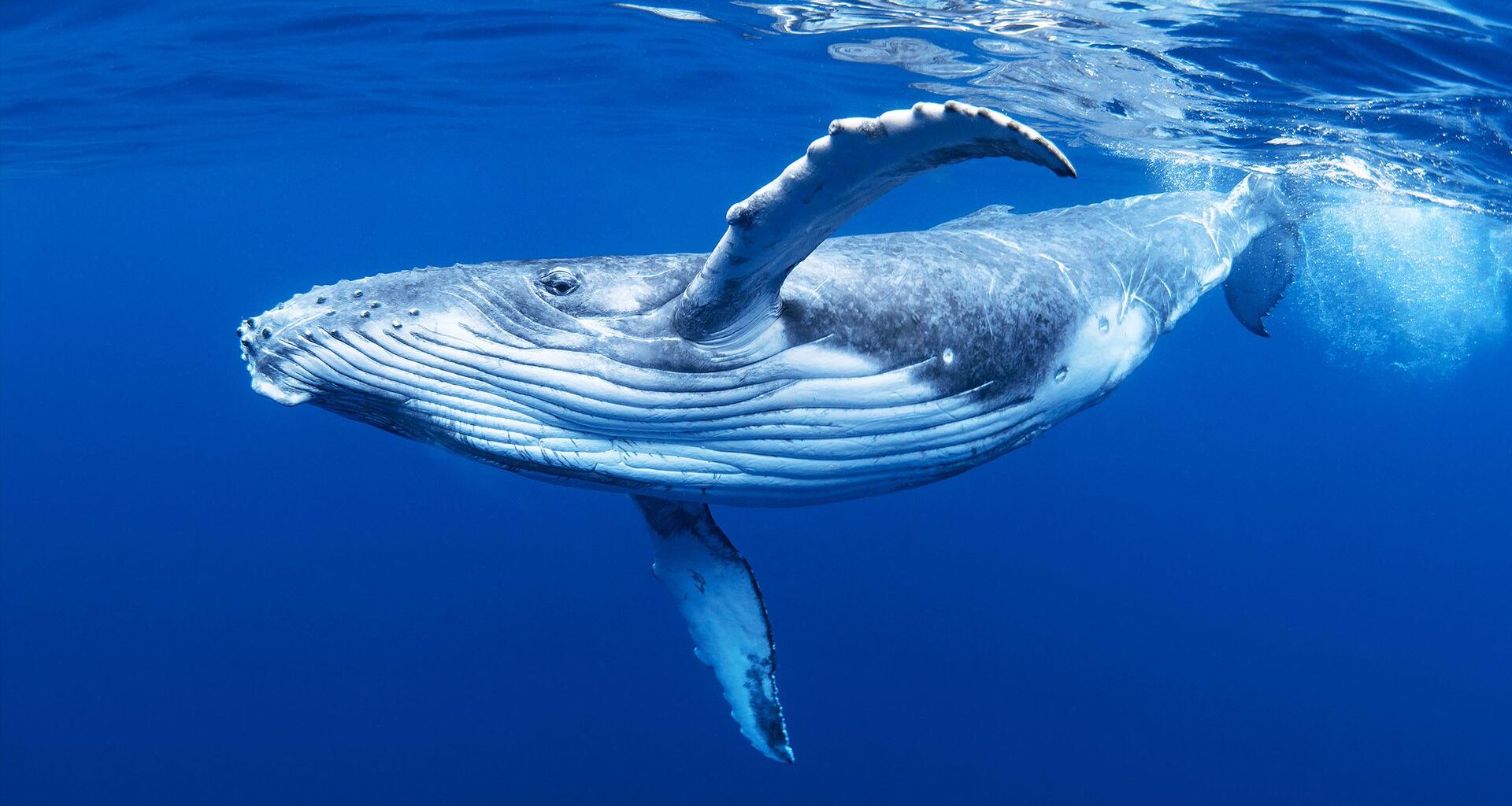
Scientists predicted how many blue, fin, and humpback whales were in the waters off California using only the DNA that microbes and plankton leave behind in seawater.
A jar of seawater holds more information than meets the eye. Whales, their prey, and the microbes around them all shed genetic material into the water. A team of marine ecologists and statisticians has now read that material almost like a census form.
Researchers at the Scripps Institution of Oceanography at UC San Diego teamed up with statisticians at Cal Poly in San Luis Obispo.
Together they built models that predict how many baleen whales occupy a stretch of the California coast. The models run on nothing more than the microbial and plankton communities found in water samples.
The approach worked far better than the team expected. Groups of DNA sequences explained 81-99% of the variation in estimated whale density. The record covered three species across seven years.
Counting whales is hard
Whales spend most of their lives underwater and range across thousands of miles of open ocean. They surface briefly and unpredictably.
Scientists have built an entire toolkit to work around these challenges. Observers count whales from ships and planes. Researchers match individuals through photo catalogs of their tails and fins. Others attach satellite tags or listen for whale calls with acoustic surveys.
Each method has blind spots. Visual surveys only work in daylight and decent weather. Tags are expensive and difficult to deploy. Sound recordings miss whales that stay quiet.
The new study asked whether the ocean itself could fill some of those gaps.
DNA in a water sample
The team drew on the California Cooperative Oceanic Fisheries Investigations (CalCOFI), the world’s oldest marine ecosystem monitoring program. CalCOFI has sampled the waters off California since 1949. Its cruises pair visual whale surveys with water collection at the same stations.
The study covered blue whales (Balaenoptera musculus), fin whales (Balaenoptera physalus), and humpback whales (Megaptera novaeangliae).
All three feed in the region. Whale densities were derived from visual sightings during quarterly cruises between San Diego and Morro Bay from 2014 to 2020.
For the genetic side, the team filtered seawater collected during the same cruises. They sequenced two marker genes: one for bacteria and one for small organisms, such as plankton. Environmental DNA (eDNA) identifies what lives in the water by matching sequences to reference databases.
What the models found
Statisticians at Cal Poly then searched for communities of microbes and small plankton whose presence tracked whale numbers. They found them. Sets of 23 to 60 distinct DNA sequence variants tracked each whale species. The models predicted density to within roughly one whale per 386 square miles (1,000 square kilometers).
The new models were tested against simple baselines that carry forward or average seasonal patterns. They cut prediction error on held-out data by up to an estimated 65%. Cal Poly reported that predictions were 53% more accurate than traditional forecasts on average.
“The concept of this project was to try and find an indirect signal,” said Trevor Ruiz, an assistant professor of statistics at Cal Poly. Ruiz co-led the study. The team also released its software so other researchers can apply the method elsewhere.
Why whale forecasts matter for ships
Knowing where and when whales are is not an academic exercise. Collisions with vessels are a leading cause of death for large whales. NOAA Fisheries notes that crews of large ships often never notice a strike.
A 2024 study in Science found that shipping traffic overlaps with 92% of the ranges of blue, fin, humpback, and sperm whales. Fewer than 7% of the highest-risk areas had any protection in place.
Speed limits and rerouting programs only work if managers can anticipate when whales will concentrate in a shipping corridor. Better density forecasts, drawn from routine water sampling, could feed directly into that kind of decision.
Tiny life tied to giant whales
The predictive communities were not random noise. The 148 taxonomic groups the models identified showed real ecological structure.
About 20% were shared across all three whale species, while 59% were unique to a single species. Each whale, it seems, keeps its own microbial company.
The team also combed the scientific literature for known connections. Nearly a quarter of the predictive taxa were already documented as whale prey, parasites, or skin microbes. Another 36% had no documented link to whales at all. That leaves plenty to investigate.
“Many approaches rely on indirect environmental proxies,” said Erin Satterthwaite, a marine ecologist affiliated with Scripps Oceanography.
Her point is that variables like sea surface temperature sit several steps removed from whale biology. The DNA in the water sits much closer.
Limits and next steps
The models describe statistical association, not mechanism. The researchers caution that more work is needed to understand how these organisms function together and interact with whale ecology.
Still, the costs of eDNA sequencing keep falling, and the technique keeps getting easier to use in the field. The authors suggest the same approach could map other large, elusive-to-track animals. Sharks and big open-ocean fish are candidates.
Whale populations provide scientists a general read on ocean health. If a water sample can say how many whales are nearby, monitoring them gets cheaper and faster. It also gets a little less dependent on luck.
The full study was published in the journal PLOS One.
How to get involved
Report whale sightings through Whale Alert if you spend time on the water, since the free app feeds real-time sighting data to mariners and managers working to prevent ship strikes.
Upload your whale photos to Happywhale if you go whale watching, because the platform matches tail fluke images to individual whales and shares the records with researchers.
Volunteer with The Marine Mammal Center if you live near the California coast and want hands-on work, as the center rescues and rehabilitates stranded marine mammals and trains community volunteers.
Support Whale and Dolphin Conservation if your priority is policy change, because the group campaigns for mandatory vessel speed limits and stronger protections in whale hotspots.
Explore the CalCOFI data if you are a student or educator. The program makes decades of ocean monitoring data freely available for classroom and research use.
—–
Like what you read? Subscribe to our newsletter for engaging articles, exclusive content, and the latest updates.
Check us out on EarthSnap, a free app brought to you by Eric Ralls and Earth.com.
—–