
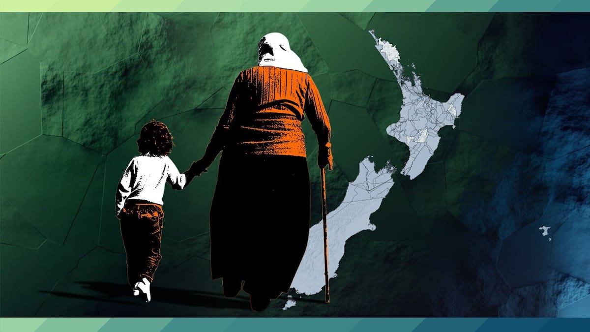
Wherever you live in New Zealand, there’s a story – but most of us have no idea what it is. Now we can find out. Two years after the Herald launched Whenua: Our land, our history, data editor Chris Knox updates the map of Aotearoa with
official historical accounts and asks historian Rachel Buchanan what these Treaty settlement documents tell us about our national story.
If you’ve ever wondered about the history behind your home, town or suburb, you can now find it on a map covering most of New Zealand.
The stories behind each place – searchable on our updated Whenua map below – come from more than 80 historical accounts agreed between the Government and iwi under Treaty of Waitangi settlements in the last 30 years.
Between them, these historical records cover most of the country, except for a large portion of Northland, an area of Rangitīkei and part of East Cape, where there are still no settlements. In other areas, not every iwi with a historical interest has settled, but you can still see the accounts from tribes that have reached agreements.
To see a place’s land history, click on a location on the map or enter a place name in the search bar. (The accounts are extracted from the original documents as close to verbatim as possible.)
The stories on the map show how the Crown often purchased land for a pittance and ignored its legal obligations afterwards.
For example, if you live in the central suburbs of Auckland, such as Mt Eden, Mt Albert or Pt Chevalier, you can see how the Crown bought – and rapidly resold – those 5260ha (13,000 acres) of land from Ngāti Whātua Ōrākei for £200, four horses, 30 blankets, 10 cloaks, one tent and a desk.
Wellingtonians may be surprised to learn that prime land in the city was sold to prospective settlers in London by the New Zealand Company before it had even arrived in New Zealand.
In the South Island, Ngāi Tahu was protesting that the Crown wasn’t keeping its side of the bargain from as early as the 1840s.
And in Bay of Plenty, two men who led a military campaign that confiscated 991,148ha (245,000 acres) of land were appointed to rule on the legality of the seizure – they found it valid.
A common theme is that the Crown failed to uphold its end of the deal. For instance, the 2428ha (6000-acre) Kohimarama block in Auckland was purchased for £100, a boat, livestock, clothing, tools and dry goods. Ngāti Paoa testified that they were promised land at Saint Georges Bay as part of the purchase. The land was never set aside.
These accounts, agreed between individual iwi and the Government, have formed part of our official history since the treaty settlement process began in the 1990s.
Yet they haven’t filtered down into popular consciousness. In her account of Parihaka, Ko Taranaki Te Maunga, historian Rachel Buchanan wondered why.
Explaining how the process works, she wrote: “Employees of the Crown work with iwi employees [actually, more likely iwi volunteers] to research and write deeds of settlement, including negotiated historical accounts.
“The accounts are peer-reviewed by independent eminent historians.
“The deeds are signed and published on the Office of Treaty Settlements’ website … and then what? … Do schools teach them? Do textbooks refer to them?”
Buchanan, who is a member of Te Pouhere Kōrero Māori Historians Network, told the Herald the accounts were “most certainly worthy of a lot more attention and celebration” as they corrected a one-sided view of New Zealand history.
She described them as “as negotiated histories that draw on iwi understandings that can remain obscured or ignored in mainstream accounts”.
The accounts were not the way history was normally recorded, firstly because they were legal documents, Buchanan said.
“Each paragraph is numbered like a bit of legislation, and you don’t find that in any history book.
“That’s because they are actually produced through argument or debate and then they’re agreed upon.”
In the Taranaki and Parihaka agreements, she remembered “a really intense debate” over whether the word rape should be used – eventually it was.
“It is so unusual for history to be made in that way, but it reflects how things are done on the marae.”
The accounts range from the 69-line Waikato-Tainui account which begins with, “1863-1864 the Crown engaged in a war against Maaori [sic] in the Waikato [sic], causing suffering to the people there”, to more than 3000 lines for their Ngāti Maniapoto neighbours.
They paint a picture of a nation built on a slippery relationship with due process and contracts, with little to no respect for Māori ownership.
A common refrain in the historical account is problems arising from the “10-owner rule”. Māori traditional ownership of land was communal, but land-hungry settlers found this frustrating, as they often didn’t know who to deal with.
The 10-owner rule was the start of the Crown’s attempt to fit Māori land into the European land system. The Native Lands Act 1865, set up to create legal titles for Māori, only allowed a maximum of 10 owners for any given block of land. Often this meant the recorded owners were only a subset of those connected with the land.
Ngāti Tūwharetoa’s account says the iwi later “petitioned for the cancellation of their 10-owner title ‘because it is wrong that the Crown grant should have effect over the land of all the people, men, women, and children, we strongly object to that system’.”
“They appealed to have all the owners included on the title for the block, but were unsuccessful.”
In other cases, those who were listed as owners had little or no connection with the land. The Ahuriri Hapū account for the modern-day Napier area states, “In 1891, Pāora Kaiwhata recalled that at the first hearings, ‘The judges told us to go outside and choose 10 men for each block of land, and that the 10 would act for the people’.”
Surveying was also used by the Crown to encourage or force the sale of land. The Tūhoe account records, “the survey of Tahora 2 was conducted in secret, without authorisation and contrary to survey regulations. It was then approved by the Surveyor General, despite significant opposition from Tūhoe and other right holders. The unwanted survey cost the owners 16,658 acres [6741ha] of the block”.
The Crown often did not hold up its side of the bargain, particularly over promises to set aside land and build roads, schools and hospitals.
The Tūhoe account reveals that an important factor in the tribe’s original agreement was the promise of roads for the remote, bush-covered hills of Te Urewera in the eastern North Island. But the Government did not complete the roads, even though Tūhoe had contributed 16,187ha (40,000 acres) of land valued at £20,000, about $2.4 million today, for this purpose.
In Auckland, both Bishop George Selwyn and Governor George Grey recorded the Crown’s failure to carry out its obligations. Ngāti Whātua Ōrākei’s account records: “The Government’s failure to set aside money for the endowment fund was criticised by Bishop Selwyn, who stated: ‘By this fund, we hoped that schools, hospitals, hostelries, would be built; that every useful art would be taught; every habit of civilization [sic] introduced; and the whole social character of the people changed for the better … I am sorry to be obliged to state that not one of these objects has been accomplished, or rather that not one has been attempted’.”
The same account also records that another “fund was not drawn upon until 1862, when part of it was used to build a bridge between Ōrākei and Remuera [which was also of general benefit to all Auckland residents]”.
About 15% of the North Island was confiscated from iwi who were “in rebellion” against the Crown. Some of this land was later returned when the confiscations were found to be excessive or taken from iwi who were not involved in the conflict, but the process of returning the land often created more problems.
Ngāti Awa’s account records that the Crown confiscated 99,148ha (245,000 acres) from the tribe, some from hapū who had no involvement in the conflict. A court was set up to compensate anyone who had “suffered land confiscation” when they hadn’t “been in ‘rebellion’”, but the two judges had both played important military roles on the Crown’s side of the conflict. Unsurprisingly, they found most of the confiscations were valid – a further injustice eventually acknowledged by the Crown in the settlement agreement almost 150 years later.
Similarly, Ngāti Tūwharetoa lost its Tarawera block (about 31,000ha or 76,700 acres) and the Tataraakina block (about 15,000ha or 37,000 acres) in the 1867 Mōhaka-Waikare confiscation but never got them back.
The central North Island tribe’s account reads: “Under the terms of the 1870 deed, these blocks were awarded to a small number of individuals from another iwi.”
Buchanan said the historical accounts were valuable as a snapshot in time but it was also helpful to look through a Māori lens, which viewed history as always evolving and changing.
“If you wrote a historical account now of the region in Wellington central, maybe there’d be some different observations,” she said.
“It’s something close to us all and I think that’s important for everyone. Whether you’re Māori, Pākehā or have a combination of everything – or something completely different – it’s an invitation to think about history as something living.”
Chris Knox is a scientist turned data-journalist who investigates the stories behind the numbers and creates interactives for Herald readers to explore them.
SaveShare this articleCopy LinkEmailFacebookTwitter/XLinkedInReddit
Tags:
- 20
- about
- Accounts
- after
- aotearoa
- asks
- Buchanan
- chris
- Data
- Deals
- documents
- editor
- find
- have
- herald
- historian
- historical
- histories
- history
- idea
- in
- knox
- land
- launched
- live
- Map
- moripkeha
- most
- National
- new
- New Zealand
- News
- NewZealand
- NZ
- official
- out
- rachel
- settlement
- showing
- Story
- tell
- theres
- these
- treaty
- updated
- updates
- what
- whenua
- wherever
- with
- years
- zealand