
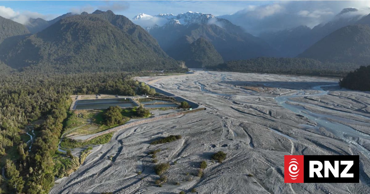
A leading New Zealand hydrologist says Franz Josef is only one flood away from disaster as the Waiho (Waiau) River bed continues to rise at an alarming rate.
Waiho Technical Advisory Group (TAG) member and hydrologist Ian Fuller said the Waiho (Waiau) riverbed has been rising by 20cm a year due to gravel build up caused by the retreating Franz glacier.
The advisory group last week warned the flooding risk at Franz Josef Glacier has escalated and now poses a risk to life.
Fuller told West Coast Regional councillors and residents in the Franz Josef area during briefings that the riverbed in front of the stop banks is now two metres above the ground on which the settlement of Franz Josef sits behind – and rapidly rising.

Fuller told Local Democracy Reporting that while the riverbed has risen due to natural processes, this has been exacerbated by the network of historic and newer stopbanks at Franz Josef.
“There has been an acceleration of filling of the riverbed adjacent to Franz Josef township in response to stopbank construction in the 1980s.
“What that has done is it has confined it to a third of the area it would naturally occupy.
“Rather than being able to spread the load across a wide area, that cannot be spread anymore, it is confined between the stopbanks, so rather than spreading naturally, it is building vertically.”
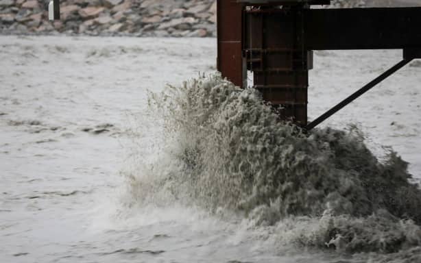
Franz Josef faces a growing threat from the unruly Waiho River.
RNZ/Nathan Mckinnon
Fuller also reinforced the riverbed buildup risk will accelerate due to “millions of cubic metres” of sediment deposited in the upper valley above the State Highway 6 bridge.
“There is a lot of material stored up in that area, which is, in the last three years, waiting to be remobilised and move down the river.
“We believe that will happen once there are big enough storms to start remobilising that.”
He said the “overdue” Alpine Fault earthquake is a real factor making addressing the issue even more urgent.
This was because it is expected to cause “significant landsliding” by releasing the radical sediment buildup in the upper valley at the glacier terminal downstream towards Franz Josef township.

Massey University Professor in Physical Geography Ian Fuller.
Ian Fuller / Supplied
Hydrologist Ian Fuller has said the stopbanks at Franz Josef are exacerbating the flood risks.
The Waiho Technical Advisory Group last week released six recommendations, reinforcing the message of the group’s strategy released in October 2023 – but with greater urgency.
Waiho strategy recommendations
The stopbank system in the area had in the past 30 years “effectively restricted the river to about one-third of its natural fan area”, increasing the risk to those living behind the banks.Additional environmental risk due to the high earthquake hazard in the area, with a 15 percent chance of a magnitude 8 Alpine Fault earthquake in the next 10 years.This would likely cause severe damage to stopbanks, “and trigger accelerated aggradation and flooding from land sliding in the catchment”.
The 2023 strategy also found the riverbed was rising at about 20cm per year near the State Highway 6 bridge, “about three times faster” than if the river could flow anywhere over its full bed.
It predicted increasing flood risk reducing the capacity of the stopbanks and making them “more vulnerable to overtopping or breaching” during floods.
Speaking to Local Democracy Reporting, Fuller reiterated the TAG’s main recommendation is still to pull down the stopbanks on the south bank to let the river fan out south of Franz Josef settlement across the Waiho Flat farming area.
“It will allow a more resilient response when we have these big storm events moving this material down from the terminus of the glacier,” Fuller said.
“The river will be better set to be able to handle that supply of sediment.”
Fuller said it was “possible” the retreating Franz Josef glacier will impact the amount of sediment being deposited in the Waiho River even more, but it had yet to be quantified.
“What we are seeing is that since the rapid retreat of the glacier, we are seeing somewhat of a change in the form of the sediment in the upper valley.”
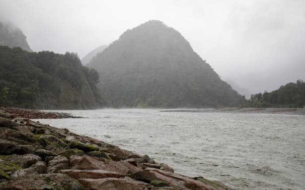
The Waiho (Waiau) riverbed has been rising by 20cm a year, sparking fears of a devastating flood. (file photo)
RNZ/Nathan McKinnon
West Coast glaciologist Dr Brian Anderson, of Victoria University, has previously warned the retreat of Franz Josef Glacier since 1999 is due to climate warming.
But Anderson told the Local Democracy Reporting it was not clear yet whether the Waiho riverbed was rising due to the retreating glacier.
“Obviously in a general sense the glacier has retreated and the bed levels have increased, but I think by drawing any direct link is quite hard,” he said.
“There are processes that you can think about, like the glacier retreating, the valley walls becoming destabilised, and more gravel coming down. But to make that link directly is quite hard. We just do not have enough data.”
Westland mayor Helen Lash recently announced the formation of a committee to come up with a masterplan for the Franz Josef area, and aimed to have a formal proposal ready for ministers early next year.
The Government has said it needs the masterplan so it can consider future funding applications around shifting infrastructure.
– LDR is local body journalism co-funded by RNZ and NZ on Air.