
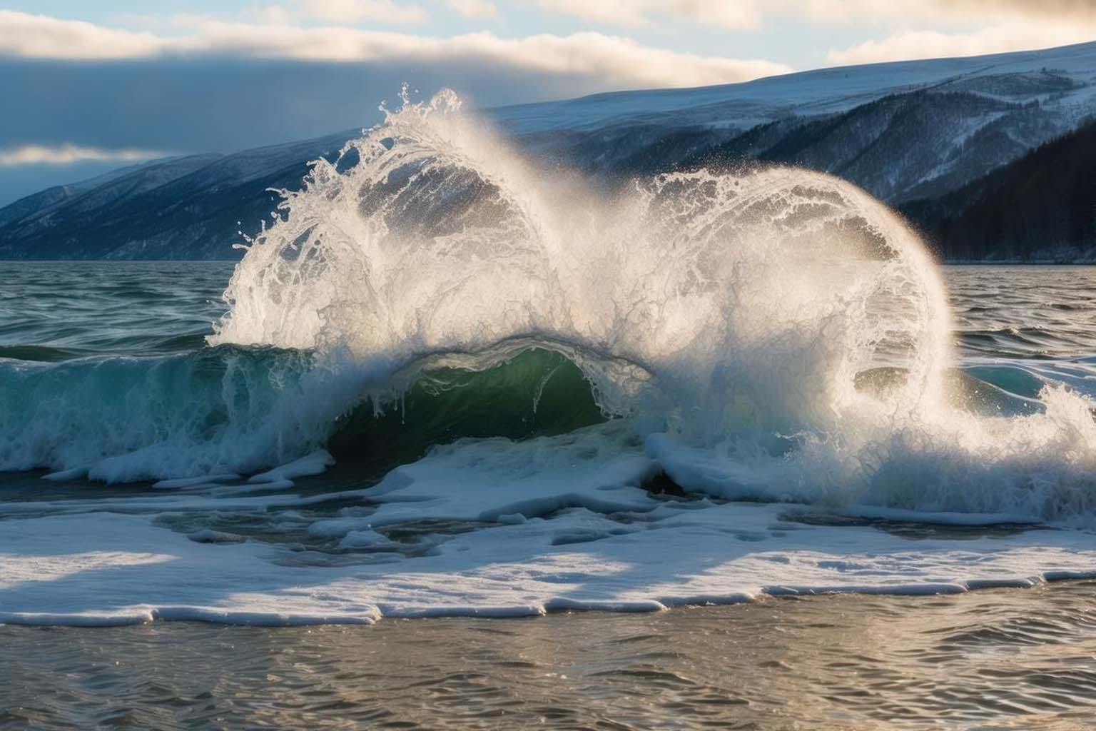
The oceans are rising faster than we ever imagined. Satellite data now shows that coastal cities are facing risks that climate models predicted decades ago. And this time, the evidence is impossible to ignore.
For years, scientists warned about rising seas—but now, the numbers are real, tracked from space with astonishing precision. The latest study, published in Earth’s Future in 2025, confirms that the sea level is climbing faster than expected, validating climate projections from the 1990s. From Miami to Mumbai, the implications are staggering.
The power of satellites in tracking sea level rise“The ocean’s billion-dollar treasure hunt” : strange metal potatoes on the seafloor spark a global rushScientists warn himalayan glaciers are melting at unprecedented speeds
Before satellites, humans relied on tide gauges and coastal markers to measure sea level changes. It worked, but it was slow and limited to specific locations. That all changed in the 1990s, when orbiting satellites began providing global measurements with unmatched accuracy. Suddenly, scientists could monitor every ocean basin, every coastline, every rise and fall—down to a few millimeters.
Torbjörn Törnqvist, a leading geoscientist at Tulane University, explains, “The ultimate test of climate projections is comparing them with reality—but it requires patience, decades of observation.” And the verdict ? Those early climate models, once criticized as overly cautious, were remarkably accurate. They anticipated the trajectory we’re now seeing, proving that even decades-old science can hold up when examined against modern data.
For me personally, this hits close to home. Growing up near a coastal town, I’ve seen the tides creep closer to the streets year after year. These satellite findings confirm what locals like me have long felt : the oceans are changing—and faster than many imagined.
Regional differences matter
Not all coastlines experience sea level rise equally. Currents, land subsidence, and gravitational effects from melting ice sheets mean that some areas face far higher risks than others. A small island in the Pacific may experience twice the global average, while other regions barely see a shift.
Sönke Dangendorf, another author of the study, emphasizes, “Sea level does not rise uniformly. Understanding these regional differences is key for effective planning.” NASA’s satellites and NOAA’s ocean monitoring programs provide critical data that help communities tailor local strategies—everything from building flood defenses to planning controlled retreats in the most vulnerable areas.
This regional focus is crucial. When I visited New Orleans last year, seeing neighborhoods already prone to flooding made it clear : a one-size-fits-all approach won’t work. We need precise data to guide targeted interventions, protecting communities that are literally on the frontlines.
Ice sheets play a bigger role than expectedColossal pacific whale shark sets new record as largest fish ever seenWorld’s biggest biocultural corridor launched to safeguard the great Maya Forest
Early climate models underestimated the impact of melting ice sheets on sea level rise. Greenland and Antarctica contribute far more than originally thought, now accounting for roughly a quarter of observed increases. Warmer oceans are destabilizing glaciers, accelerating ice loss, and pushing water into the oceans at alarming rates.
Initially, scientists assumed ice sheets would melt slowly, a minor contributor to sea level rise. But the past three decades tell a different story. Glaciers and ice shelves are retreating faster than expected, and dynamic ice loss has become a dominant factor. As the study notes, “Once dynamic ice loss is considered, estimates rise significantly,” highlighting the complex, interconnected processes that early models couldn’t fully capture.
This has personal implications too. On a research trip to Greenland, I witnessed massive ice chunks calving into the sea. The sheer scale and speed were shocking—it drove home that climate change is not a distant threat. It’s happening now, and ice melt is a leading driver of the change.
Preparing for a rising future
The evidence is clear : sea levels are rising faster than most anticipated, and humans play a key role. Continuous observation is essential to refine projections and guide decisions, from local flood barriers to global climate policy. Improved satellite data and modeling allow scientists to forecast not just averages, but detailed regional trends that can save lives and property.
For communities near the coast, this means it’s time to act. Flood defenses must be strengthened, zoning laws reconsidered, and urban planning aligned with scientific projections. Some regions may need to consider controlled retreats—painful but necessary choices to protect populations at risk.
Reflecting on my own experiences near the coast, I realize that we often ignore early warning signs until they become crises. But with the wealth of satellite data now available, we can anticipate changes rather than react. Science has handed us a roadmap—it’s up to communities, governments, and individuals to follow it.
The rise of the oceans is both a scientific reality and a deeply human issue. It touches lives, reshapes economies, and challenges us to think long-term about how we inhabit our planet. As the seas continue to climb, understanding the forces at play—from ice sheet dynamics to regional differences—is crucial.
So, what’s your take ? Are local authorities doing enough to prepare for rising sea levels ? Have you noticed changes in your own community’s coastline ? Share your thoughts, experiences, or even concerns in the comments below. Let’s turn awareness into action and start talking about solutions together.