
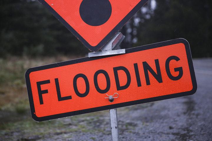
Extensive flooding at Glenorchy and some flooding in low-lying Queenstown streets is predicted in the next few days, as up to 200mm of rain is expected to fall on the Otago headwaters in the 12 hours to noon today.
Otago Regional Council (ORC) staff last night cautioned people in the Queenstown Lakes townships and rural areas to stay up-to-date with the likelihood of rising river and lake levels in coming days.
MetService has issued a heavy rain warning for the Otago headwaters and between 140mm to 200mm of rain is expected to fall between 1am and noon today.
ORC general manager science and resilience Tom Dyer said people could access its environmental data portal for real-time monitoring of rivers and lakes.
The council was actively monitoring lakes and rivers in the area from last night throughout the long weekend, and was advising people of the likelihood of flooding.
Extensive flooding was expected in parts of Glenorchy.
“It’s likely there could be extensive flooding of the northwest part of the township, similar to what occurred in February 2020,” Mr Dyer said.
Some flooding was also expected in low-lying Queenstown streets in the vicinity of Lake Wakatipu, such as low-lying sections of Beach St, Rees St, Marine Pde, Church St and Earl St, where a depth of about 300-400mm was likely; low lying areas of Kingston; low-lying sections of Cornwall St, where about 200-300mm was likely; and across the foreshores of Wanaka.
There were no concerns about the Clutha River.
ORC staff were working with Queenstown Lakes District Council and Emergency Management Otago to ensure businesses in low-lying areas were aware and prepared, Mr Dyer said. — Allied Media