
Another spell of severe weather for the South Island is on its way, with snow, rain and wind gusts forecast.
MetService today issued a series of road snowfall warnings for most alpine passes in South Island and for the Desert Road (State Highway 1) in the central North Island.
From tomorrow, snow was expected to fall in Southland, Otago and Canterbury as low as 200m above sea level in places, according to the forecaster. It may continue falling through to at least Friday in some parts, the New Zealand Transport Agency advised.
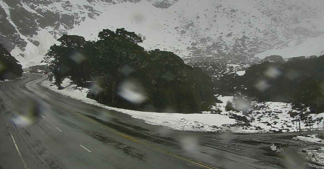
Some of the largest falls were expected on the Milford Road (SH94), where the road closed from East Gate (Hollyford) to Donne River (Westgate) at 5pm today for overnight snow.
About 15cm to 25cm may accumulate about the Homer Tunnel entrance tomorrow, and 2cm to 5cm at Knobs Flat from around dawn.
The road from Te Anau to Milford Sound has been closed several times in recent days due to snow blocking the road and an avalanche risk.
SH94 would likely reopen mid-morning on Wednesday after initial clearing, the Milford Road Alliance advised.
“We expect to have some snowfall from the Knobs Flat area, through to the western side of the Homer Tunnel; this could continue on and off through much of Wednesday. While snow ploughs will be operating, some delays are possible.
“Snow was now forecast every day through to the weekend and further overnight closures should be expected.”
Snow showers may also affect the Crown Range Road, linking Queenstown and Wānaka, until tomorrow afternoon, with up to 2cm accumulating about the summit and lesser amounts further down.
On the Lindis Pass (SH8) in Central Otago, snow was expected to lower to 900 metres tomorrow morning, with up to 4cm settling about the summit. Cooler showers in the afternoon may bring another 1cm to parts of the road above 600 metres.
In Canterbury, the Lewis Pass (SH7) may get as much as 10cm of snow on the ground about the summit, while about 2cm to 3cm were forecast for the Haast Pass (SH6) and Arthur’s Pass (SH73) on Wednesday.
Up to 3cm was forecast for the Desert Road in the North Island until early on Thursday.
New Zealand will continue to see unsettled weather this week as low pressure in the Southern Ocean swings multiple fronts in our direction.
The busiest days will be Wednesday with rain, wind, and high-elevation snow, followed by Friday with heavy rain for the upper North Island. pic.twitter.com/rb7rGCxG8h
— NIWA Weather (@NiwaWeather) September 8, 2025
Meanwhile, thunderstorms may also affect the South Island from Wednesday, while strong wind gusts and rain were also likely.
Ice may also be an issue on some highways later this week after the snow and rain had moved through.
NZTA and contractors would be monitoring the situation and working to keep the highways clear, or closing roads when necessary for safety, a spokesman said today.
“Road users should adjust their driving to the conditions: make sure you are visible, reduce your speed, adjust your travelling distance behind other motorists and avoid sudden braking or turning movements.”
– Allied Media