
A heavy rain watch will be in place for the Bay of Plenty to the east of Whakatāne from 6pm, with a risk the rainfall might upgrade to a warning near the ranges.
The South Island won’t escape the wet weather, with bands of rain falling from Nelson down the Southern Alps, through the West Coast down Fiordland, and thunderstorms possible in the lower regions.
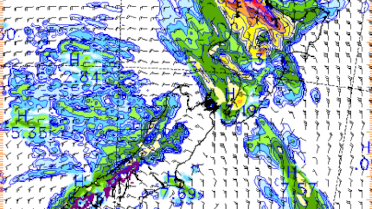
“We’ve got a moderate risk area for the South Island, Fiordland up to the glaciers in Westland in the morning, and then the moderate risk area pushes eastwards into the afternoon and evening for North Otago, Dunedin, Southland and Clutha,” Burrows said.
Southland, Clutha and Dunedin should expect some showers across the day, while the eastern ranges of the Canterbury Plains and Christchurch will have mostly fine weather.
On the weekend, the unsettled outlook will continue, with the North set to be the wetter of the two islands as a complex low-pressure system comes down from the tropics.
“That could bring quite a lot of wet weather for the North Island, a bit more settled for the South Island, but as we push into Tuesday, some of the rain might start to affect the eastern coasts of the South Island with that low-pressure system.”
Lower temperatures could also take hold in the South Island next week, hitting below average in some places.
Looking into next week, those going away for the New Year should prepare for changeable conditions.
While the West Coast of the South Island might be having an unexpectedly fine start to 2026, the rest of the country faces erratic forecasts.
“It’s still quite uncertain, to be honest, as we head to New Year’s Eve and New Year’s Day,” Burrows said. “It just depends how that low-pressure system tracks.”