
“Very heavy to intense rainfall with totals up to 400mm are possible in the cyclone’s core path, leading to rapid flash flooding.”
It is expected the weather system could reach as far as Western Australia.
Cyclone Narelle will likely intensify to a category 5 when it makes landfall, with “very destructive” wind gusts of up to 250km/h expected.
The weather system is expected to make landfall in Far North Queensland early on Friday before moving into the Northern Territory and out towards Western Australia, where it is expected to dissipate on Monday.
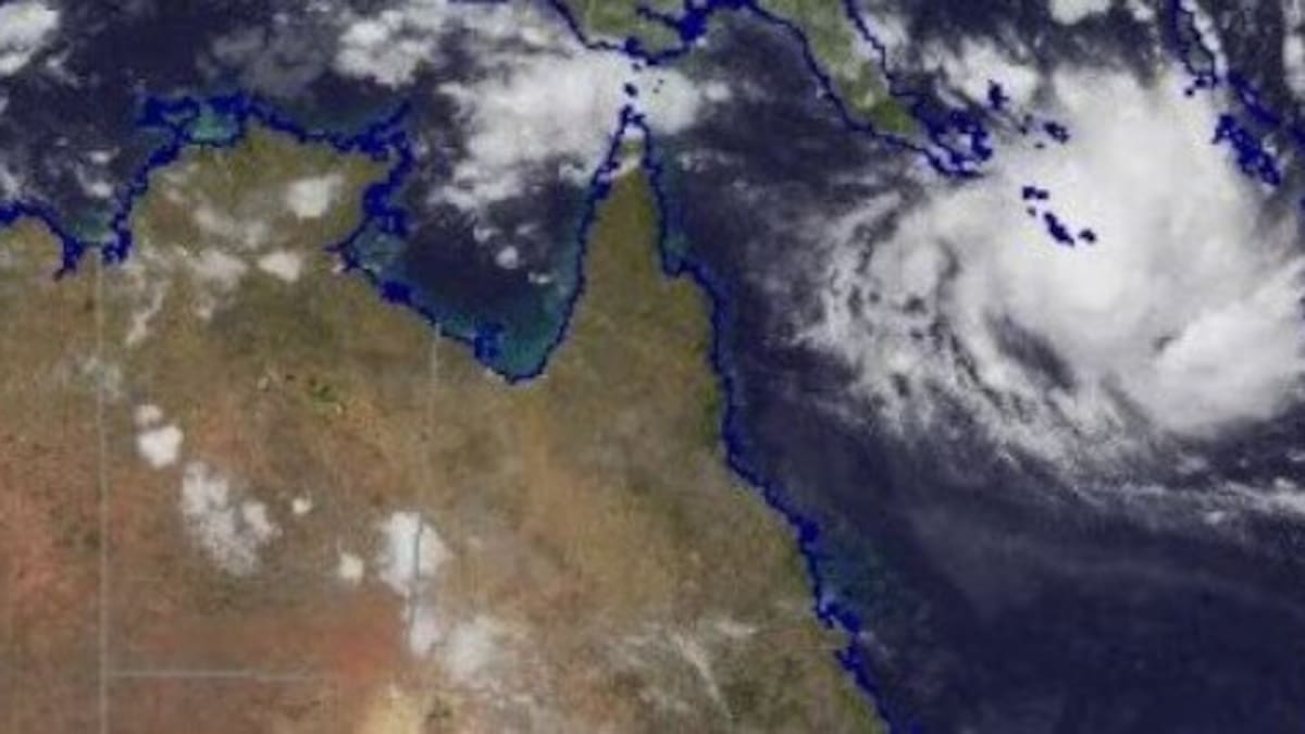
Tropical Cyclone Narelle is expected to make landfall on Friday morning. Photo / Bureau of Meteorology
It was expected to intensify from a category 2 cyclone to a category 5 by Friday morning, Bureau of Meteorology senior meteorologist Sue Oakes said on Wednesday afternoon.
“It’s likely that we will have a severe tropical cyclone by this afternoon, that’s a category 3, with further intensification. Friday morning, we’re likely to see a category 5 system off the North Queensland coast,” Oakes said.
She said it would likely have “severe impacts” on Far North Queensland in the coming days, with Narelle expected to cross the coast as a “very intense system” on Friday morning.
Oakes said “very destructive” winds were likely within the cyclone’s core as the system crosses the coast on Friday, with wind gust estimates of between 200km/h and 250km/h.
“Noting that’s the intense core around the eye of the system, with the destructive winds extending out from that core,” Oakes said.
Heavy and intense rain with the risk of flash flooding is also anticipated.
Cyclone ‘not opportunity for TikTok moment’
Queensland’s state disaster co-ordinator, Chris Stream, said the state “has not seen a cyclone of this intensity for some time”, urging locals not to underestimate the potential for loss of life.
“This is not an opportunity for you to be outside during the cyclone, getting that TikTok moment. Do not do it,” Stream warned.
“A piece of debris being propelled at 100km/h or more will likely kill you, so do not be outside as the cyclone, in particular, a category 5 event, passes over.”
Queensland Premier David Crisafulli said the window to act is “closing”, urging locals to take precautionary measures.
“The situation is evolving. It’s a serious situation, and the window to act is obviously closing, which is why we’re doing this well before a large tropical cyclone,” Crisafulli said.
He warned that this system could be the biggest “in living memory” for many people.
“People in these communities are very resilient … and that’s why we’re asking people to prepare for waves, for wind, for rainfall, for flooding, but communities will get through it if they do those preparations,” Crisafulli continued.
Nearly 50 extra police officers are going into the area, while an additional 74 members from the Queensland Fire Rescue Service have also been brought in.
“Obviously, we’re asking people to do the right thing and limit the need for those rescues, but it’s really important to know that they have been prepositioned,” he said.
A watch zone is in place for the Central Peninsula and Northern Tropical Coast, including Port Douglas, Lockhart River, and Weipa.
Narelle is due to continue westward from the northeast Queensland coast on Friday, moving across the Cape York Peninsula and into the Gulf of Carpentaria.
“As it crosses the Cape York Peninsula, Narelle is likely to weaken. However, it is expected to remain a tropical cyclone,” the bureau’s warning states.
Senior meteorologist Jonathan How earlier said Narelle was the 10th tropical cyclone to be named during Australia’s cyclone season.
How said the cyclone has the potential to “strengthen again” as it crosses the Gulf of Carpentaria before it makes its second landfall over the Northern Territory, which has already experienced severe flooding this month.
“We can expect gale-force winds within the next 24 hours. At this stage, gale to damaging winds will start from around Thursday morning. We’ll see gusts of 120km/h, initially between Lockhart River and Cape Melville, and then extending southward to Port Douglas by Thursday afternoon and into Thursday night,” How said.
“We could see very destructive wind gusts of more than 200km/h near the centre of the system as it does cross the coast. Winds of this strength do have the ability to cause significant damage to property, vehicles, trees and power lines.
“We could even see some pockets of heavy falls all the way down to Cairns. The heaviest rain is expected near the tropical cyclone’s crossing on Friday.
“Six-hourly rainfall rates are likely to exceed 100 to 150mm an hour. This will produce dangerous flash flooding and rapid river rises, and we do have a flood watch current for much of northern Queensland.”
Large tides and dangerous coastal storm surges are also expected.
Sign up to Herald Premium Editor’s Picks, delivered straight to your inbox every Friday. Editor-in-chief Murray Kirkness picks the week’s best features, interviews and investigations. Sign up for Herald Premium here.